Browse / United Kingdom / England / Nottingham
Nottingham
Englandcity

Nottingham
Total population
305,700
Air quality index
Demographic figures from UK Office for National Statistics. Overview below cites Wikipedia and may reference a different year.
City facts
Facts from Wikidata (CC0).
Overview
Nottingham is a city and unitary authority area in Nottinghamshire, East Midlands, England. It is located 42 miles (68 km) south-east of Sheffield and 54 miles (87 km) north-east of Birmingham. Nottingham is the legendary home of Robin Hood's belligerent Sheriff of Nottingham, and is historically associated with the lace-making, bicycle and tobacco industries. The city is also the county town of Nottinghamshire and the settlement was granted its city charter in 1897, as part of Queen Victoria's Diamond Jubilee celebrations. Nottingham is a UNESCO "City of Literature".
Read more on WikipediaHistory & geography
History
The written history of Nottingham dates back to 919 AD, when Edward the Elder captured the settlement, subsequently building a fortress on the south bank of the Trent. Following the Norman Conquest William the Conqueror built a castle in Nottingham, which he entrusted to William Peverel. The Anglo-Saxon settlement was originally confined to the area today known as the Lace Market and was surrounded by a substantial defensive ditch and rampart. The ditch had fallen out of use and been filled in by the time of Domesday Book (1086). Following the Norman Conquest,the Saxon settlement developed into the "English Borough" of Nottingham. A "French Borough" also developed around the castle on the hill opposite. Eventually the space between was built on as the town grew and the Old Market Square became the focus of Nottingham. It is believed that during the Black Death of 1349 approximately 60% of Nottingham's population died but that migration from other parts of England helped begin the process of population recovery. By the 15th century Nottingham had established itself as the centre of a thriving export trade in religious sculpture made from Nottingham alabaster. During the late medieval period Nottingham alabasters were exported as far afield as Iceland and may be one reason why a small number of Icelandic immigrants lived in Nottingham during the 15th century. The town became a county corporate in 1449, giving it effective self-government, in the words of the charter, "for eternity". The Castle and Shire Hall were expressly excluded and remained as detached parishes of Nottinghamshire. One of those highly impressed by Nottingham in the late 18th century was the German traveller C. P. Moritz, who wrote in 1782, "Of all the towns I have seen outside London, Nottingham…
Geography
Nottingham is situated on an area of low hills along the lower valley of the River Trent, and is surrounded by the Sherwood Forest in the north, the Nottinghamshire, Derbyshire and Yorkshire Coalfield in the west, and the Trent and Belvoir Vales in the east and south. Within the city native wildlife includes red fox, peregrine falcon and common kingfisher. Notable nature reserves around the city include Attenborough Nature Reserve SSSI, Sherwood Forest National Nature Reserve, Holme Pit SSSI, Fairham Brook Local Wildlife Site and Wollaton Park. Owing to its position as a central city with strong transport links, Nottingham has become home to invasive animal and plant species including rose-ringed parakeet, Japanese knotweed and Himalayan balsam. In 2017, it was reported that Nottingham was one of a number of UK cities that broke WHO air pollution guidelines for the maximum concentration of small particulate matter, the pollution in part being caused by wood-burning stoves. Nottingham is bounded by a green belt, provisionally drawn up from the 1950s. Completely encircling the city, it extends for several miles into the surrounding districts as well as towards Derby. * Alexandra Park * The Arboretum * Aspley * Bakersfield * Basford * Beechdale * Bestwood * Bestwood Park * Bilborough * Broxtowe * Bulwell town * Bulwell Hall * Carrington * Cinderhill * Clifton * Dunkirk * Forest Fields * Highbury Vale * Hockley * Hyson Green * Lace Market * Lenton * Lenton Abbey * Mapperley * Mapperley Park * The Meadows * New Basford * Nottingham city centre * Old Basford * The Park * Radford * Rise Park * Sherwood * Sherwood Rise * Silverdale * Snape Wood * Sneinton * St Anns * Strelley * Thorneywood * Top Valley * Whitemoor * Wilford * Wollaton * Arnold * Attenborough * Beeston *…
Excerpted from the corresponding Wikipedia article (CC BY-SA).
Geography
Coordinates & boundaries from the US Census TIGER/Line shapefiles.
Climate
Air quality
Current readings from Open-Meteo Air Quality API (Copernicus CAMS European reanalysis).
Walkability
Amenities nearby
Wildlife & biodiversity
Most-observed species
- Common Wood-PigeonColumba palumbus Linnaeus, 1758 · Aves11,698
- European RobinErithacus rubecula (Linnaeus, 1758) · Aves10,237
- Eurasian BlackbirdTurdus merula Linnaeus, 1758 · Aves9,718
- Eurasian MagpiePica pica (Linnaeus, 1758) · Aves9,638
- Eurasian Blue TitCyanistes caeruleus (Linnaeus, 1758) · Aves9,174
- Carrion CrowCorvus corone Linnaeus, 1758 · Aves8,966
- MallardAnas platyrhynchos Linnaeus, 1758 · Aves8,239
- European GoldfinchCarduelis carduelis (Linnaeus, 1758) · Aves7,670
Citizen-science & research observations from the Global Biodiversity Information Facility (GBIF).
Earthquake history
Most recent
- M 2.7 — 2023-06-282 km SE of Cheadle, United Kingdom
- M 3.6 — 2022-05-302 km ESE of Prees, United Kingdom
- M 3.2 — 2022-02-215 km N of Hockley, United Kingdom
- M 2.8 — 2015-09-222 km W of Cottesmore, United Kingdom
- M 3.8 — 2015-01-282 km WSW of Market Overton, United Kingdom
- M 2.6 — 2014-10-282 km NNE of Hucknall, United Kingdom
Events from the USGS Earthquake Catalog (global) (FDSN Event Web Service).
Photos
Sights & places nearby
Notable people from here


People born within ~10 km, from Wikidata (CC0). Click any name for their Wikipedia article.
Nearby places in England
Geography & sun
Elevation, sunrise/sunset and daylight from Open-Meteo. Solar climatology from NASA POWER.
Nearby airports
Public attention
Pageview totals from the Wikimedia Pageviews API.
Books about Nottingham


Search results from Open Library.
Recent natural events nearby
Ground air-quality sensors
Recently spotted species
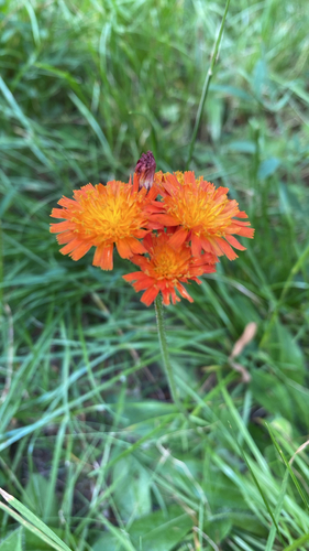
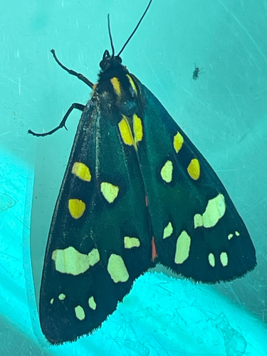
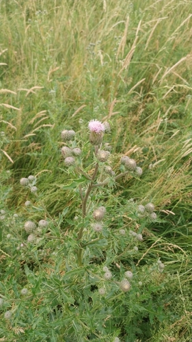
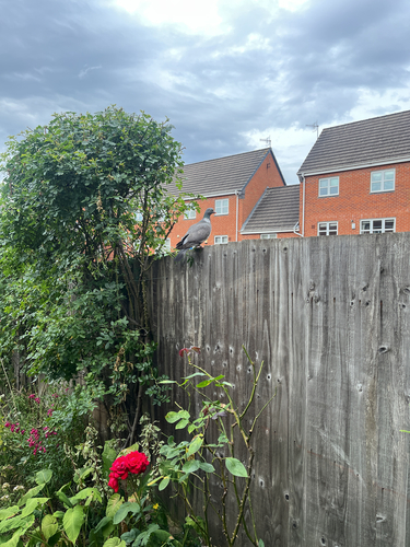
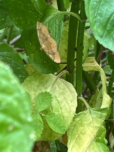
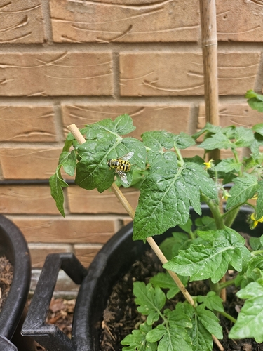
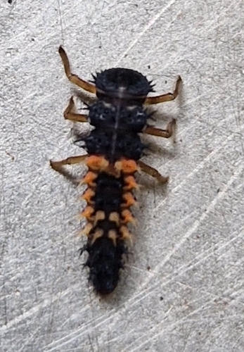
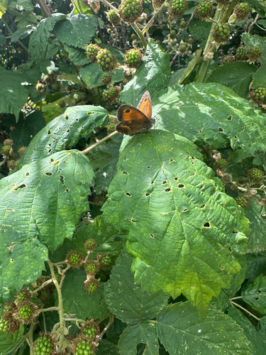
Research-grade observations from iNaturalist (within ~15 mi).
Events
Notable, recurring, and historical events associated with Nottingham, sourced from Wikidata.
Source: Wikidata (CC0).
Gallery
Geotagged photos within ~6 miles of Nottingham, from Wikimedia Commons contributors.


.jpg)
.jpg)


Photos via Wikimedia Commons — see each image page for license & attribution.
Official Identifiers
ONS — UK Office for National Statistics
- ONS code
- osgb4000000074563302
- Local type
- City
- Region
- East Midlands
api.postcodes.io / OS Open Names
Sources
- • Wikipedia
- • Wikimedia Commons
- • Wikidata
- • Open-Meteo Air Quality (CAMS)
- • USGS Earthquake Catalog (global feed)
- • GBIF (Global Biodiversity Information Facility)
- • iNaturalist
- • Open-Meteo / sunrise-sunset.org
- • Wikipedia Pageviews API
- • Open Library
- • Wikidata SPARQL (CC0) — population, area, elevation, inception, head of government, Commons image
- • ONS / OS Open Names — UK official place gazetteer, via api.postcodes.io (OS code, local type, county/unitary, district/borough, region)
- • ONS — UK Office for National Statistics — api.postcodes.io / OS Open Names