Browse / United Kingdom / England / Selsey
Selsey
Englandtown

Selsey
Demographic figures from UK Office for National Statistics. Overview below cites Wikipedia and may reference a different year.
City facts
Facts from Wikidata (CC0).
Overview
Selsey is a seaside town and civil parish, about eight miles (13 km) south of Chichester, West Sussex, England.
Read more on WikipediaHistory & geography
History
The earliest evidence of human habitation in the Selsey area goes back to the Stone Age. Various stone implements have been found which date to the Palaeolithic period. People have been living in the area ever since. Towards the end of the first century B.C. the Atrebates possessed three large urban centres (known as oppida) that served as the tribal mints and possibly the king's court. These were located near modern Silchester, Winchester and the Chichester-Selsey area. So far, in the Chichester-Selsey area, there is no archaeological evidence to confirm this, although various coins from the Atrebates rulers named Commius, Tincommius, Verica, Eppillus, and Cunobelin were found on Selsey beach in 1877, and it is thought that these coins would have been minted locally. The 17th century antiquarian William Camden, and others have posited that the Atrebates settlement was located at the Mixon rocks, now south of Selsey Bill. More recent hypotheses have suggested that the Chichester-Selsey oppidum was distributed across the region. There is evidence of possible Roman activity in Selsey. The archaeologist Barry Cunliffe wrote that in the middle of the first century, the area provided a good base for the transfer of sea-borne goods and the storing and distributing of supplies to support their conquest of south west Britain. When this objective had been achieved the Romans moved their base to Chichester. The Mixon would have been part of the mainland, at the time of the Roman occupation and it is evident that they used its stone for building material. Some Anglo-Saxon gold fragments were found on the beach between Selsey and Bognor, these were dated as late 6th/ 8th century and what made them particularly interesting is that they had a runic inscription on them. The…
Excerpted from the corresponding Wikipedia article (CC BY-SA).
Geography
Coordinates & boundaries from the US Census TIGER/Line shapefiles.
Climate
Air quality
Walkability
Amenities nearby
Wildlife & biodiversity
Earthquake history
Photos
Sights & places nearby
Notable people from here
Nearby places in England
Geography & sun
Elevation, sunrise/sunset and daylight from Open-Meteo. Solar climatology from NASA POWER.
Nearby airports
Public attention
Pageview totals from the Wikimedia Pageviews API.
Books about Selsey

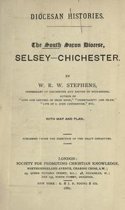

Search results from Open Library.
Recent natural events nearby
Ground air-quality sensors
Recently spotted species
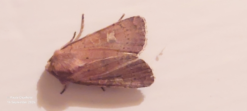
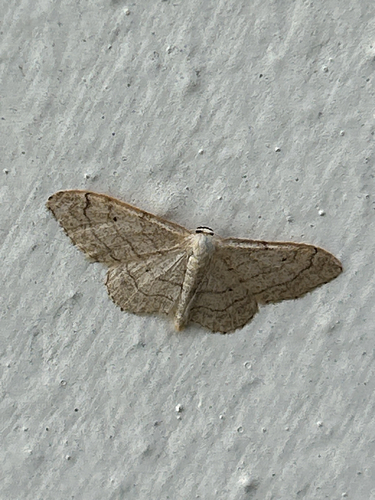
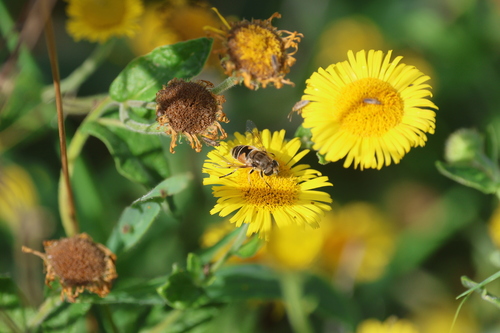
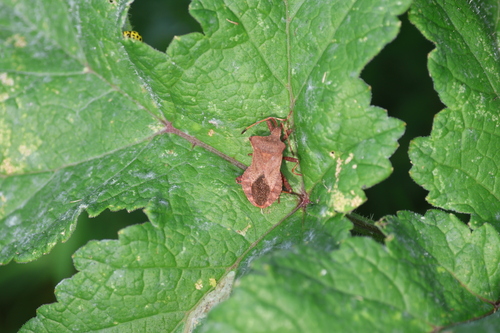
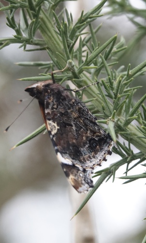
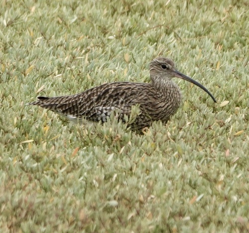
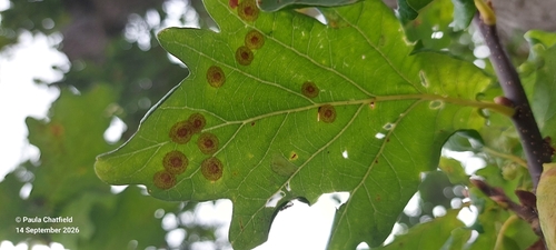
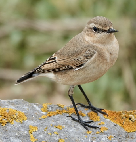
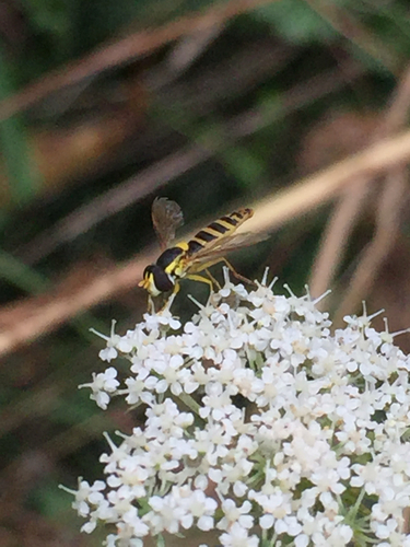
Research-grade observations from iNaturalist (within ~15 mi).
Events
Gallery
Official Identifiers
ONS — UK Office for National Statistics
- ONS code
- osgb4000000074549163
- Local type
- Town
- Region
- South East
api.postcodes.io / OS Open Names
Sources
- • Wikipedia
- • Wikidata
- • iNaturalist
- • Open-Meteo / sunrise-sunset.org
- • Wikipedia Pageviews API
- • Open Library
- • ONS / OS Open Names — UK official place gazetteer, via api.postcodes.io (OS code, local type, county/unitary, district/borough, region)
- • ONS — UK Office for National Statistics — api.postcodes.io / OS Open Names