Browse / United Kingdom / England / Sherborne
Sherborne
Englandtown

Sherborne
Total population
10,365
Demographic figures from UK Office for National Statistics. Overview below cites Wikipedia and may reference a different year.
City facts
Sister cities
Facts from Wikidata (CC0).
Overview
Sherborne is a market town and civil parish in north-west Dorset, England. It is sited on the River Yeo, on the edge of the Blackmore Vale, 6 miles (9.7 km) east of Yeovil. The parish includes the hamlets of Nether Coombe and Lower Clatcombe. The A30 road, which connects London with Penzance, runs through the town. In the 2021 census the population of Sherborne was 10,361.
Read more on WikipediaHistory & geography
History
In 705, the diocese of Wessex was split between Sherborne and Winchester, and King Ine founded an abbey for St Aldhelm, the first Bishop of Sherborne, which covered Dorset, Somerset, and Devon. King Alfred the Great's elder brothers, King Æthelbald and King Æthelberht, are buried in the abbey. The large Sherborne diocese lasted until about 909 when it was further sub-divided into three sees, with Sherborne covering Dorset. In 933, King Æthelstan granted land at Sherborne to the nuns of Shaftesbury Abbey under the condition that they would recite the Psalter once a year on All Saints' day and say prayers for the king. In 1075, the bishop's seat was moved to Old Sarum and the church at Sherborne became a Benedictine monastery. In 1437, the Abbey was damaged by fire after tensions between the town and the monastery came to a head, but much of the Norman structure stands today. Following the Dissolution of the Monasteries, in 1539, the vacated monastery buildings were bought by Sir John Horsey and became the parish church. Sherborne was the centre of Sherborne Hundred for many centuries. In the 12th century, Roger de Caen, Bishop of Salisbury and Chancellor of England, built a fortified palace in Sherborne. During the English Civil War, it was besieged by Sir Thomas Fairfax in 1645, then slighted and left in ruins. Its ruins are now owned by English Heritage. In 1594, Sir Walter Raleigh built an Elizabethan mansion in the grounds of the old palace, today known as Sherborne Castle. Sherborne became home to Yorkshireman Captain Christopher Levett, who came to the West Country as His Majesty's Woodward of Somersetshire, and who remained in Sherborne when he turned to a career as a naval captain and early explorer of New England.
Excerpted from the corresponding Wikipedia article (CC BY-SA).
Geography
Coordinates & boundaries from the US Census TIGER/Line shapefiles.
Climate
Air quality
Walkability
Amenities nearby
Wildlife & biodiversity
Earthquake history
Photos
Sights & places nearby
Notable people from here
Nearby places in England
Geography & sun
Elevation, sunrise/sunset and daylight from Open-Meteo. Solar climatology from NASA POWER.
Nearby airports
Public attention
Pageview totals from the Wikimedia Pageviews API.
Books about Sherborne
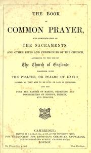
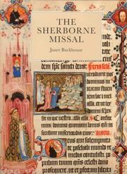

Search results from Open Library.
Recent natural events nearby
Ground air-quality sensors
Recently spotted species
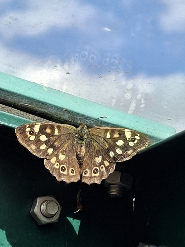
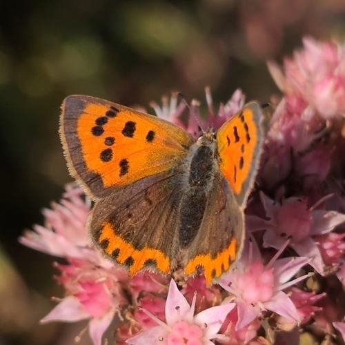
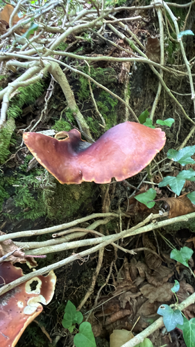
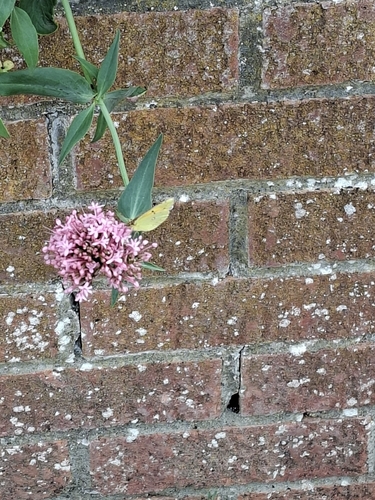
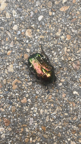
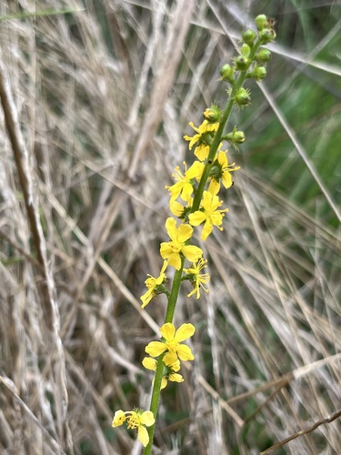
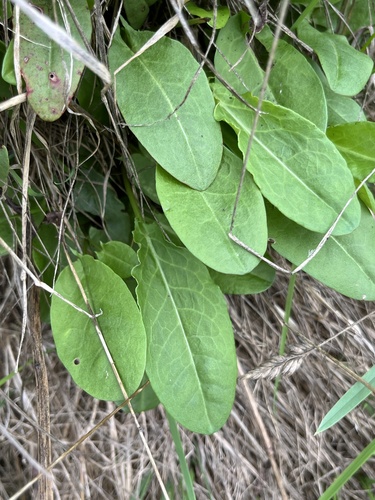
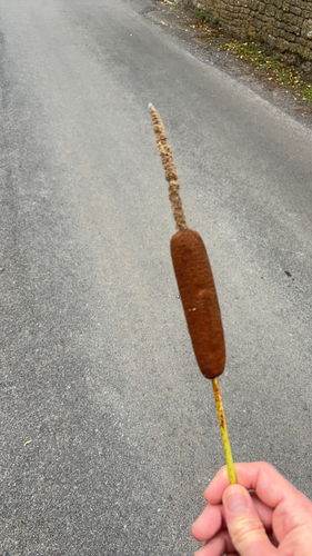
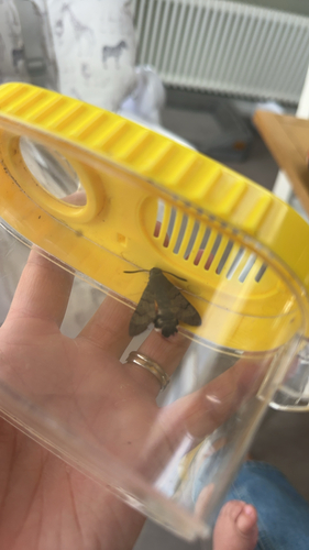
Research-grade observations from iNaturalist (within ~15 mi).
Events
Gallery
Official Identifiers
ONS — UK Office for National Statistics
- ONS code
- osgb4000000074552254
- Local type
- Town
- Region
- South West
api.postcodes.io / OS Open Names
Sources
- • Wikipedia
- • Wikidata
- • iNaturalist
- • Open-Meteo / sunrise-sunset.org
- • Wikipedia Pageviews API
- • Open Library
- • Wikidata SPARQL (CC0) — population, area, elevation, inception, head of government, Commons image
- • ONS / OS Open Names — UK official place gazetteer, via api.postcodes.io (OS code, local type, county/unitary, district/borough, region)
- • ONS — UK Office for National Statistics — api.postcodes.io / OS Open Names