Browse / United Kingdom / England / Solihull
Solihull
Englandtown

Solihull
Total population
206,091
Demographic figures from UK Office for National Statistics. Overview below cites Wikipedia and may reference a different year.
City facts
Sister cities
Facts from Wikidata (CC0).
Overview
Solihull is a market town in the Metropolitan Borough of Solihull in the West Midlands county, England. Solihull is situated on the River Blythe in the Forest of Arden area. The town had a population of 126,577 at the 2021 census, and the wider metropolitan borough had a population of 216,240. The town is located around 8 miles (13 km) southeast of Birmingham and 14 miles (23 km) west of Coventry.
Read more on WikipediaHistory & geography
History
The land now forming Solihull was once covered in the ancient Forest of Arden. The earliest known settlement in the area was at Berry Mound, Shirley, which was the site of an Iron Age Hill Fort, a fortified village protected by earth banks, dating back to the 1st century BC and which covered approximately 11 acres (4.5 ha). The name Shirley means either 'a bright clearing' or 'a border clearing' in the Forest of Arden. During the later Iron Age the River Cole, which feeds the River Blythe, is believed to have been the border between the Corieltauvi and the Cornovii, with Solihull forming the junction of the two powerful Celtic Tribes. Throughout the Roman occupation of Britain it was held that no Roman roads made it through the Forest of Arden because it was so dense. The nearest known major Roman settlements being at Grimstock Hill on the Solihull border, Metchley Fort (around 8.5 miles north west), and Alcester (around 15 miles south). By the Anglo Saxon era, the forest of Arden was part of the Kingdom of Mercia. An assart settlement known as the manor of Ulverlei, meaning 'Wulfhere's clearing' was established, with its centre north east of the hillfort at Shirley. Wulfhere was the first Christian King of all Mercia. The settlement was a clearing in the dense woodland of the Forest of Arden, with the land farmed in common. The older settlement at Shirley was considered part of the new Manor of Ulverlei. This status as a clearing in the countryside is still reflected to this day in the town motto, "Urbs in rure" or "town in the country". Local folklore holds that as part of his campaigns against the Viking invasion in the mid 9th century Alfred the Great fought a battle against the Danes at Berry Mound, Shirley. After the absorption of Mercia into the rest of…
Geography
Solihull is located in the historic Forest of Arden and on the banks of the River Blythe 127 m (416 ft) above sea level. The town, and most of the borough is within the West Midlands Green Belt. The town is southeast of Birmingham, 14 miles (21 km) west of Coventry, northwest of Warwick and northwest of London. The village of Meriden in the Borough of Solihull was historically regarded as the centre of England and marked the dividing line between England's north and south. A listed stone monument commemorating Meriden's status as 'Centre of England' sits on the village green. However, this was discovered to be inaccurate in the 1920s, when the centre of England was in fact calculated to be in Leicestershire.
Excerpted from the corresponding Wikipedia article (CC BY-SA).
Geography
Coordinates & boundaries from the US Census TIGER/Line shapefiles.
Climate
Air quality
Walkability
Amenities nearby
Wildlife & biodiversity
Most-observed species
- Common Wood-PigeonColumba palumbus Linnaeus, 1758 · Aves15,128
- Eurasian MagpiePica pica (Linnaeus, 1758) · Aves13,039
- European RobinErithacus rubecula (Linnaeus, 1758) · Aves12,503
- Eurasian Blue TitCyanistes caeruleus (Linnaeus, 1758) · Aves11,691
- Eurasian BlackbirdTurdus merula Linnaeus, 1758 · Aves11,602
- Carrion CrowCorvus corone Linnaeus, 1758 · Aves11,562
- Great TitParus major Linnaeus, 1758 · Aves9,287
- MallardAnas platyrhynchos Linnaeus, 1758 · Aves8,636
Citizen-science & research observations from the Global Biodiversity Information Facility (GBIF).
Earthquake history
Most recent
- M 2.7 — 2023-06-282 km SE of Cheadle, United Kingdom
- M 3.6 — 2022-05-302 km ESE of Prees, United Kingdom
- M 3.2 — 2022-02-215 km N of Hockley, United Kingdom
- M 3.1 — 2020-09-225 km N of Aylesbury, United Kingdom
- M 2.8 — 2015-09-222 km W of Cottesmore, United Kingdom
- M 3.8 — 2015-01-282 km WSW of Market Overton, United Kingdom
Events from the USGS Earthquake Catalog (global) (FDSN Event Web Service).
Photos
Sights & places nearby
Notable people from here


People born within ~10 km, from Wikidata (CC0). Click any name for their Wikipedia article.
Nearby places in England
Geography & sun
Elevation, sunrise/sunset and daylight from Open-Meteo. Solar climatology from NASA POWER.
Nearby airports
Public attention
Pageview totals from the Wikimedia Pageviews API.
Books about Solihull
Search results from Open Library.
Recent natural events nearby
Ground air-quality sensors
Recently spotted species
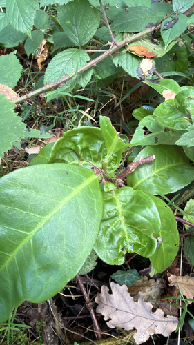
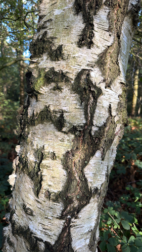
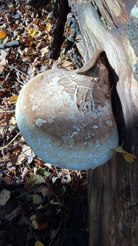
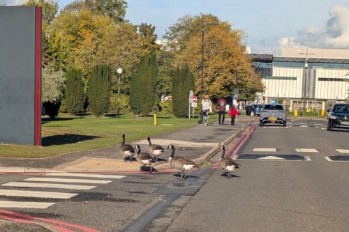

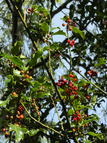
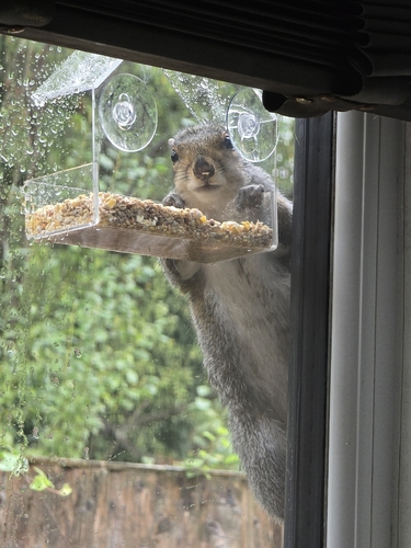
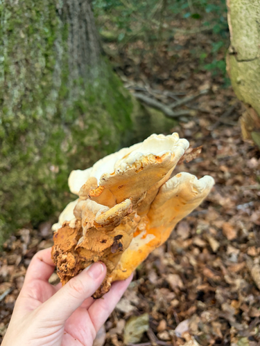
Research-grade observations from iNaturalist (within ~15 mi).
Events
Gallery
Official Identifiers
ONS — UK Office for National Statistics
- ONS code
- osgb4000000074577980
- Local type
- Town
- Region
- West Midlands
api.postcodes.io / OS Open Names
Sources
- • Wikipedia
- • Wikidata
- • USGS Earthquake Catalog (global feed)
- • GBIF (Global Biodiversity Information Facility)
- • iNaturalist
- • Open-Meteo / sunrise-sunset.org
- • Wikipedia Pageviews API
- • Open Library
- • Wikidata SPARQL (CC0) — population, area, elevation, inception, head of government, Commons image
- • ONS / OS Open Names — UK official place gazetteer, via api.postcodes.io (OS code, local type, county/unitary, district/borough, region)
- • ONS — UK Office for National Statistics — api.postcodes.io / OS Open Names