Browse / United Kingdom / England / Southend-on-Sea
Southend-on-Sea
Englandcity

Southend-on-Sea
Total population
183,125
Demographic figures from UK Office for National Statistics. Overview below cites Wikipedia and may reference a different year.
City facts
Facts from Wikidata (CC0).
Overview
Southend-on-Sea, commonly referred to as Southend, is a coastal city and unitary authority area in south-eastern Essex, England. It lies on the north side of the Thames Estuary, 40 miles (64 km) east of central London. It is bordered to the north by Rochford and to the west by Castle Point. The city is one of the most densely populated places in the country outside of London. It is home to the longest pleasure pier in the world, Southend Pier, while London Southend Airport is located to the north of the city centre.
Read more on WikipediaHistory & geography
History
Southend was first recorded in 1309 as Stratende, a small piece of land in the Manor of Milton (now known as Westcliff-on-Sea), within the Parish of Prittlewell. Its next recorded mention was in a will from 1408, where the area south of Prittlewell was called Sowthende. The hamlet of South-end consisting of a few fishermen's huts and Thames Farm farmhouse stayed this way until the mid-18th century. In 1758 a large house was built, which by 1764 had become the Ship Inn. In 1790, the local lord of the Manor of both Prittlewell and Milton (now Westcliff-on-Sea) and landowner Daniel Scratton set aside 35-acres of land at the top of the cliffs to the west of South-end. The development was called New South-End, and the original settlement was renamed Old South-end. A road was cut through the development, which would later become the High Street. In contrast, Old South-end doubled in size during the same period; the Ship Inn and the Anchor and Hope Inn had been built as well as five shops and the Caroline baths. A large house was built by Abraham Vandervord in 1792 in Old South-end which would later become the Minerva public house. Due to the bad transportation links between Southend and London, there was not rapid development during the Georgian Era as there was in Brighton. Margate, although further away from London than Southend, offered cheaper boat and stagecoach fares and had more to offer the visitor. Development was piecemeal in the early 19th century, with a theatre being built in Old South-end by Thomas Trotter in 1804. Her mother, Princess Caroline of Brunswick stayed at 7-9 The Terrace during 1803 and Lady Hamilton held a ball in the hotel assembly room in honour of Lord Nelson in 1805. The visit of Princess Caroline boosted Southend's popularity with tourists.…
Excerpted from the corresponding Wikipedia article (CC BY-SA).
Geography
Coordinates & boundaries from the US Census TIGER/Line shapefiles.
Climate
Air quality
Walkability
Amenities nearby
Wildlife & biodiversity
Earthquake history
Photos
Sights & places nearby
Notable people from here


People born within ~10 km, from Wikidata (CC0). Click any name for their Wikipedia article.
Nearby places in England
Geography & sun
Elevation, sunrise/sunset and daylight from Open-Meteo. Solar climatology from NASA POWER.
Nearby airports
Public attention
Pageview totals from the Wikimedia Pageviews API.
Books about Southend-on-Sea


![[Report 1969]](https://covers.openlibrary.org/b/id/8154128-M.jpg)
Search results from Open Library.
Recent natural events nearby
Ground air-quality sensors
Recently spotted species
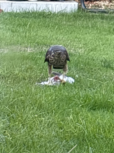
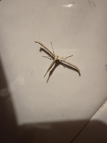
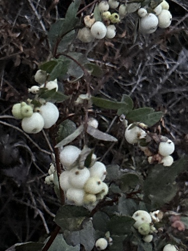
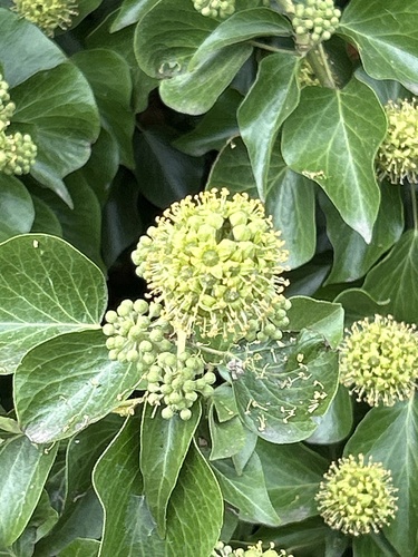
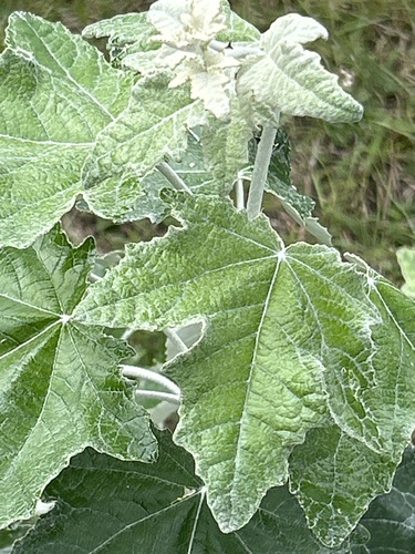
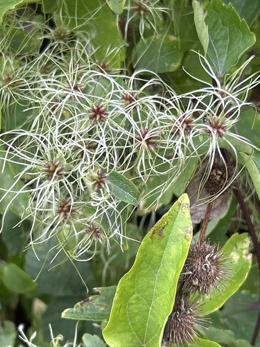
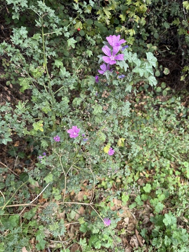
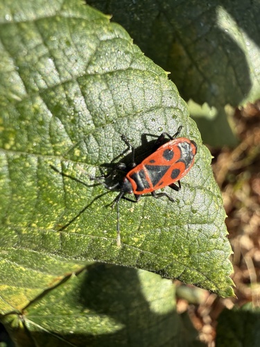
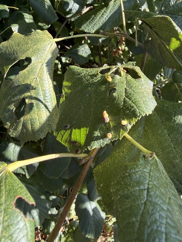
Research-grade observations from iNaturalist (within ~15 mi).
Events
Gallery
Official Identifiers
ONS — UK Office for National Statistics
- ONS code
- osgb4000000074548096
- Local type
- City
- Region
- Eastern
api.postcodes.io / OS Open Names
Sources
- • Wikipedia
- • Wikidata
- • iNaturalist
- • Open-Meteo / sunrise-sunset.org
- • Wikipedia Pageviews API
- • Open Library
- • Wikidata SPARQL (CC0) — population, area, elevation, inception, head of government, Commons image
- • ONS / OS Open Names — UK official place gazetteer, via api.postcodes.io (OS code, local type, county/unitary, district/borough, region)
- • ONS — UK Office for National Statistics — api.postcodes.io / OS Open Names