Browse / United Kingdom / England / Spennymoor
Spennymoor
Englandtown

Spennymoor
Demographic figures from UK Office for National Statistics. Overview below cites Wikipedia and may reference a different year.
City facts
Facts from Wikidata (CC0).
Overview
Spennymoor is a town and civil parish in County Durham, England. It is south of the River Wear and is 7 mi (11 km) south of Durham. The civil parish includes the villages of Kirk Merrington, Middlestone Moor, Byers Green and Tudhoe. In 2011 the parish had a population of 19,816.
Read more on WikipediaHistory & geography
History
The land on which Spennymoor now stands was once a vast expanse of moorland covered with thorn and whin bushes (Spenny Moor). In 1336 its place-name was recorded as Spendingmor. The name is probably derived from the Old English or Old Norse spenning and mōr, meaning a moor with a fence or enclosure. Another theory of the place-name's origin is from the Latin spina, meaning thorn (possibly from the Roman influence at Binchester) combined with the Old English or Old Norse mōr. CE Jackson, in his Place Names of Durham published in 1916 suggested a combination of the Old Norse spaan with Old English mar, meaning the moor named after the shingle-hut erected thereon. Neither Britons nor Romans cultivated the moor, but on the site of Binchester, a village about to the southwest, the Romans built a camp around which grew up the settlement of Vinovia. The name Binchester is the usual Old English corruption or adaptation of the Roman site name. This fortress must have been of great strength, for it stood on a height above the River Wear; many coins, urns, altars and pieces of Roman pottery have been found, as well as the remains of a hypocaust of the heating system. Later, Binchester became one of the "vills" of the Earl of Northumberland who held it until 1420 when it passed to the Nevilles who finally forfeited it with other lands in 1569. As is to be expected, the moor itself offers little of historical interest but it is linked with the records of Kirk Merrington, Whitworth Old Park, Binchester, Byers Green and Tudhoe, all of which form a part of the early days of Spennymoor. All these villages had common rights on the moor but, as it became denuded by increasing flocks, some of the local people were induced to relinquish their rights and so, gradually, the common became…
Excerpted from the corresponding Wikipedia article (CC BY-SA).
Geography
Coordinates & boundaries from the US Census TIGER/Line shapefiles.
Climate
Air quality
Walkability
Amenities nearby
Wildlife & biodiversity
Earthquake history
Photos
Sights & places nearby
Notable people from here
Nearby places in England
Geography & sun
Elevation, sunrise/sunset and daylight from Open-Meteo. Solar climatology from NASA POWER.
Nearby airports
Public attention
Pageview totals from the Wikimedia Pageviews API.
Books about Spennymoor


Search results from Open Library.
Recent natural events nearby
Ground air-quality sensors
Recently spotted species
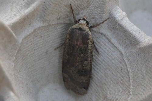
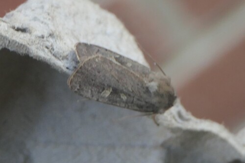
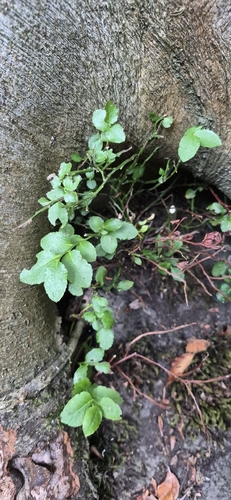
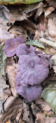
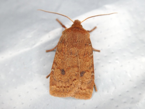
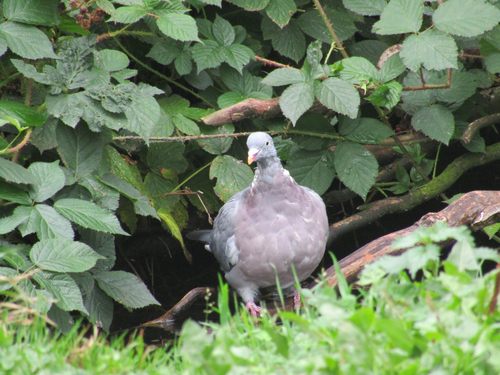
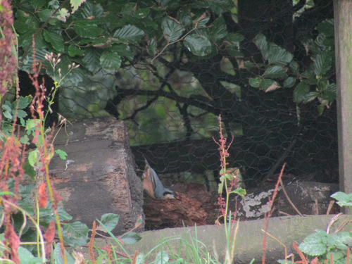
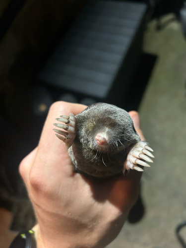
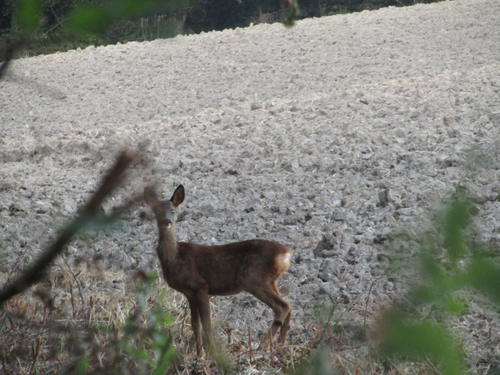
Research-grade observations from iNaturalist (within ~15 mi).
Events
Gallery
Official Identifiers
ONS — UK Office for National Statistics
- ONS code
- E04010696
- Population (Wikidata)
- 19,149
- Wikidata
- Q2219517
api.postcodes.io / OS Open Names
Sources
- • Wikipedia
- • Wikidata
- • iNaturalist
- • Open-Meteo / sunrise-sunset.org
- • Wikipedia Pageviews API
- • Open Library
- • ONS / OS Open Names — UK official place gazetteer, via api.postcodes.io (OS code, local type, county/unitary, district/borough, region)
- • ONS — UK Office for National Statistics — api.postcodes.io / OS Open Names