Browse / United Kingdom / England / Sunderland
Sunderland
Englandcity

Sunderland
Total population
275,300
Demographic figures from UK Office for National Statistics. Overview below cites Wikipedia and may reference a different year.
City facts
Sister cities
Facts from Wikidata (CC0).
Overview
Sunderland is a port city in the county of Tyne and Wear in North East England. It is a port at the mouth of the River Wear on the North Sea, approximately 10 miles (16 km) south-east of Newcastle upon Tyne. It is the most populous settlement in the Wearside conurbation and the second-most populous settlement, after Newcastle. It is the administrative centre of the wider Metropolitan Borough of Sunderland.
Read more on WikipediaHistory & geography
History
The earliest inhabitants of the Sunderland area were Stone Age hunter-gatherers. Artefacts from this era have been discovered, including microliths found during excavations at St Peter's Church, Monkwearmouth. During the final phase of the Stone Age, the Neolithic period ( BC), Hastings Hill, on the western outskirts of Sunderland, was a focal point of activity and a place of burial and ritual significance. Evidence includes the former presence of a cursus monument. It is believed the Brythonic-speaking Brigantes inhabited the area around the River Wear in pre-Roman Britain. There is a long-standing local legend that there was a Roman settlement on the south bank of the River Wear on what is the site of the former Vaux Brewery, although no archaeological investigation has taken place. Roman artefacts have been recovered in the River Wear at North Hylton, including four stone anchors, which may support the theory there was a Roman dam or port on the River Wear. Recorded settlements at the mouth of the Wear date to , when an Anglo-Saxon nobleman, Benedict Biscop, was granted land by King Ecgfrith and founded the Wearmouth–Jarrow (St Peter's) monastery on the north bank of the river—an area that became known as Monkwearmouth. Biscop's monastery was the first built of stone in Northumbria. He employed glaziers from France and in doing so he re-established glass making in Britain. In 686, the community was taken over by Ceolfrid, and Wearmouth–Jarrow became a major centre of learning and knowledge in Anglo-Saxon England with a library of around 300 volumes. The Codex Amiatinus, described by biblical scholar Henry Julian White (1859–1934) as the 'finest book in the world', was created at the monastery and was likely worked on by Bede, who was born at Wearmouth in 673.…
Geography
Much of the city is located on a low range of hills running parallel to the coast. On average, it is around 80 metres above sea level. Sunderland is divided by the River Wear which passes through the middle of the city in a deeply incised valley, part of which is known as the Hylton gorge. Several smaller bodies of water, such as Hendon Burn and the Barnes Burn, run through the suburbs. The three road bridges connecting the north and south portions of the city are the Queen Alexandra Bridge at Pallion, the Wearmouth Bridge just to the north of the city centre and most recently the Northern Spire Bridge between Castletown and Pallion. A pedestrian and cycle bridge called the Keel Crossing was constructed between 2023 and 2025. To the west of the city, the Hylton Viaduct carries the A19 dual-carriageway over the Wear (see map below). The city has a number of public parks. Several of these are historic, including Mowbray Park, Roker Park and Barnes Park. In the early 2000s, Herrington Country Park was opened opposite Penshaw Monument. The city's parks have secured several awards for its commitment to preserving natural facilities, receiving the Britain in Bloom collective in 1993, 1997 and 2000. Approximately 70% of the population of the built-up area lives on the south side of the river and 30% on the north side. The built-up area extends to the seafront at Hendon and Ryhope in the south and Seaburn in the north. The built-up area is surrounded by the Tyne and Wear Green Belt, with its portion in much of its surrounding rural area of the borough. It is a part of the local development plan, of which its stated aims | date=August 2015 }}
Excerpted from the corresponding Wikipedia article (CC BY-SA).
Geography
Coordinates & boundaries from the US Census TIGER/Line shapefiles.
Climate
Air quality
Walkability
Amenities nearby
Wildlife & biodiversity
Most-observed species
- Common Wood-PigeonColumba palumbus Linnaeus, 1758 · Aves15,814
- Carrion CrowCorvus corone Linnaeus, 1758 · Aves13,027
- Herring GullLarus argentatus Pontoppidan, 1763 · Aves12,979
- Eurasian BlackbirdTurdus merula Linnaeus, 1758 · Aves12,543
- Eurasian MagpiePica pica (Linnaeus, 1758) · Aves12,468
- European RobinErithacus rubecula (Linnaeus, 1758) · Aves10,908
- Eurasian Blue TitCyanistes caeruleus (Linnaeus, 1758) · Aves10,352
- Western JackdawColoeus monedula (Linnaeus, 1758) · Aves9,760
Citizen-science & research observations from the Global Biodiversity Information Facility (GBIF).
Earthquake history
Most recent
- M 2.8 — 2020-01-231 km NW of Stockton-on-Tees, United Kingdom
- M 3.6 — 2011-01-035 km S of Masham, United Kingdom
Events from the USGS Earthquake Catalog (global) (FDSN Event Web Service).
Photos
Sights & places nearby
Notable people from here


People born within ~10 km, from Wikidata (CC0). Click any name for their Wikipedia article.
Nearby places in England
Geography & sun
Elevation, sunrise/sunset and daylight from Open-Meteo. Solar climatology from NASA POWER.
Nearby airports
Public attention
Pageview totals from the Wikimedia Pageviews API.
Books about Sunderland

Search results from Open Library.
Recent natural events nearby
Ground air-quality sensors
Recently spotted species
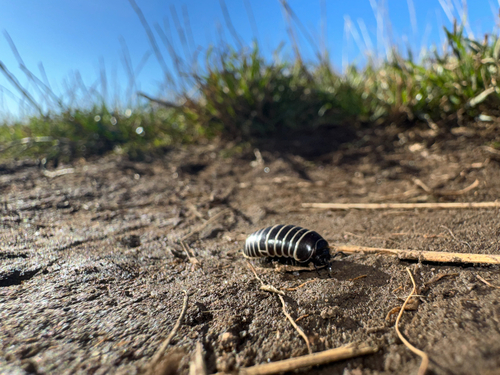
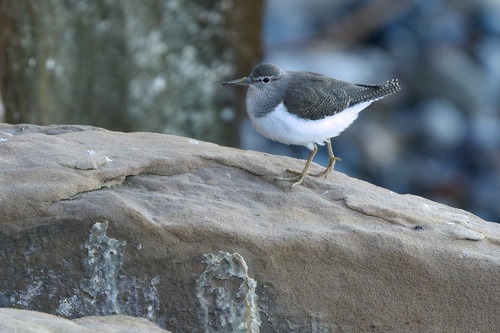
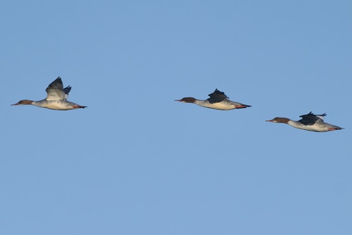
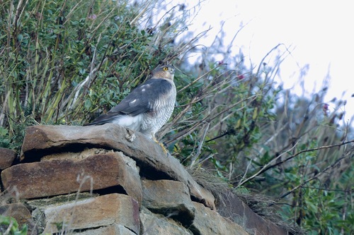
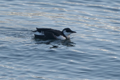
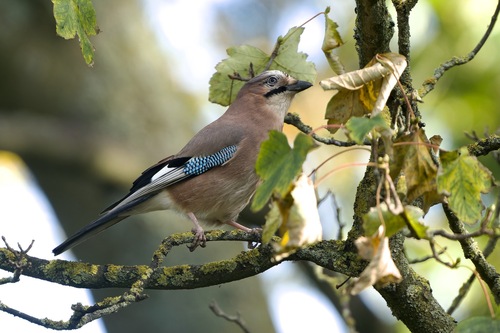
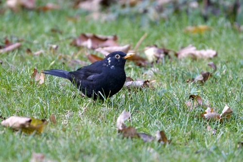
Research-grade observations from iNaturalist (within ~15 mi).
Events
Gallery
Official Identifiers
ONS — UK Office for National Statistics
- ONS code
- osgb4000000074553839
- Local type
- City
- Region
- North East
api.postcodes.io / OS Open Names
Sources
- • Wikipedia
- • Wikidata
- • USGS Earthquake Catalog (global feed)
- • GBIF (Global Biodiversity Information Facility)
- • iNaturalist
- • Open-Meteo / sunrise-sunset.org
- • Wikipedia Pageviews API
- • Open Library
- • Wikidata SPARQL (CC0) — population, area, elevation, inception, head of government, Commons image
- • ONS / OS Open Names — UK official place gazetteer, via api.postcodes.io (OS code, local type, county/unitary, district/borough, region)
- • ONS — UK Office for National Statistics — api.postcodes.io / OS Open Names