Browse / United Kingdom / England / Swindon
Swindon
Englandtown

Swindon
Total population
233,410
Air quality index
Demographic figures from UK Office for National Statistics. Overview below cites Wikipedia and may reference a different year.
City facts
Sister cities
Facts from Wikidata (CC0).
Overview
Swindon is a town in Wiltshire, England. At the time of the 2021 census, the population of the built-up area was 224,942, making it the largest settlement in the county. Located at the northeastern edge of the South West England region, Swindon lies on the M4 corridor, 84 miles (135 km) to the west of London and 36 miles (57 km) to the east of Bristol. The Cotswolds lie just to the town's north and the North Wessex Downs lie just to the town's south. It is the centre of Swindon unitary authority.
Read more on WikipediaHistory & geography
History
The Anglo-Saxon settlement of Swindon sat in a defensible position atop a limestone hill. It is referred to in the 1086 Domesday Book as Suindune, believed to be derived from the Old English words "swine" and "dun" meaning "pig hill" or possibly Sweyn's hill, Sweyn being a Scandinavian name akin to Sven and English swain, meaning a young man. Swindon is recorded in the Domesday Book as a manor in the hundred of Blagrove, Wiltshire. It was one of the larger manors, recorded as having 27 households and a rent value of £10 14s, which was divided among five landlords. The manors of Westlecot, Walcot, Rodbourne, Moredon and Stratton are also listed; all are now part of Swindon. The Goddard family were lord of the manor from the 16th century for many generations, living at the manor house, sometimes known as The Lawn. Swindon was a small market town, mainly for barter trade, until roughly 1848. This original market area is on top of the hill in central Swindon, now known as Old Town. The Industrial Revolution was responsible for an acceleration of Swindon's growth. Construction of the Wilts and Berks Canal in 1810 and the North Wilts Canal in 1819 brought trade to the area, and Swindon's population started to grow. Between 1841 and 1842, Isambard Kingdom Brunel's Swindon Works was built for the repair and maintenance of locomotives on the Great Western Railway (GWR). The GWR built a small railway village to house some of its workers. The Museum of the Great Western Railway and English Heritage, including the English Heritage Archive, now occupy part of the old works. In the village were the GWR Medical Fund Clinic at Park House and its hospital, both on Faringdon Road, and the 1892 health centre in Milton Road, which housed clinics, a pharmacy, laundries, baths,…
Geography
Swindon is a town in northeast Wiltshire, west-northwest of Reading and the same distance east-northeast of Bristol 'as the crow flies'. The town is also southwest of Oxford, south-southeast of Birmingham, west of London and east of Cardiff. Swindon town centre is also equidistant from the county boundaries of Berkshire and Gloucestershire, both being away. The border with Oxfordshire is slightly closer, being around away. Swindon is within a landlocked county and is a considerable distance from any coastline. The nearest section of coast on the English Channel is near Christchurch, due south. Meanwhile, the eastern limit of the Bristol Channel, just north of Weston-super-mare, lies to the west. The landscape is dominated by the chalk hills of the Wiltshire Downs to the south and east. The Old Town stands on a hill of Purbeck and Portland stone; this was quarried from Roman times until the 1950s. The area that was known as New Swindon is made up of mostly Kimmeridge clay with outcrops of Corrallian clay in the areas of Penhill and Pinehurst. Oxford clay makes up the rest of the borough. The River Ray rises at Wroughton and forms much of the borough's western boundary, joining the Thames which defines the northern boundary, and the source of which is located in nearby Kemble, Gloucestershire. The River Cole and its tributaries flow northeastward from the town and form the northeastern boundary. * Nearby towns: Calne, Chippenham, Royal Wootton Bassett, Cirencester, Cricklade, Devizes, Highworth, Marlborough, Witney and Malmesbury * Nearby villages: Badbury, Blunsdon, Broad Hinton, Chiseldon, Hook, Liddington, Lydiard Millicent, Lyneham, Minety, Purton, South Marston, Wanborough, Wroughton * Nearby places of interest: Avebury, Barbury Castle, Crofton Pumping…
Excerpted from the corresponding Wikipedia article (CC BY-SA).
Geography
Coordinates & boundaries from the US Census TIGER/Line shapefiles.
Climate
Air quality
Current readings from Open-Meteo Air Quality API (Copernicus CAMS European reanalysis).
Walkability
Amenities nearby
Wildlife & biodiversity
Most-observed species
- Common Wood-PigeonColumba palumbus Linnaeus, 1758 · Aves8,011
- Eurasian BlackbirdTurdus merula Linnaeus, 1758 · Aves6,511
- Eurasian Blue TitCyanistes caeruleus (Linnaeus, 1758) · Aves6,302
- European RobinErithacus rubecula (Linnaeus, 1758) · Aves6,281
- European GoldfinchCarduelis carduelis (Linnaeus, 1758) · Aves5,311
- Common ChaffinchFringilla coelebs Linnaeus, 1758 · Aves5,226
- Western JackdawColoeus monedula (Linnaeus, 1758) · Aves4,649
- Eurasian MagpiePica pica (Linnaeus, 1758) · Aves4,623
Citizen-science & research observations from the Global Biodiversity Information Facility (GBIF).
Earthquake history
Most recent
- M 3.4 — 2023-02-241 km ENE of Brynmawr, United Kingdom
- M 3.1 — 2020-09-225 km N of Aylesbury, United Kingdom
- M 3.9 — 2020-09-082 km WSW of Pitstone, United Kingdom
- M 2.9 — 2015-01-271 km ENE of Winchester, United Kingdom
- M 3.9 — 2008-10-262 km N of Bromyard, United Kingdom
- M 2.5 — 2006-08-141 km E of North Petherton, United Kingdom
Events from the USGS Earthquake Catalog (global) (FDSN Event Web Service).
Photos
Sights & places nearby
Notable people from here


People born within ~10 km, from Wikidata (CC0). Click any name for their Wikipedia article.
Nearby places in England
Geography & sun
Elevation, sunrise/sunset and daylight from Open-Meteo. Solar climatology from NASA POWER.
Nearby airports
Public attention
Pageview totals from the Wikimedia Pageviews API.
Books about Swindon
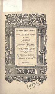
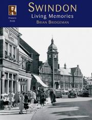


Search results from Open Library.
Recent natural events nearby
Ground air-quality sensors
Recently spotted species
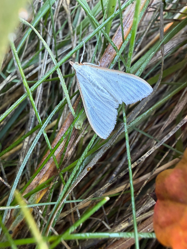
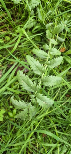
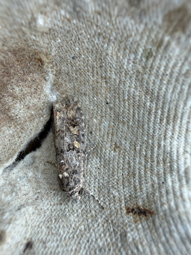
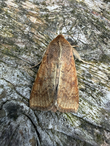
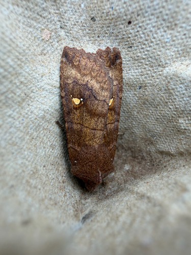
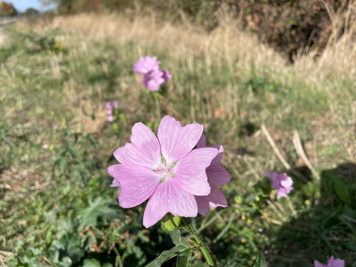

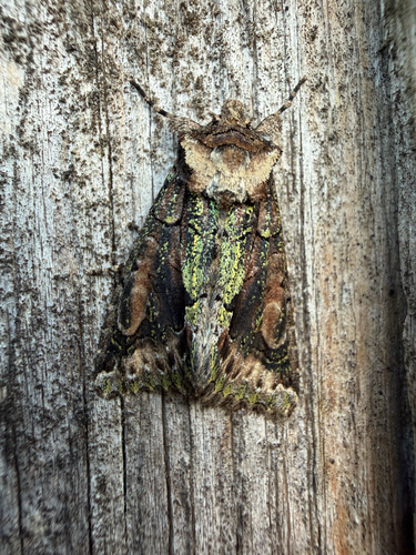
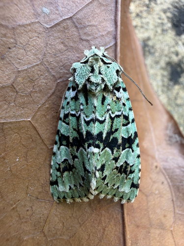
Research-grade observations from iNaturalist (within ~15 mi).
Events
Gallery
Geotagged photos within ~6 miles of Swindon, from Wikimedia Commons contributors.


_-_geograph.org.uk_-_1875517.jpg)
_-_geograph.org.uk_-_1875518.jpg)
_-_geograph.org.uk_-_1875519.jpg)
_-_geograph.org.uk_-_1875520.jpg)
_-_geograph.org.uk_-_1875521.jpg)


Photos via Wikimedia Commons — see each image page for license & attribution.
Official Identifiers
ONS — UK Office for National Statistics
- ONS code
- osgb4000000074566189
- Local type
- Town
- Region
- South West
api.postcodes.io / OS Open Names
Sources
- • Wikipedia
- • Wikimedia Commons
- • Wikidata
- • Open-Meteo Air Quality (CAMS)
- • USGS Earthquake Catalog (global feed)
- • GBIF (Global Biodiversity Information Facility)
- • iNaturalist
- • Open-Meteo / sunrise-sunset.org
- • Wikipedia Pageviews API
- • Open Library
- • Wikidata SPARQL (CC0) — population, area, elevation, inception, head of government, Commons image
- • ONS / OS Open Names — UK official place gazetteer, via api.postcodes.io (OS code, local type, county/unitary, district/borough, region)
- • ONS — UK Office for National Statistics — api.postcodes.io / OS Open Names