Browse / United States / Utah / Bountiful
Bountiful
Utahcity

Bountiful
Total population
45,023
Median home value
$532,200
Bachelor's+
Median income
$104,785
Founded
1847
Demographic figures from US Census Bureau · ACS 5-year estimates. Overview below cites Wikipedia and may reference a different year.
City facts
Facts from Wikidata (CC0).
Overview
Bountiful is a city in Davis County, Utah. As of the 2020 census, the city population was 45,762, an eight percent increase over the 2010 figure of 42,552. The city grew rapidly during the suburb growth of the late 1940s, 1950s, and 1960s and was Davis County's largest city until 1985, when it was surpassed by Layton. Bountiful is Utah's 18th-largest city.
Read more on WikipediaHistory & geography
History
Bountiful was settled on September 27, 1847, by Perrigrine Sessions and his family. It was Utah's second settlement after Salt Lake City. It was known as Sessions Settlement and North Canyon Ward before being named Bountiful in 1855. This city was so named both because of the city's reputation as a great place for gardening and because "Bountiful" is the name of a city in the Book of Mormon (Alma 52:9). Most of the settlers, and also many of the present inhabitants, are members of the Church of Jesus Christ of Latter-day Saints (LDS). The city also shares 14 other religious institutions, including a Catholic school and church, Saint Olaf School, established in 1959. The Bountiful Utah Temple was dedicated in 1995 by the LDS Church. A tabernacle of The Church of Jesus Christ of Latter-day Saints is also located in Bountiful. The city was incorporated in 1892 with Joseph L Holbrook as mayor. In 1907 electric lights came to Bountiful through the efforts of its citizens. Serial killer Ted Bundy snatched victim Debra Kent from Viewmont High School in Bountiful on November 8, 1974. The city celebrates its history at the annual [http://www.handcartdays.org Handcart Days] celebration every July in conjunction with the U.S. State of Utah's official holiday, Pioneer Day. Handcart Days is a volunteer-driven event. People from Six cities in the south of Davis County, Utah come together to commemorate the first group of Mormon Pioneers’ entry into the Salt Lake Valley on July 24, 1847. The festivities include a parade, fireworks, games, entertainment, an art exhibit, and food.
Geography
According to the United States Census Bureau, the city has a total area of 13.5 square miles (34.9 km), all land. The original portion of the city and downtown is located at the base of the Wasatch Range, which rises high to the east, overlooking the city. Most of the residential neighborhoods climb high up the slopes of the mountain. To the west lies a flatland that extends to the Great Salt Lake and the mudflats and marshes that border it. Areas of Bountiful include Val Verda in the southern part of the city. The cities surrounding Bountiful include: North Salt Lake to the south, Woods Cross and West Bountiful to the west, and Centerville to the north. Most land to the east of Bountiful is U.S. Forest Service property. Under the Köppen climate classification system, Bountiful's climate can be described as dry or arid.
Excerpted from the corresponding Wikipedia article (CC BY-SA).
Demographics & economy
Race & ethnicity
Source: US Census Bureau — American Community Survey, 5-year estimates.
Geography
Coordinates & boundaries from the US Census TIGER/Line shapefiles.
Climate
Current forecast
Forecast for Bountiful, UT from NOAA NWS API.
Air quality
Industrial & pollution facilities
Natural hazard risk
Health (adults)
Age-adjusted prevalence estimates from CDC PLACES (latest release).
Walkability
Amenities nearby
Wildlife & biodiversity
Schools
Largest nearby schools
- Farmington HighHigh · FARMINGTON · 2,083 students · 26.7:1 ratio
- Woods Cross HighHigh · WOODS CROSS · 1,567 students · 24.1:1 ratio
- Viewmont HighHigh · BOUNTIFUL · 1,518 students · 24.9:1 ratio
- Bountiful HighHigh · BOUNTIFUL · 1,482 students · 26.9:1 ratio
- Farmington Jr HighMiddle · FARMINGTON · 1,293 students · 28.1:1 ratio
- South Davis Jr HighMiddle · BOUNTIFUL · 1,095 students · 26.1:1 ratio
- Mueller Park Jr HighMiddle · BOUNTIFUL · 1,089 students · 25.3:1 ratio
- Centerville Jr HighMiddle · CENTERVILLE · 976 students · 25.7:1 ratio
Public K–12 schools within ~10 mi from Urban Institute Education Data Portal (NCES Common Core of Data, 2022).
Earthquake history
Photos
Sights & places nearby
Notable people from here


People born within ~10 km, from Wikidata (CC0). Click any name for their Wikipedia article.
Nearby places in Utah
- Woods Cross3 mi away
- West Bountiful3.2 mi away
- North Salt Lake3.5 mi away · pop. 21,907
- Centerville3.9 mi away
- Emigration Canyon metro township8.5 mi away
- Fruit Heights11 mi away
- South Salt Lake11.7 mi away · pop. 26,777
- Holladay14.8 mi away · pop. 31,965
- Murray15.4 mi away · pop. 50,637
- Summit Park16.9 mi away
- Clearfield17.5 mi away · pop. 31,909
- Enterprise17.6 mi away
Geography & sun
Elevation, sunrise/sunset and daylight from Open-Meteo. Solar climatology from NASA POWER.
Nearby airports
Public attention
Pageview totals from the Wikimedia Pageviews API.
Books about Bountiful


Search results from Open Library.
Recent natural events nearby
- Wildfire Rocky Canyon, Morgan, UtahWildfires · 2026-08-07 · 12 mi
- Wildfire Brushy Canyon, Box Elder, UtahWildfires · 2026-08-27 · 43 mi
- Wildfire Johnson Canyon, Box Elder, UtahWildfires · 2026-08-01 · 73 mi
- Wildfire Tom Creek, Tooele, UtahWildfires · 2026-08-24 · 75 mi
- Wildfire Salt Wells, Box Elder, UtahWildfires · 2026-08-21 · 77 mi
- Wildfire Black Canyon, Sanpete, UtahWildfires · 2026-07-30 · 107 mi
- Wildfire North Heglar, Cassia, IdahoWildfires · 2026-08-19 · 129 mi
- Wildfire Lake Channel, Power, IdahoWildfires · 2026-07-29 · 137 mi
Wildfires, storms and other events from NASA EONET (last 12 months, within 250 mi).
Ground air-quality sensors
Recently spotted species
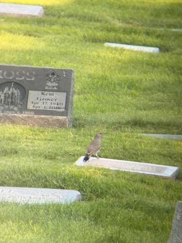
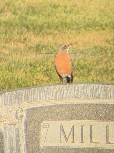
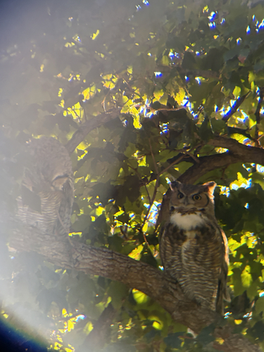
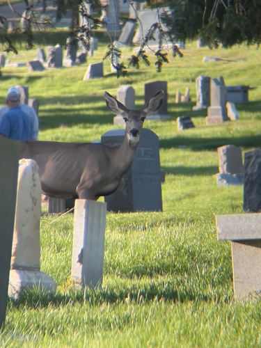
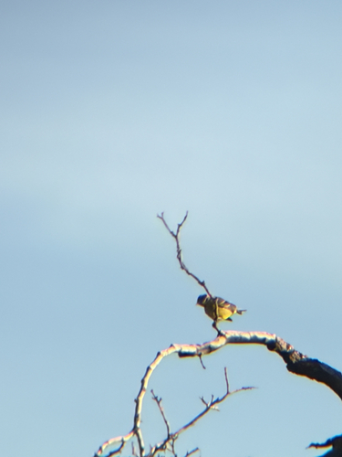
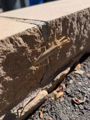
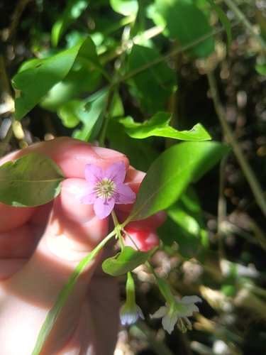
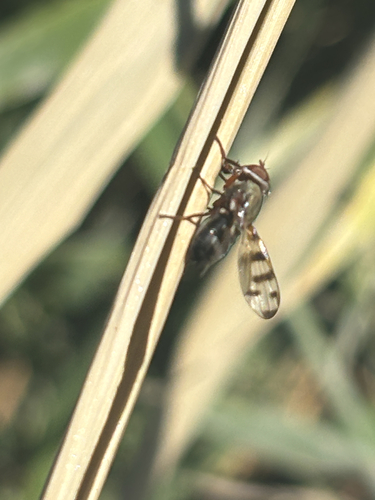
Research-grade observations from iNaturalist (within ~15 mi).
Nearest stream gauge
Events
Gallery
Sources
- • Wikipedia
- • US Census Bureau (ACS 5-year estimates)
- • NOAA National Weather Service
- • Wikidata
- • NCES via Urban Institute Education Data Portal
- • iNaturalist
- • CDC PLACES
- • Open-Meteo / sunrise-sunset.org
- • Wikipedia Pageviews API
- • Open Library
- • NASA EONET