Browse / United States / Utah / Mount Pleasant
Mount Pleasant
Utahcity

Mount Pleasant
Total population
3,805
Median home value
$315,600
Bachelor's+
Median income
$68,920
Founded
1852
Air quality index
Demographic figures from US Census Bureau · ACS 5-year estimates. Overview below cites Wikipedia and may reference a different year.
City facts
Facts from Wikidata (CC0).
Overview
Mount Pleasant is a city in the U.S. state of Utah. Located in Sanpete County, Mt. Pleasant is known for being home to Wasatch Academy. As of the 2020 census, the city's population was 3,655.
Read more on WikipediaHistory & geography
History
In the spring of 1852, Latter-Day Saint colonists from Manti led by Madison D. Hambleton established the Hambleton Settlement near the present site of Mt. Pleasant. During the Wakara War, the settlers relocated to Spring Town (Spring City), and later to Manti for protection. Local Native Americans destroyed the old settlement by setting it on fire. A large colonizing party from Ephraim and Manti returned to the area in 1859, and a permanent site was laid out in its present location. Among the founding settlers were Latter-Day Saint converts from Scandinavia, the United Kingdom, and the eastern United States. By 1880, Mt. Pleasant was the county's largest city, with a population of 2,000. More than 72 percent of its married adults were foreign-born. This ethnic diversity had an important impact on village life during the nineteenth and early twentieth centuries. For decades, five languages were commonly spoken in the town. The settlement and development of Mt. Pleasant followed the typical pattern for Latter-Day Saint towns of the period. A square-shaped town site was surveyed, lots were drawn, and the land was distributed among the population. Under the direction of James Russell Ivie (1802–1866), a fort of adobe walls and log cabins was built. Pleasant Creek ran through the fort, and farming was done outside of its walls. Ivie was killed in the Ute Black Hawk War by Indians who had declined to participate in the settlement of the earlier Wakara War. Around that time, the town acquired its present name. In 1872 the final peace treaty with the Indians was signed in Bishop Seeley's house on Main Street, bringing an end to this conflict. By this time, many settlers had erected homesteads outside of the fort. The town site may be expansive, but the population density…
Geography
According to the United States Census Bureau, the city has a total area of 2.8 square miles (7.3 km2). This climatic region is typified by large seasonal temperature differences, with warm, dry summers and cold (sometimes severely cold) winters. According to the Köppen Climate Classification system, Mount Pleasant has a warm summer continental climate, abbreviated "DFB" on climate maps.
Excerpted from the corresponding Wikipedia article (CC BY-SA).
Demographics & economy
Race & ethnicity
Source: US Census Bureau — American Community Survey, 5-year estimates.
Geography
Coordinates & boundaries from the US Census TIGER/Line shapefiles.
Climate
Current forecast
Forecast for Mount Pleasant, UT from NOAA NWS API.
Air quality
Current readings from Open-Meteo Air Quality API (Copernicus CAMS European reanalysis).
Industrial & pollution facilities
Natural hazard risk
Health (adults)
Age-adjusted prevalence estimates from CDC PLACES (latest release).
Walkability
Amenities nearby
Wildlife & biodiversity
Schools
Largest nearby schools
- North Sanpete HighHigh · MT PLEASANT · 765 students · 23.9:1 ratio
- Mt. Pleasant SchoolElementary · MT PLEASANT · 558 students · 25.4:1 ratio
- North Sanpete MiddleMiddle · MORONI · 423 students · 22.3:1 ratio
- Moroni SchoolElementary · MORONI · 370 students · 24.7:1 ratio
- Fairview SchoolElementary · FAIRVIEW · 244 students · 16.3:1 ratio
- Pleasant Creek High SchoolOther · MOUNT PLEASANT · 112 students · 16:1 ratio
- Spring City SchoolElementary · SPRING CITY · 106 students · 15.1:1 ratio
Public K–12 schools within ~10 mi from Urban Institute Education Data Portal (NCES Common Core of Data, 2022).
Earthquake history
Most recent
- M 2.69 — 2026-09-2715 km E of Kenilworth, Utah
- M 2.81 — 2026-02-227 km SW of Clear Creek, Utah
- M 2.54 — 2026-01-0627 km W of Emery, Utah
- M 2.75 — 2025-10-086 km WNW of Independence, Utah
- M 3.05 — 2025-05-249 km NNE of Scipio, Utah
- M 3.94 — 2025-05-014 km WNW of Independence, Utah
Events from the USGS Earthquake Catalog (global) (FDSN Event Web Service).
Photos
Sights & places nearby
Notable people from here
Nearby places in Utah
- Moroni6.8 mi away · pop. 1,535
- Fountain Green11.6 mi away · pop. 1,521
- Ephraim14.5 mi away · pop. 5,949
- Clear Creek17.5 mi away
- Nephi23.1 mi away · pop. 6,885
- Huntington30.1 mi away · pop. 1,965
- Helper33.4 mi away · pop. 2,698
- Carbonville33.7 mi away · pop. 1,636
- Clawson34.1 mi away · pop. 197
- Woodland Hills34.3 mi away · pop. 1,559
- Cleveland34.7 mi away · pop. 378
- Santaquin34.7 mi away · pop. 16,436
Geography & sun
Elevation, sunrise/sunset and daylight from Open-Meteo. Solar climatology from NASA POWER.
Nearby airports
Public attention
Pageview totals from the Wikimedia Pageviews API.
Books about Mount Pleasant


Search results from Open Library.
Recent natural events nearby
- Wildfire Black Canyon, Sanpete, UtahWildfires · 2026-07-30 · 13 mi
- Wildfire Tom Creek, Tooele, UtahWildfires · 2026-08-24 · 74 mi
- Wildfire Slough Canyon, Grand, UtahWildfires · 2026-08-15 · 83 mi
- Wildfire Rocky Canyon, Morgan, UtahWildfires · 2026-08-07 · 97 mi
- Wildfire Brushy Canyon, Box Elder, UtahWildfires · 2026-08-27 · 132 mi
- Prescribed Fire Bear River MBR Unit 2c RX, Box Elder, UtahWildfires · 2026-09-18 · 141 mi
- Wildfire Johnson Canyon, Box Elder, UtahWildfires · 2026-08-01 · 167 mi
- Wildfire Salt Wells, Box Elder, UtahWildfires · 2026-08-21 · 169 mi
Wildfires, storms and other events from NASA EONET (last 12 months, within 250 mi).
Ground air-quality sensors
Recently spotted species
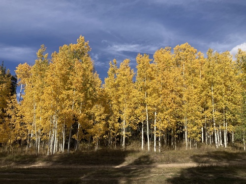
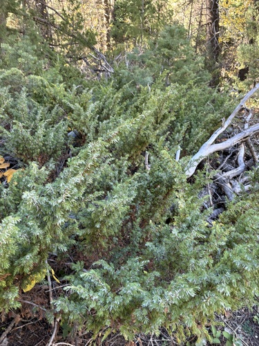
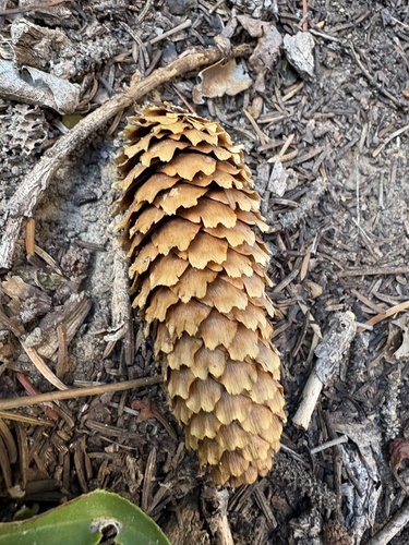
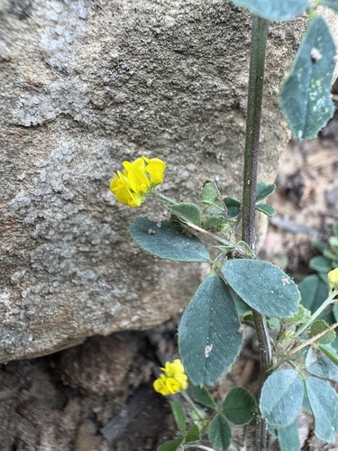
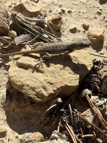
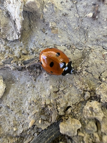
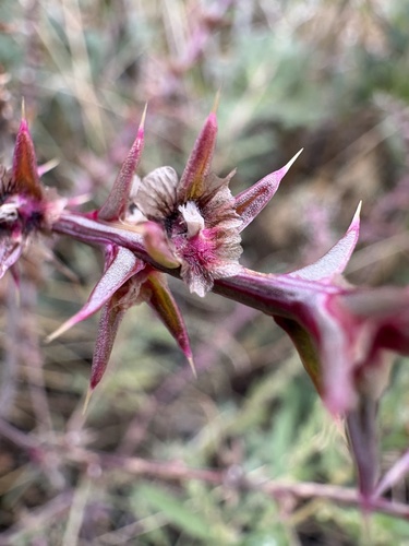
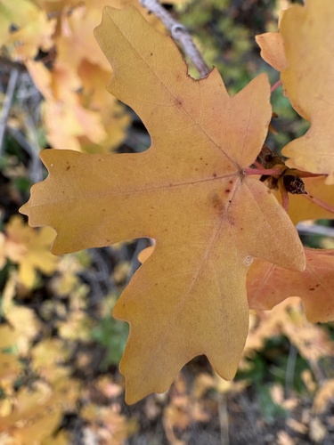
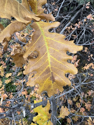
Research-grade observations from iNaturalist (within ~15 mi).
Nearest stream gauge
Events
Gallery
Sources
- • Wikipedia
- • US Census Bureau (ACS 5-year estimates)
- • NOAA National Weather Service
- • Wikidata
- • Open-Meteo Air Quality (CAMS)
- • USGS Earthquake Catalog (global feed)
- • NCES via Urban Institute Education Data Portal
- • iNaturalist
- • CDC PLACES
- • Open-Meteo / sunrise-sunset.org
- • Wikipedia Pageviews API
- • Open Library
- • NASA EONET