Browse / Uruguay / Tacuarembó / Tacuarembó
Tacuarembó
Tacuarembócity

Tacuarembó
Total population
60,581
Founded
1832
Demographic figures from INE Uruguay. Overview below cites Wikipedia and may reference a different year.
City facts
Sister cities
Facts from Wikidata (CC0).
Overview
Tacuarembó is the capital city of the Tacuarembó Department in north-central Uruguay.
Read more on WikipediaHistory & geography
History
On 24 October 1831, a presidential decree by Fructuoso Rivera ordered the creation of a city in the region. The task was entrusted to the President's brother, Colonel Bernabé Rivera. Colonel Rivera left Montevideo on a three-month journey with a caravan of wagons and families, towards the shore of the Tacuaremboty River, which in the Guaraní language means "river of the reeds". The area was surveyed and divided into blocks for settlement. On January 21, 1832, Coronel Rivera founded the town under the name "San Fructuoso", after Saint Fructuosus of Tarragona (whose Saint's Day is January 21) and after his (Benjamin's) brother. By 1837, San Fructuoso was a growing town. It had more than 500 residents, a justice of the peace, a military commander, a parish priest, a mayor, and a Public Works Commission. On 16 June 1837, the Tacuarembó Department was created (along with Salto and Paysandú), and San Fructuoso was named the capital. Over time, the community continued to grow. According to the Act of Ley Nº 2.389, on 17 July 1895 it held the status of "Villa" (town). Its name changed to "Tacuarembó", and on 24 June 1912, its status was elevated to "Ciudad" (city) by the Act of Ley Nº 4.031. This event celebrates gaucho culture in Uruguay and attracts thousands of visitors from both Uruguay and neighboring countries.
Geography
The city is located on Km. 390 of Route 5, south-southwest of Rivera, the capital city of the Rivera Department. Routes 26 and 31 also meet Route 5 within the city limits. The stream Arroyo Tacuarembó Chico, a tributary of Río Tacuarembó, flows through the north part of the city. As of the census of 2011, it is the eighth most populated city of the country. Tacuarembó has a humid subtropical climate, described by the Köppen climate classification as Cfa. Summers are warm to hot and winters are cool, with frequent frosts and fog. The precipitation is evenly distributed throughout the year, with an average of 1,165 mm (45.87 in), and the annual average temperature is 18 °C (64.4 °F).
Excerpted from the corresponding Wikipedia article (CC BY-SA).
Geography
Coordinates & boundaries from the US Census TIGER/Line shapefiles.
Climate
Air quality
Walkability
Amenities nearby
Wildlife & biodiversity
Most-observed species
- Rufous HorneroFurnarius rufus (Gmelin, 1788) · Aves147
- Rufous-collared SparrowZonotrichia capensis (P.L.S.Müller, 1776) · Aves129
- Great KiskadeePitangus sulphuratus (Linnaeus, 1766) · Aves128
- Buff-necked IbisTheristicus caudatus (Boddaert, 1783) · Aves126
- Picazuro PigeonPatagioenas picazuro (Temminck, 1813) · Aves111
- Turkey VultureCathartes aura (Linnaeus, 1758) · Aves109
- Eared DoveZenaida auriculata (Des Murs, 1847) · Aves96
- Southern LapwingVanellus chilensis (Molina, 1782) · Aves95
Citizen-science & research observations from the Global Biodiversity Information Facility (GBIF).
Earthquake history
Events from the USGS Earthquake Catalog (global) (FDSN Event Web Service).
Photos
Sights & places nearby
Notable people from here
People born within ~10 km, from Wikidata (CC0). Click any name for their Wikipedia article.
Nearby places in Tacuarembó
- Paso del Cerro18.2 mi away · pop. 269
- Tambores19.2 mi away · pop. 1,448
- Cuchilla de Peralta58.4 mi away · pop. 224
- San Gregorio de Polanco63.2 mi away · pop. 3,899
- Las Toscas de Caraguatá65.6 mi away · pop. 1,200
- Colhe Bicho3885.4 mi away
- Pedra Ferro3887.1 mi away
- Shamwana5570.2 mi away
- Kalemie5719.9 mi away · pop. 355,126
- Ballyporeen6482.2 mi away
- Clogheen6485.4 mi away
- Lisvarrinane6486.4 mi away
Geography & sun
Elevation, sunrise/sunset and daylight from Open-Meteo. Solar climatology from NASA POWER.
Nearby airports
Public attention
Pageview totals from the Wikimedia Pageviews API.
Books about Tacuarembó

Search results from Open Library.
Recent natural events nearby
Ground air-quality sensors
Recently spotted species
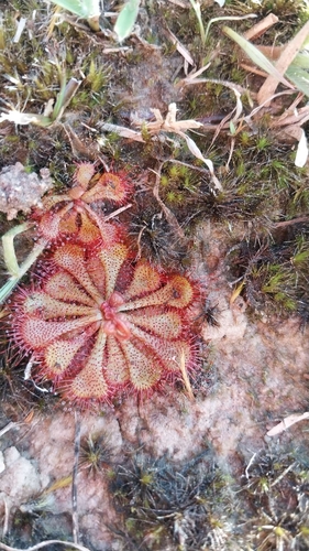
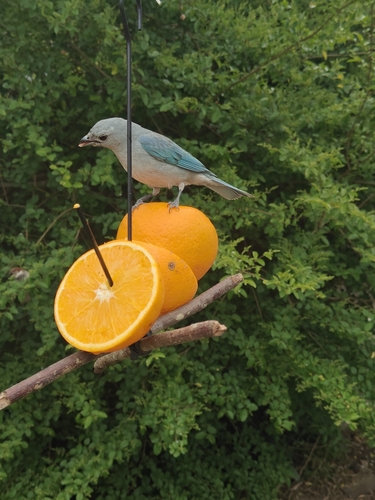
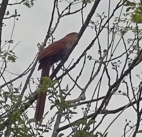

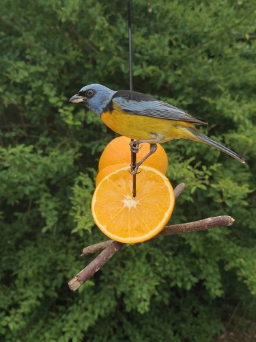
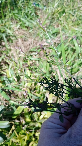
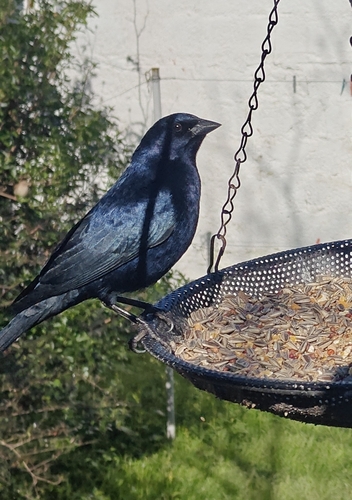
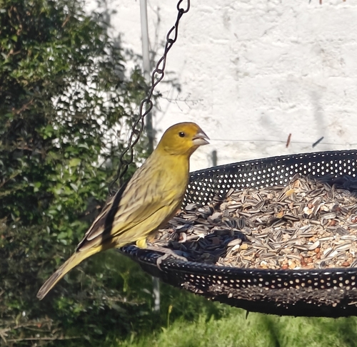
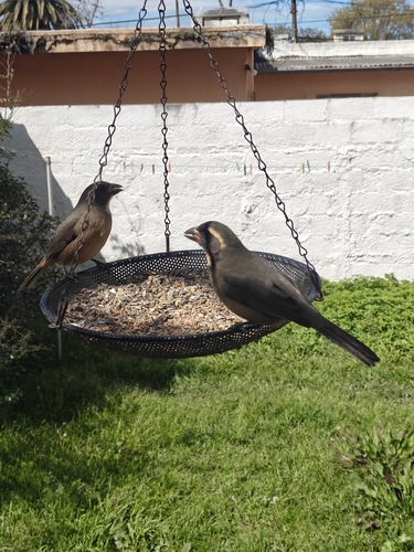
Research-grade observations from iNaturalist (within ~15 mi).
Events
Gallery
Sources
- • Wikipedia
- • Wikidata
- • USGS Earthquake Catalog (global feed)
- • GBIF (Global Biodiversity Information Facility)
- • iNaturalist
- • Open-Elevation
- • Open-Meteo / sunrise-sunset.org
- • Wikipedia Pageviews API
- • Open Library
- • Wikidata SPARQL (CC0) — population, area, elevation, inception, head of government, Commons image