Browse / Vietnam / Kiên Giang / Phú Quốc Special Administrative Region
Phú Quốc Special Administrative Region
Kiên Giangcity

Phú Quốc Special Administrative Region
Total population
157,629
Air quality index
Demographic figures from General Statistics Office of Vietnam. Overview below cites Wikipedia and may reference a different year.
City facts
Facts from Wikidata (CC0).
Overview
Phú Quốc is a special zone in An Giang province, Vietnam. It is the largest island in Vietnam. The island has a total area of 575 km2 (222 sq mi) and a permanent population of approximately 179,480 people in 2020.
Read more on WikipediaHistory & geography
History
The earliest Cambodian references to Phú Quốc are found in royal documents dated 1615, however historians have found limited evidence of sustained Khmer presence or of formal Cambodian state authority over the island. Around 1680, Phú Quốc was part of the Principality of Hà Tiên, a maritime polity founded by Chinese merchant and explorer Mạc Cửu under the patronage of the Cambodian king. Mạc Cửu later switched allegiance to the Nguyễn lords and recognized the authority of the Vietnamese sovereign. He sent a tribute mission to the Nguyễn court in 1708, and in return received the title of Tong Binh of Hà Tiên and the noble title Marquess Cửu Ngọc (). Mạc Cửu died in 1736, and his son Mạc Thiên Tứ (Mo Shilin) succeeded him. The Cambodian army attempted to liberate Hà Tiên in 1739 but was defeated. From then on, Cambodia did not try to retake Hà Tiên; it enjoyed full independence from Cambodia thereafter. Mạc Thiên Tứ's reign saw the golden age of Hà Tiên. In 1758, Hà Tiên established Outey II as puppet king of Cambodia. After the war of the second fall of Ayutthaya, Mạc Thiên Tứ tried to install Prince Chao Chui (, Chiêu Thúy in Vietnamese) as the new Siamese king, but was defeated by Taksin. The French missionary Pigneau de Behaine used the island as a base during the 1760s and 1780s to shelter Nguyễn Ánh, who was hunted by the Tây Sơn army. Descriptions of this mission make reference to the local Vietnamese population of the island but not the Khmer.}} Western records in 1856 again mentioned the island: "... King Ang Duong (of Cambodia) apprize Mr. de Montigny, French envoy in visit to Bangkok, through the intermediary of Bishop Miche, his intention to yield Phú Quốc to France." Such a proposition aimed to create a military alliance with France to avoid the threat…
Geography
Phú Quốc lies south of the Cambodian coast, south of Kampot, and west of Hà Tiên, the nearest coastal town in Vietnam. Roughly triangular in shape the island is long from north to south and from east to west at its widest. It is also located from Kampot, from Rạch Giá and nearly from Laem Chabang, Thailand. A mountainous ridge known as "99 Peaks" runs the length of Phú Quốc, with Chúa Mountain being the tallest at . Phú Quốc Island is mainly composed of sedimentary rocks from the Mesozoic and Cenozoic age, including heterogeneous conglomerate composition, layering thick, quartz pebbles, silica, limestone, rhyolite and felsite. The Mesozoic rocks are classified in Phú Quốc Formation (K pq). The Cenozoic sediments are classified in formations of Long Toàn (middle - upper Pleistocene), Long Mỹ (upper Pleistocene), Hậu Giang (lower - middle Holocene), upper Holocene sediments, and undivided Quaternary (Q). The special administrative region of Phú Quốc is officially divided into eight commune-level sub-divisions, including two urban wards (Dương Đông, An Thới) and seven rural communes (Bãi Thơm, Cửa Cạn, Cửa Dương, Dương Tơ, Gành Dầu, Hàm Ninh).
Excerpted from the corresponding Wikipedia article (CC BY-SA).
Geography
Coordinates & boundaries from the US Census TIGER/Line shapefiles.
Climate
10-year averages from ERA5 reanalysis (Open-Meteo).
Air quality
Current readings from Open-Meteo Air Quality API (Copernicus CAMS European reanalysis).
Walkability
Amenities nearby
Wildlife & biodiversity
Most-observed species
- Common MynaAcridotheres tristis (Linnaeus, 1766) · Aves109
- Yellow-vented BulbulPycnonotus goiavier (Scopoli, 1786) · Aves84
- Zebra DoveGeopelia striata (Linnaeus, 1766) · Aves82
- Stripe-throated BulbulPycnonotus finlaysoni Strickland, 1844 · Aves75
- White-nest SwiftletAerodramus fuciphagus (Thunberg, 1812) · Aves74
- Brahminy KiteHaliastur indus (Boddaert, 1783) · Aves68
- Brown ShrikeLanius cristatus Linnaeus, 1758 · Aves59
- Greater CoucalCentropus sinensis (Stephens, 1815) · Aves59
Citizen-science & research observations from the Global Biodiversity Information Facility (GBIF).
Earthquake history
Events from the USGS Earthquake Catalog (global) (FDSN Event Web Service).
Photos
Sights & places nearby
Notable people from here

People born within ~10 km, from Wikidata (CC0). Click any name for their Wikipedia article.
Nearby places in Kiên Giang
- Kut Bak475 mi away
- Wonsong-ri2330.6 mi away
- Deokgok-myeon2330.7 mi away
- Maesu-ri2337.9 mi away
- Gumi2352.2 mi away · pop. 421,799
- Songbaek-ri2352.3 mi away
- Sangdae-ri2354.4 mi away
- Gyeongsan2354.6 mi away · pop. 257,592
- Jogok-ri2354.6 mi away
- Ban-gok-ri2354.9 mi away
- Heungjeong-ri2355 mi away
- Yeonha-ri2355.1 mi away
Geography & sun
Elevation, sunrise/sunset and daylight from Open-Meteo. Solar climatology from NASA POWER.
Nearby airports
Public attention
Pageview totals from the Wikimedia Pageviews API.
Books about this place
Recent natural events nearby
Ground air-quality sensors
Recently spotted species
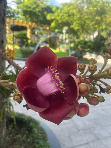
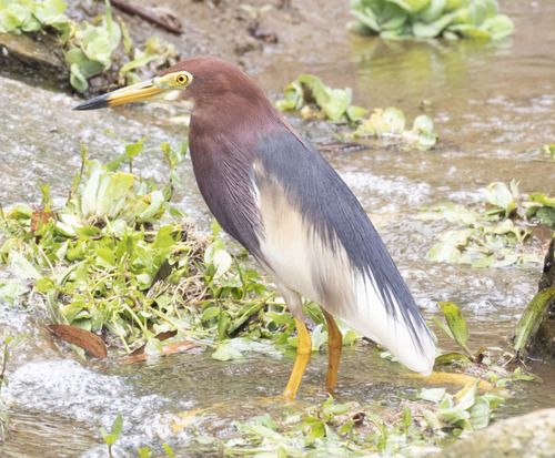
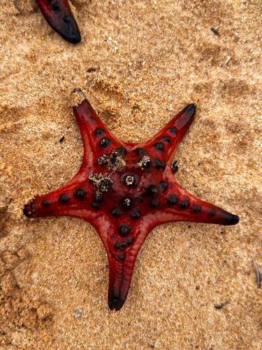
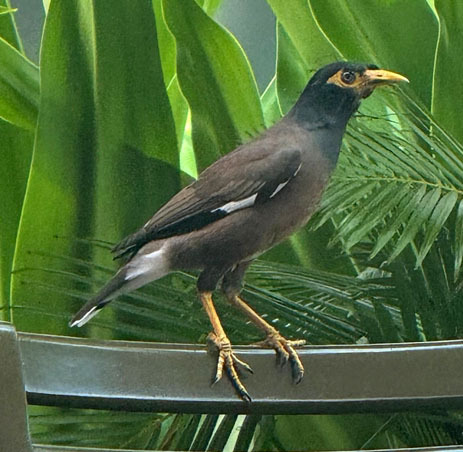
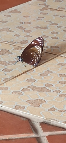
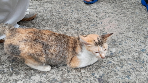
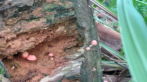
Research-grade observations from iNaturalist (within ~15 mi).
Events
Gallery
Sources
- • Wikipedia
- • Open-Meteo (ERA5 reanalysis)
- • Wikidata
- • Open-Meteo Air Quality (CAMS)
- • USGS Earthquake Catalog (global feed)
- • GBIF (Global Biodiversity Information Facility)
- • iNaturalist
- • Open-Meteo / sunrise-sunset.org
- • Wikipedia Pageviews API