Browse / United States / Vermont / Northfield
Northfield
VermontCDP

Northfield
Total population
3,766
Median home value
$241,400
Bachelor's+
Median income
$60,789
Founded
1781
Demographic figures from US Census Bureau · ACS 5-year estimates. Overview below cites Wikipedia and may reference a different year.
City facts
Facts from Wikidata (CC0).
Overview
Northfield is a town in Washington County, Vermont, United States. The town lies in a valley within the Green Mountains and has been home to Norwich University since 1866. It contains the village of Northfield, where over half of the population lives. The town's total population was 5,918 at the 2020 census.
Read more on WikipediaHistory & geography
History
Northfield was chartered in 1781. Northfield, was settled between 1785 and the 1820s by Yankees from Connecticut, Massachusetts, and older Vermont towns. The period saw the development of four distinct villages: South Village, Center Village, Factory Village, and Northfield Falls. South Village, with numerous small businesses, became the first to have a distinct identity. Center Village followed, where the first post office, town clerk’s office, and churches were established, coming to serve as Northfield's social and political center. Factory Village (now the village of Northfield), named for the woolen mill, developed next. Lastly, Northfield Falls thrived by the late 1820s. Initially centered around farming and barter, Northfield's economic activities diversified. Potash production thrived until about 1814, after which Elijah Paine's woolen mill became a major employer. Wool prices declined in the 1840s, but Charles Paine, Elijah Paine's son and president of the Vermont Central Railroad constructed the railroad through town and established its headquarters in Northfield. Hundreds worked for the line. In 1852, the railroad changed ownership and gradually moved to St. Albans, causing the town's population to decline. In 1889, the first granite shed was built. More were constructed, and by the outbreak of World War I, over 525 people were employed in the granite sheds. Later, the granite industry faced challenges, leading to closures, and by 1954, only the Rock of Ages plant was left. The last plant, Cetrangolo Finishing Works, was closed in 1999.
Geography
According to the United States Census Bureau, the town has a total area of , of which is land and , or 0.29%, is water. The geographic center of Vermont is located within the town, with markers on the university campus of the geographical and magnetic centers. Northfield has a humid continental climate (Köppen Dfb).
Excerpted from the corresponding Wikipedia article (CC BY-SA).
Demographics & economy
Race & ethnicity
Source: US Census Bureau — American Community Survey, 5-year estimates.
Geography
Coordinates & boundaries from the US Census TIGER/Line shapefiles.
Climate
Current forecast
Forecast for Northfield, VT from NOAA NWS API.
Air quality
Industrial & pollution facilities
Natural hazard risk
Health (adults)
Age-adjusted prevalence estimates from CDC PLACES (latest release).
Walkability
Amenities nearby
Wildlife & biodiversity
Most-observed species
- Black-capped ChickadeePoecile atricapillus (Linnaeus, 1766) · Aves13,209
- American CrowCorvus brachyrhynchos C.L.Brehm, 1822 · Aves11,004
- Blue JayCyanocitta cristata (Linnaeus, 1758) · Aves10,172
- American RobinTurdus migratorius Linnaeus, 1766 · Aves8,616
- American GoldfinchSpinus tristis (Linnaeus, 1758) · Aves7,836
- Song SparrowMelospiza melodia (A.Wilson, 1810) · Aves7,584
- Northern CardinalCardinalis cardinalis (Linnaeus, 1758) · Aves5,935
- Mourning DoveZenaida macroura (Linnaeus, 1758) · Aves4,934
Citizen-science & research observations from the Global Biodiversity Information Facility (GBIF).
Schools
Largest nearby schools
- Barre Town Elementary & Middle SchoolElementary · Barre · 800 students · 11.9:1 ratio
- Barre City Elementary/Middle SchoolElementary · Barre · 784 students · 10.7:1 ratio
- U-32 Middle & High SchoolHigh · Montpelier · 707 students · 11.4:1 ratio
- Spaulding Union High SchoolHigh · Barre · 615 students · 11:1 ratio
- Harwood Union Middle/High SchoolHigh · Moretown · 556 students · 9.3:1 ratio
- Union Elementary SchoolElementary · Montpelier · 448 students · 12.1:1 ratio
- Montpelier High SchoolHigh · Montpelier · 403 students · 11.5:1 ratio
- Main Street Middle SchoolMiddle · Montpelier · 327 students · 10.2:1 ratio
Public K–12 schools within ~10 mi from Urban Institute Education Data Portal (NCES Common Core of Data, 2022).
Earthquake history
Most recent
- M 2.6 — 2024-06-183 km SE of Haverhill, New Hampshire
- M 2.51 — 2011-07-084 km NE of Newbury, Vermont
- M 2.5 — 2011-01-036 km NNE of Holderness, New Hampshire
- M 2.83 — 2007-05-145 km ESE of Benson, Vermont
- M 2.64 — 2007-03-213 km NNE of Holderness, New Hampshire
- M 2.85 — 2006-10-1010 km ENE of Ticonderoga, New York
Events from the USGS Earthquake Catalog (global) (FDSN Event Web Service).
Photos
Sights & places nearby
Notable people from here


People born within ~10 km, from Wikidata (CC0). Click any name for their Wikipedia article.
Nearby places in Vermont
- Williamstown5.6 mi away · pop. 1,508
- South Barre7.7 mi away · pop. 1,362
- Barre8.2 mi away · pop. 8,488
- Graniteville8.7 mi away · pop. 244
- Websterville8.9 mi away · pop. 249
- Waitsfield9.2 mi away · pop. 228
- Montpelier9.3 mi away · pop. 8,030
- East Barre10.3 mi away · pop. 1,136
- East Montpelier11.7 mi away · pop. 63
- Waterbury13.9 mi away · pop. 1,686
- Plainfield14.5 mi away · pop. 430
- Chelsea14.8 mi away · pop. 486
Geography & sun
Elevation, sunrise/sunset and daylight from Open-Meteo. Solar climatology from NASA POWER.
Nearby airports
Public attention
Pageview totals from the Wikimedia Pageviews API.
Books about Northfield


Search results from Open Library.
Recent natural events nearby
Ground air-quality sensors
Recently spotted species
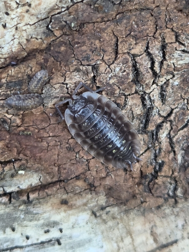
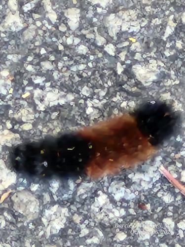
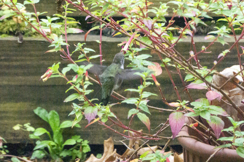
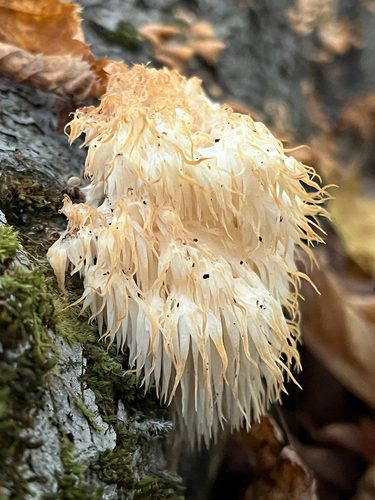
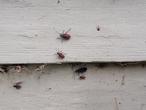
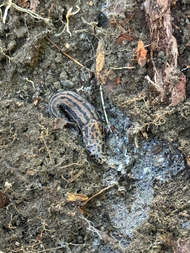
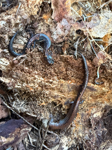
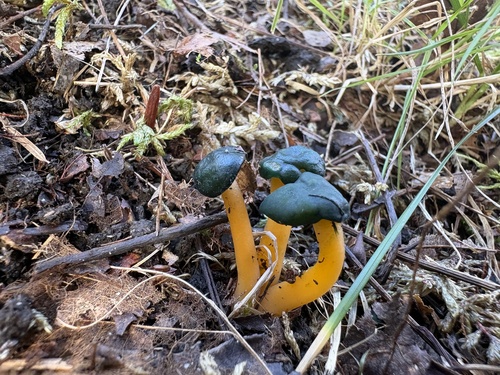
Research-grade observations from iNaturalist (within ~15 mi).
Nearest stream gauge
Live readings from USGS NWIS · measured 2026-06-03 11:30 UTC.
Events
Gallery
Sources
- • Wikipedia
- • US Census Bureau (ACS 5-year estimates)
- • NOAA National Weather Service
- • Wikidata
- • USGS Earthquake Catalog (global feed)
- • USGS NWIS (water data)
- • NCES via Urban Institute Education Data Portal
- • GBIF (Global Biodiversity Information Facility)
- • iNaturalist
- • CDC PLACES
- • Open-Meteo / sunrise-sunset.org
- • Wikipedia Pageviews API
- • Open Library
- • Wikidata SPARQL (CC0) — population, area, elevation, inception, head of government, Commons image