Browse / United States / Washington / Moclips
Moclips
WashingtonCDP

Moclips
Total population
82
Median home value
$0
Bachelor's+
Median income
$0
Demographic figures from US Census Bureau · ACS 5-year estimates. Overview below cites Wikipedia and may reference a different year.
City facts
Facts from Wikidata (CC0).
Overview
Moclips is an unincorporated community and census-designated place (CDP) in Grays Harbor County, Washington, United States. The population was 211 at the 2020 census. It is located near the mouth of the Moclips River.
Read more on WikipediaHistory & geography
History
Although settled earlier by homesteaders such as Steve Grover in 1862, Moclips was not incorporated until 1905 with the completion of the Northern Pacific Railway and the first Moclips Beach Hotel built by Dr. Edward Lycan. The hotel was a two-story, 150-room beachside resort. It burned down in 1905, just months after it was completed. Dr. Lycan then had a new, larger hotel built on the same site. It was three stories high, a block long, and loomed from the dunes. This Moclips Beach Hotel was completed in 1907 and advertised as having 270 "outside" rooms, with of covered veranda, and a perfect view of the Pacific Ocean, reported to be just from the hotel grounds. Moclips grew into a sizable town with restaurants, hotels, a candy store, theater, canneries, and the M.R. Smith Lumber and Shingle Mill. Many hotels, schools, canneries and shingle mills were quickly built. Four schools once taught children from Taholah to Ocean Shores. Class schedules for the local schools were based on the clamming tides. Two of these buildings exist today. In 1911 Moclips was struck by a series of fatal storms, eventually washing much of the town away. The Moclips Beach Hotel stood in pieces. By the end of 1913, there was nothing left of the hotel. Fires destroyed much of Moclips along the beach. In 1948 a hilltop welding accident destroyed many homes and businesses. The U.S. Navy and Air Force made the neighboring town of Pacific Beach their home during World War II. The Navy still occupies property along the bluff in Pacific Beach - now a recreational use center for the military.
Geography
Moclips is located in western Grays County, around 5 miles south of the major headland Point Grenville, called Point Haynisisoos by the local Quinault. The CDP includes the community of Moclips, plus the residential area of Sunset Beach. The CDP is bordered to the south by Pacific Beach, to the north by the Quinault Indian Reservation, and to the west by the Pacific Ocean. Washington State Route 109 passes through Moclips, leading north along the Pacific coast to its terminus at Taholah and southeast to Hoquiam. According to the United States Census Bureau, the CDP has a total area of , of which are land and , or 1.48%, are water.
Excerpted from the corresponding Wikipedia article (CC BY-SA).
Demographics & economy
Race & ethnicity
Source: US Census Bureau — American Community Survey, 5-year estimates.
Geography
Coordinates & boundaries from the US Census TIGER/Line shapefiles.
Climate
Current forecast
Forecast for Moclips, WA from NOAA NWS API.
Air quality
Industrial & pollution facilities
Natural hazard risk
Health (adults)
Age-adjusted prevalence estimates from CDC PLACES (latest release).
Walkability
Amenities nearby
Wildlife & biodiversity
Most-observed species
- American CrowCorvus brachyrhynchos C.L.Brehm, 1822 · Aves923
- Western GullLarus occidentalis Audubon, 1839 · Aves523
- Bald EagleHaliaeetus leucocephalus (Linnaeus, 1766) · Aves477
- American RobinTurdus migratorius Linnaeus, 1766 · Aves444
- SanderlingCalidris alba (Pallas, 1764) · Aves434
- Song SparrowMelospiza melodia (A.Wilson, 1810) · Aves430
- Semipalmated PloverCharadrius semipalmatus Bonaparte, 1825 · Aves402
- Western SandpiperCalidris mauri (Cabanis, 1857) · Aves396
Citizen-science & research observations from the Global Biodiversity Information Facility (GBIF).
Schools
Earthquake history
Most recent
- M 2.65 — 2025-12-195 km WSW of Pe Ell, Washington
- M 2.84 — 2025-10-0921 km NW of Hoodsport, Washington
- M 2.84 — 2025-05-1325 km WNW of Hoodsport, Washington
- M 2.5 — 2025-03-2816 km NNE of Amanda Park, Washington
- M 2.74 — 2024-12-317 km NNW of Montesano, Washington
- M 2.65 — 2024-09-1215 km NNW of Amanda Park, Washington
Events from the USGS Earthquake Catalog (global) (FDSN Event Web Service).
Photos
Sights & places nearby
Notable people from here
Nearby places in Washington
Geography & sun
Elevation, sunrise/sunset and daylight from Open-Meteo. Solar climatology from NASA POWER.
Nearby airports
Public attention
Pageview totals from the Wikimedia Pageviews API.
Books about Moclips
Search results from Open Library.
Recent natural events nearby
- Wildfire KING, Kittitas, WashingtonWildfires · 2026-08-19 · 139 mi
- Wildfire GOAT, Kittitas, WashingtonWildfires · 2026-08-22 · 148 mi
- Wildfire Electric, Whatcom, WashingtonWildfires · 2026-08-22 · 161 mi
- Wildfire Thunder Creek, Skagit, WashingtonWildfires · 2026-08-22 · 173 mi
- Wildfire SISI, Chelan, WashingtonWildfires · 2026-08-14 · 174 mi
- Wildfire Austin Non-Stat, Clackamas, OregonWildfires · 2026-08-12 · 186 mi
- Wildfire AUSTIN, Clackamas, OregonWildfires · 2026-08-09 · 187 mi
- Wildfire Colwash, Yakima, WashingtonWildfires · 2026-08-22 · 203 mi
Wildfires, storms and other events from NASA EONET (last 12 months, within 250 mi).
Ground air-quality sensors
Recently spotted species
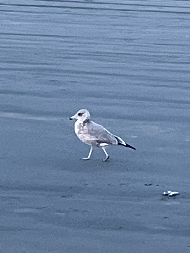
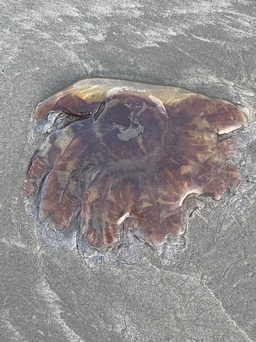
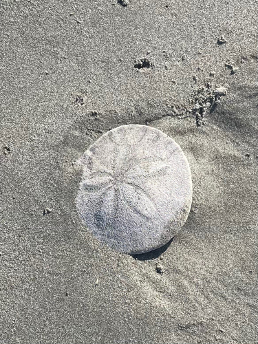
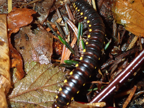
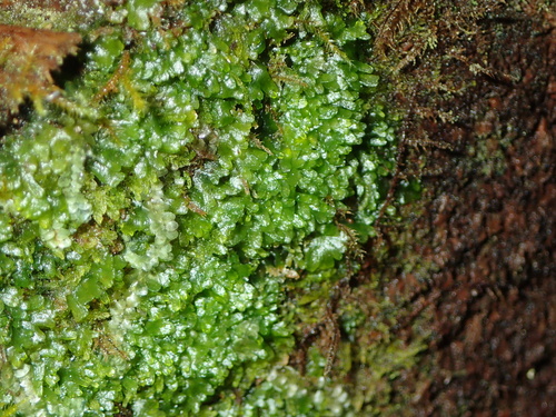
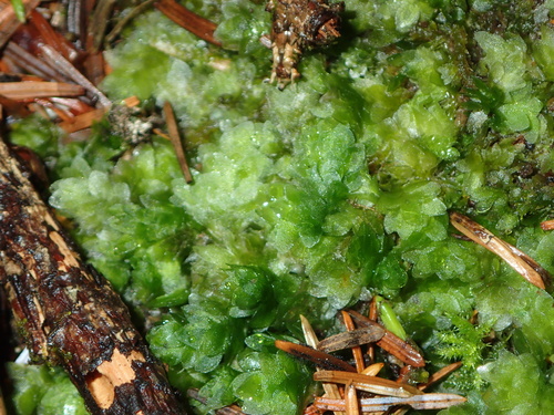
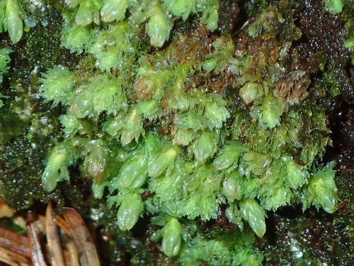
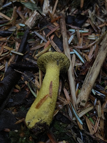
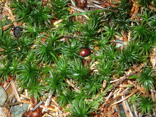
Research-grade observations from iNaturalist (within ~15 mi).
Nearest stream gauge
Live readings from USGS NWIS · measured 2026-09-17 22:15 UTC.
Events
Gallery
Sources
- • Wikipedia
- • US Census Bureau (ACS 5-year estimates)
- • NOAA National Weather Service
- • Wikidata
- • USGS Earthquake Catalog (global feed)
- • USGS NWIS (water data)
- • GBIF (Global Biodiversity Information Facility)
- • iNaturalist
- • CDC PLACES
- • Open-Elevation
- • Open-Meteo / sunrise-sunset.org
- • Wikipedia Pageviews API
- • Open Library
- • NASA EONET