Browse / United States / Wisconsin / Bayside
Bayside
Wisconsinvillage

Bayside
Total population
4,329
Median home value
$431,900
Bachelor's+
Median income
$160,096
Demographic figures from US Census Bureau · ACS 5-year estimates. Overview below cites Wikipedia and may reference a different year.
- Beach Hazards Statement · ModerateBeach Hazards Statement issued September 21 at 3:34AM CDT until September 23 at 7:00PM CDT by NWS Milwaukee/Sullivan WI
Source: NOAA National Weather Service.
City facts
Facts from Wikidata (CC0).
Overview
Bayside is a village in Milwaukee and Ozaukee counties in the U.S. state of Wisconsin. The population was 4,482 at the 2020 census. Of this, 4,378 were in Milwaukee County, and only 104 were in Ozaukee County.
Read more on WikipediaHistory & geography
History
The land that became Bayside was originally inhabited by Native Americans, who surrendered their land to the United States Federal Government in the 1830s. However, it is possible that the Potawatomi Chief Waubeka maintained a summer camp in Bayside and a winter camp in the Ozaukee County community that bears his name as late as 1845. In the 19th century, the community was part of the Town of Milwaukee, and most of the land was used for logging and then farming by the early Dutch-American settlers. In 1885, the Uihlein family, which owned the Joseph Schlitz Brewing Company, began purchasing land in Bayside, which became Nine Mile Farm, where the company bred draft horses for the brewery. The Uihlein family also kept chickens and cows on the property, and began reforesting the area around 1910. In 1969, the Schlitz Foundation considered getting rid of the land, which caused a debate in Bayside over whether it should become a public space or private developments. In 1971, the foundation donated the land to the National Audubon Society to create a nature center, which today is the 185-acre Schlitz Audubon Nature Center. In the 1890s and early 20th century, prominent Milwaukeeans, including Jacob Donges and Frederick Usinger, began to construct summer homes in the "Fairy Chasm" community near Lake Michigan. The Fish Creek Park Company, organized in 1892, was one group that built vacation homes in Ozaukee County portion of what would become Bayside. Bayside grew rapidly during the post-war suburbanization and economic prosperity. Many of the homes in the village were constructed between 1950 and 1980. The village incorporated on February 13, 1953, to prevent annexation by the City of Milwaukee, as happened to other communities in the county, including the Town of…
Geography
Bayside is located at (43.180275, -87.904735). According to the United States Census Bureau, the village has a total area of , all land. Lake Michigan borders the eastern edge of Bayside. Most of the village is in Milwaukee County, but a small portion at the end of Lake Drive bordering Fish Creek is in Ozaukee County.
Excerpted from the corresponding Wikipedia article (CC BY-SA).
Demographics & economy
Race & ethnicity
Source: US Census Bureau — American Community Survey, 5-year estimates.
Geography
Coordinates & boundaries from the US Census TIGER/Line shapefiles.
Climate
Current forecast
Forecast for Bayside, WI from NOAA NWS API.
Air quality
Industrial & pollution facilities
Natural hazard risk
Health (adults)
Age-adjusted prevalence estimates from CDC PLACES (latest release).
Walkability
Amenities nearby
Wildlife & biodiversity
Most-observed species
- Northern CardinalCardinalis cardinalis (Linnaeus, 1758) · Aves32,189
- American RobinTurdus migratorius Linnaeus, 1766 · Aves31,148
- Black-capped ChickadeePoecile atricapillus (Linnaeus, 1766) · Aves30,185
- American GoldfinchSpinus tristis (Linnaeus, 1758) · Aves27,524
- House SparrowPasser domesticus (Linnaeus, 1758) · Aves27,111
- Mourning DoveZenaida macroura (Linnaeus, 1758) · Aves23,878
- House FinchHaemorhous mexicanus (P.L.Statius Müller, 1776) · Aves22,974
- Downy WoodpeckerDryobates pubescens (Linnaeus, 1766) · Aves22,807
Citizen-science & research observations from the Global Biodiversity Information Facility (GBIF).
Schools
Largest nearby schools
- HAPA-Hmong American Peace Academy K3-12Other · Milwaukee · 1,828 students · 28.6:1 ratio
- Obama School of Career and Technical EducationOther · Milwaukee · 1,402 students · 29.8:1 ratio
- Milwaukee Academy of ScienceOther · Milwaukee · 1,401 students · 20.3:1 ratio
- King InternationalHigh · Milwaukee · 1,283 students · 17.8:1 ratio
- Riverside HighHigh · Milwaukee · 1,229 students · 13.8:1 ratio
- Golda Meir SchoolOther · Milwaukee · 1,174 students · 19.6:1 ratio
- Nicolet HighHigh · Glendale · 1,089 students · 13.3:1 ratio
- Milwaukee High School of the ArtsHigh · Milwaukee · 989 students · 15.5:1 ratio
Public K–12 schools within ~10 mi from Urban Institute Education Data Portal (NCES Common Core of Data, 2022).
Earthquake history
Events from the USGS Earthquake Catalog (global) (FDSN Event Web Service).
Photos
Sights & places nearby
Notable people from here


People born within ~10 km, from Wikidata (CC0). Click any name for their Wikipedia article.
Nearby places in Wisconsin
- Glendale4.1 mi away · pop. 13,656
- Whitefish Bay4.8 mi away
- Thiensville5.3 mi away
- Germantown11.8 mi away
- West Milwaukee12.3 mi away
- Jackson16.3 mi away · pop. 8,003
- Cudahy16.4 mi away · pop. 17,853
- Sussex16.7 mi away
- South Milwaukee18.8 mi away · pop. 20,795
- Waubeka20.4 mi away
- Slinger21.6 mi away
- Chenequa24.5 mi away
Geography & sun
Elevation, sunrise/sunset and daylight from Open-Meteo. Solar climatology from NASA POWER.
Nearby airports
Public attention
Pageview totals from the Wikimedia Pageviews API.
Books about Bayside

Search results from Open Library.
Recent natural events nearby
Ground air-quality sensors
Recently spotted species
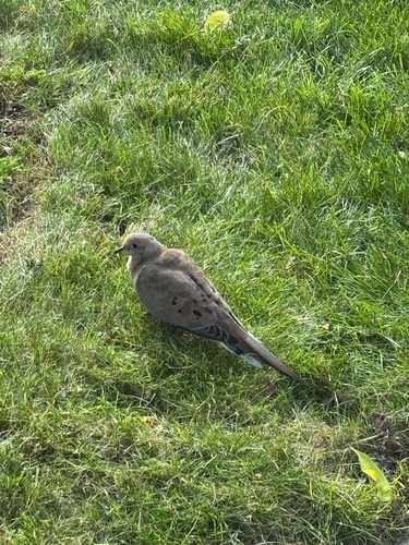
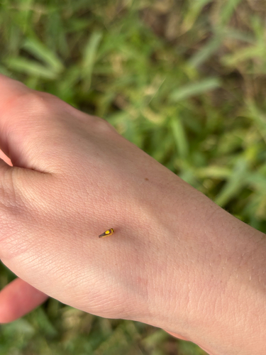
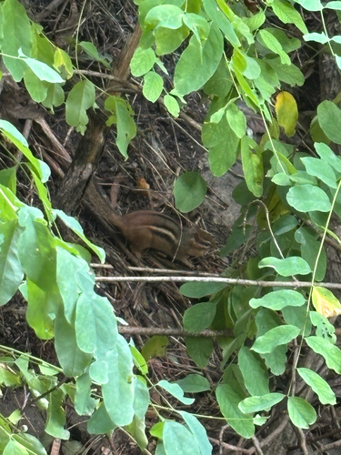
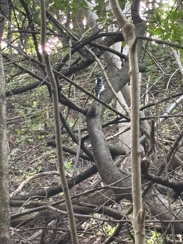
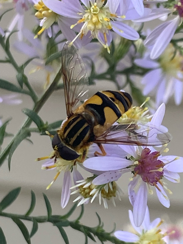
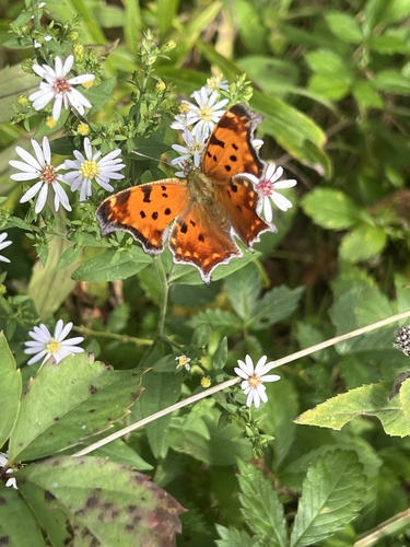
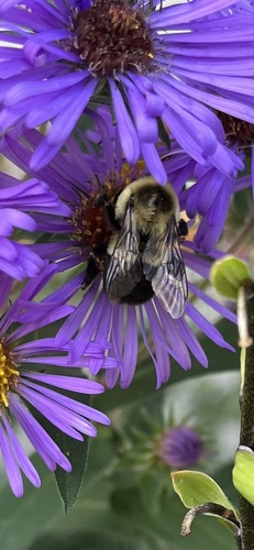
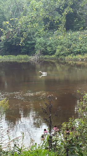
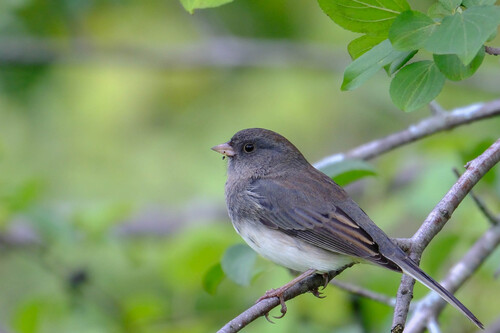
Research-grade observations from iNaturalist (within ~15 mi).
Nearest stream gauge
Events
Gallery
Sources
- • Wikipedia
- • US Census Bureau (ACS 5-year estimates)
- • NOAA National Weather Service
- • Wikidata
- • USGS Earthquake Catalog (global feed)
- • NCES via Urban Institute Education Data Portal
- • GBIF (Global Biodiversity Information Facility)
- • iNaturalist
- • CDC PLACES
- • Open-Meteo / sunrise-sunset.org
- • Wikipedia Pageviews API
- • Open Library