Browse / United States / Wisconsin / Cedarburg
Cedarburg
Wisconsincity

Cedarburg
Total population
12,605
Median home value
$422,000
Bachelor's+
Median income
$84,896
Founded
1843
Demographic figures from US Census Bureau · ACS 5-year estimates. Overview below cites Wikipedia and may reference a different year.
- Beach Hazards Statement · ModerateBeach Hazards Statement issued September 23 at 8:59AM CDT until September 24 at 1:00PM CDT by NWS Milwaukee/Sullivan WI
Source: NOAA National Weather Service.
City facts
Facts from Wikidata (CC0).
Overview
Cedarburg is a city in Ozaukee County, Wisconsin, United States. Located about 20 miles (32 km) north of Milwaukee and in close proximity to Interstate 43, it is a suburb in the Milwaukee metropolitan area. The city incorporated in 1885, and at the time of the 2020 census the population was 12,121.
Read more on WikipediaHistory & geography
History
The earliest evidence of humans in the Cedarburg area is the Hilgen Spring Mound Site, located in the eastern part of the city of Cedarburg, near Cedar Creek. The site consists of three conical burial mounds constructed by early Woodland period Mound Builders. In 1968, archaeologists from the Milwaukee Public Museum found human burials and artifacts, including stone altars, arrowheads, and pottery shards, during an excavation of one of the mounds. Radiocarbon samples from the excavation date the mounds' construction to approximately 480 BCE, making it one of the oldest mound groups in the state. In the early 19th century, the land was inhabited by Native Americans, including the Potawatomi and Sauk tribes. The Potawatomi surrendered the land to the United States Federal Government in 1833 through the 1833 Treaty of Chicago, which (after being ratified in 1835) required them to leave Wisconsin by 1838. While many Native people moved west of the Mississippi River to Kansas, some chose to remain, and were referred to as "strolling Potawatomi" in contemporary documents because many of them were migrants who subsisted by squatting on their ancestral lands which were now owned by white settlers. Eventually the Native people who evaded forced removal gathered in northern Wisconsin, where they formed the Forest County Potawatomi Community. The first white settlement in the Cedarburg area was a community called "New Dublin," which later became Hamilton in the town of Cedarburg. The first resident was Joseph Gardenier, who built a log shanty on Cedar Creek as his headquarters for surveying for the construction of the Green Bay Road. In 1848, Hamilton became the first stop on the stagecoach route between Milwaukee and Green Bay. In 1907, Cedarburg became a stop on the…
Geography
Cedarburg is located at 43°17'56" North, 87°59'13" West (43.29896, −87.987209). According to the United States Census Bureau, the city has a total area of , of which is land and is water. The City of Cedarburg is bordered by the Village of Grafton to the east, the City of Mequon to the south, and the Town of Cedarburg to the north and west. The city is located in the Southeastern Wisconsin glacial till plains that were created by the Wisconsin glaciation during the most recent ice age. The soil in area is a mixture of well-draining material, loess, and loam, which all overlie a layer of glacial till. Most of the City of Cedarburg is located on top of a Silurian limestone deposit. There were several quarries active in the area, including the now-defunct Groth Quarry in Zeunert Park where excavators discovered fossils from a prehistoric reef. The early settlers utilized the area's limestone as a building material, and some mid-19th-century limestone structures still stand today. Cedar Creek runs through the city parallel to the Washington Avenue historic and commercial district. In 1993, the Wisconsin Department of Natural Resources believed that Cedar Creek had the PCB contamination in the state. The creek is now part of an Environmental Protection Agency Superfund site in the city. Despite cleanup efforts, the Wisconsin DNR advises against eating any fish caught in the creek downstream from the Bridge Road dam. Before white settlers arrived in the area, the Cedarburg area was an upland forest dominated by American beech and sugar maple trees. There were also white cedars growing along Cedar Creek. Much of the original forest was cleared to prepare the land for agriculture. As land development continues to reduce wild areas, wildlife is forced into closer…
Excerpted from the corresponding Wikipedia article (CC BY-SA).
Demographics & economy
Race & ethnicity
Source: US Census Bureau — American Community Survey, 5-year estimates.
Geography
Coordinates & boundaries from the US Census TIGER/Line shapefiles.
Climate
Current forecast
Forecast for Cedarburg, WI from NOAA NWS API.
Air quality
Industrial & pollution facilities
Natural hazard risk
Health (adults)
Age-adjusted prevalence estimates from CDC PLACES (latest release).
Walkability
Amenities nearby
Wildlife & biodiversity
Most-observed species
- Northern CardinalCardinalis cardinalis (Linnaeus, 1758) · Aves23,292
- Black-capped ChickadeePoecile atricapillus (Linnaeus, 1766) · Aves22,826
- American RobinTurdus migratorius Linnaeus, 1766 · Aves21,072
- American GoldfinchSpinus tristis (Linnaeus, 1758) · Aves20,709
- American CrowCorvus brachyrhynchos C.L.Brehm, 1822 · Aves19,241
- Mourning DoveZenaida macroura (Linnaeus, 1758) · Aves19,166
- House FinchHaemorhous mexicanus (P.L.Statius Müller, 1776) · Aves16,733
- Downy WoodpeckerDryobates pubescens (Linnaeus, 1766) · Aves16,595
Citizen-science & research observations from the Global Biodiversity Information Facility (GBIF).
Schools
Largest nearby schools
- Homestead HighHigh · Mequon · 1,265 students · 17.3:1 ratio
- Cedarburg HighHigh · Cedarburg · 1,089 students · 16.5:1 ratio
- Port Washington HighHigh · Port Washington · 814 students · 16:1 ratio
- Thomas Jefferson MiddleMiddle · Port Washington · 717 students · 13:1 ratio
- Grafton HighHigh · Grafton · 715 students · 15.9:1 ratio
- Webster MiddleMiddle · Cedarburg · 645 students · 14.7:1 ratio
- Wilson ElementaryElementary · Mequon · 563 students · 14.8:1 ratio
- Thorson ElementaryElementary · Cedarburg · 548 students · 15.7:1 ratio
Public K–12 schools within ~10 mi from Urban Institute Education Data Portal (NCES Common Core of Data, 2022).
Earthquake history
Events from the USGS Earthquake Catalog (global) (FDSN Event Web Service).
Photos
Sights & places nearby
Notable people from here


People born within ~10 km, from Wikidata (CC0). Click any name for their Wikipedia article.
Nearby places in Wisconsin
Geography & sun
Elevation, sunrise/sunset and daylight from Open-Meteo. Solar climatology from NASA POWER.
Nearby airports
Public attention
Pageview totals from the Wikimedia Pageviews API.
Books about Cedarburg





Search results from Open Library.
Recent natural events nearby
Ground air-quality sensors
Recently spotted species
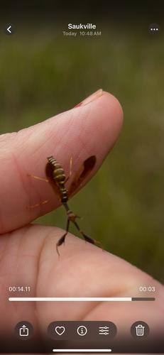
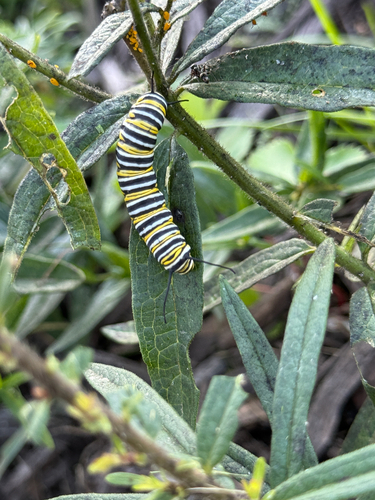
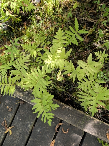
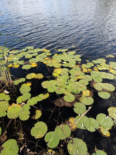
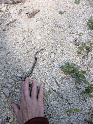
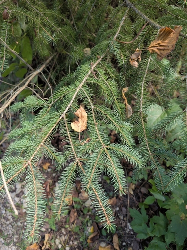
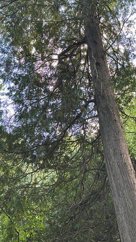
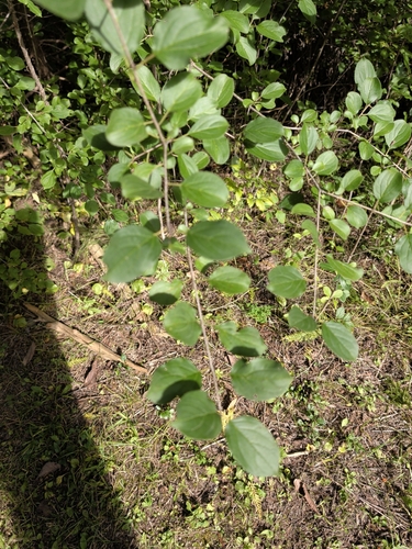
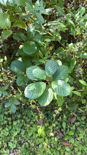
Research-grade observations from iNaturalist (within ~15 mi).
Nearest stream gauge
Events
Gallery
Sources
- • Wikipedia
- • US Census Bureau (ACS 5-year estimates)
- • NOAA National Weather Service
- • Wikidata
- • USGS Earthquake Catalog (global feed)
- • NCES via Urban Institute Education Data Portal
- • GBIF (Global Biodiversity Information Facility)
- • iNaturalist
- • CDC PLACES
- • Open-Meteo / sunrise-sunset.org
- • Wikipedia Pageviews API
- • Open Library