Browse / Zimbabwe / Harare / Harare
Harare
Hararecity

Harare
Total population
1,606,000
Founded
1890
Demographic figures from ZIMSTAT. Overview below cites Wikipedia and may reference a different year.
City facts
Facts from Wikidata (CC0).
Overview
Harare is the capital and largest city of Zimbabwe. The city proper has an area of 982.3 km2 (379.3 sq mi), a population of 1,849,600 as of the 2022 census, and an estimated 2,487,209 people in its metropolitan province. The city is situated in north-eastern Zimbabwe in the country's Mashonaland region. Harare Metropolitan Province incorporates the city and the municipalities of Chitungwiza, Epworth and Ruwa. The city sits on a plateau at an elevation of 1,483 metres above sea level, and its climate falls into the subtropical highland category.
Read more on WikipediaHistory & geography
History
The Pioneer Column, a military volunteer force of settlers organized by Cecil Rhodes, founded the city on 12 September 1890 as a fort. They originally named the city Fort Salisbury after The 3rd Marquess of Salisbury, then-Prime Minister of the United Kingdom, and it subsequently became known simply as Salisbury. The Salisbury Polo Club was formed in 1896. Salisbury was declared a municipality in 1897, and it became a city in 1935. At the time of the city's founding, its site and surroundings were poorly drained. The earliest development was on sloping ground along the left bank of a stream, in an area where the Julius Nyerere Way industrial road runs today. The first area to be fully drained was near the head of the stream and was named Causeway. Causeway is now the site of many important government buildings, including the Senate House and the Office of the Prime Minister. After the position was abolished in January 1988, the office was renamed for the use of the President. Salisbury was the seat of the British South Africa Company administrator and became the capital of the self-governing British colony of Southern Rhodesia in 1923. In the immediate aftermath of the Second World War, Salisbury expanded rapidly, boosted by its designation as the capital of the Federation of Rhodesia and Nyasaland. This growth ushered in a wave of liberalism, investment and developmentalism from 1953 to 1963, transforming the city's skyline in the process. This was accompanied by significant post-war immigration, primarily from Great Britain, Southern Africa and, to a lesser extent, Southern Europe. According to the US Department of State, more than half of white Zimbabweans arrived in Zimbabwe after WW2. The rapid rise of motor vehicle ownership and the investment in road…
Geography
The city sits on one of the higher parts of the Highveld plateau of Zimbabwe at an elevation of . The original landscape could be described as a "parkland" or wild place. The soils of Harare are varied: the northern and central areas largely have reddish brown, granular clay; some of the southern parts have gray-brown sand over pale, loamy sand or sandy loam. Harare Kopje (1540 m) is the highest point in Harare. The City of Harare is divided into suburbs, outside of which are independent municipalities such as Epworth, Mount Hampden, Norton, Ruwa, and Chitungwiza, which are still located within the greater metropolitan province. Additionally, many government ministries and museums, such as the Zimbabwe Museum of Human Sciences, are located here. Rotten Row is a sub-district of downtown Harare that begins at the intersection of Prince Edward Street and Samora Machel Avenue and runs to the flyover where it borders Mbare on Cripps Road. Rotten Row was named after a road in London of the same name. The name "Rotten Row" is an altered form of the French phrase "Route du Roi," the King's Road. It is known as Harare's legal district, home to the Harare Magistrate's Court, the city's central library, and the ZANU-PF building, along with numerous law offices. The northern and north-eastern suburbs of Harare are generally home to its more affluent residents, including former president Robert Mugabe, who lived in Borrowdale Brooke. These northern suburbs are often referred to as "dales" because of the common suffix "-dale" found in some suburbs such as Avondale, Greendale, and Borrowdale. The dwellings are mostly low-density homes of 3 bedrooms or more, and these are usually occupied by families. Borrowdale in particular is home to some of the most extensive real estate…
Excerpted from the corresponding Wikipedia article (CC BY-SA).
Geography
Coordinates & boundaries from the US Census TIGER/Line shapefiles.
Climate
Air quality
Walkability
Amenities nearby
Wildlife & biodiversity
Most-observed species
- Pied CrowCorvus albus Statius Muller, 1776 · Aves2,414
- Red-eyed DoveStreptopelia semitorquata (Rüppell, 1837) · Aves1,986
- Southern CordonbleuUraeginthus angolensis (Linnaeus, 1758) · Aves1,843
- Laughing DoveSpilopelia senegalensis (Linnaeus, 1766) · Aves1,828
- Arrow-marked BabblerTurdoides jardineii (A.Smith, 1836) · Aves1,774
- Crested BarbetTrachyphonus vaillantii Ranzani, 1821 · Aves1,757
- Variable SunbirdCinnyris venustus (Shaw, 1799) · Aves1,707
- White-browed Robin-ChatCossypha heuglini Hartlaub, 1866 · Aves1,648
Citizen-science & research observations from the Global Biodiversity Information Facility (GBIF).
Earthquake history
Events from the USGS Earthquake Catalog (global) (FDSN Event Web Service).
Photos
Sights & places nearby
Notable people from here


People born within ~10 km, from Wikidata (CC0). Click any name for their Wikipedia article.
Nearby places in Harare
- Epworth8.3 mi away · pop. 152,116
- Hoachanas937.6 mi away · pop. 3,500
- Duineveld969.1 mi away
- Maltahöhe1025.4 mi away
- Rietoog1025.8 mi away
- Grillenberger1147.1 mi away
- Fischersbrunn1150.7 mi away
- Wayaogou6346.1 mi away
- Wulichuan6348.4 mi away
- Zhuyangguan6352.9 mi away
- Shangsheng6356.7 mi away
- Yinzhuang6358.4 mi away
Geography & sun
Elevation, sunrise/sunset and daylight from Open-Meteo. Solar climatology from NASA POWER.
Nearby airports
Public attention
Pageview totals from the Wikimedia Pageviews API.
Books about Harare


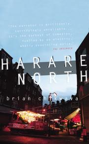
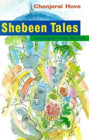

Search results from Open Library.
Recent natural events nearby
Ground air-quality sensors
Recently spotted species
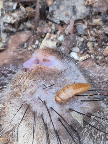
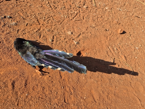
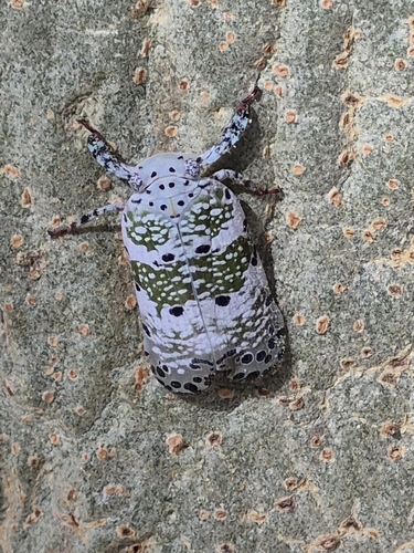
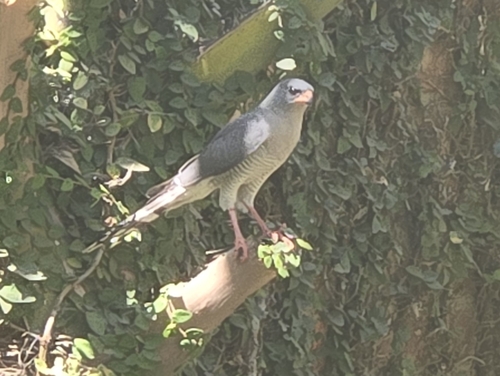
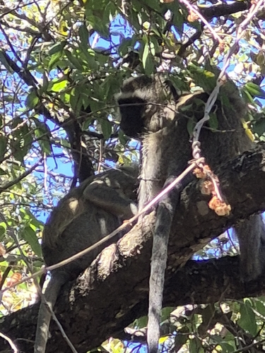
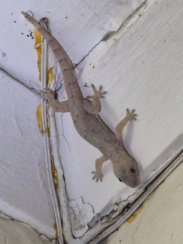
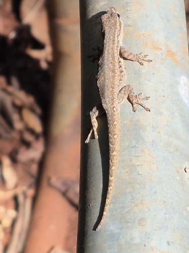
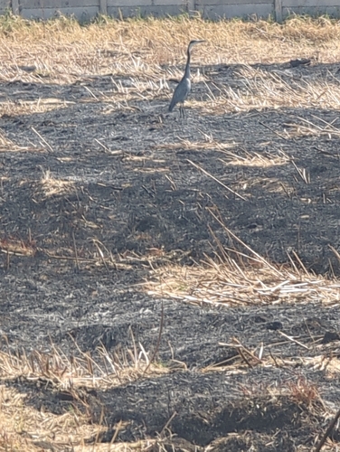
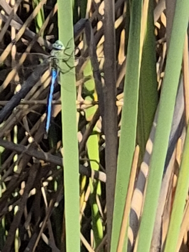
Research-grade observations from iNaturalist (within ~15 mi).
Events
Gallery
Sources
- • Wikipedia
- • Wikidata
- • USGS Earthquake Catalog (global feed)
- • GBIF (Global Biodiversity Information Facility)
- • iNaturalist
- • Open-Elevation
- • Open-Meteo / sunrise-sunset.org
- • Wikipedia Pageviews API
- • Open Library