Browse / United States / Alaska / Kaktovik
Kaktovik
Alaskacity

Kaktovik
Total population
124
Median home value
$97,100
Bachelor's+
Median income
$93,750
Demographic figures from US Census Bureau · ACS 5-year estimates. Overview below cites Wikipedia and may reference a different year.
- Special Weather Statement · ModerateSpecial Weather Statement issued September 30 at 12:00PM AKDT by NWS Fairbanks AK
Source: NOAA National Weather Service.
City facts
Facts from Wikidata (CC0).
Overview
Kaktovik is a city in North Slope Borough, Alaska, United States. The population was 283 at the 2020 census.
Read more on WikipediaHistory & geography
History
Until the late nineteenth century, Barter Island was a major trade center for the Inupiat and was especially important as a bartering place for Inupiat from Alaska and Inuit from Canada. Kaktovik was a traditional fishing place—Kaktovik means "Place to Seine Greyling Whitefish"—that has a large pond of good fresh water on high ground. It had no permanent settlers until people from other parts of Barter Island and northern Alaska moved to the area around the construction of a runway and Distant Early Warning Line station in the 1950s. The area was incorporated as the City of Kaktovik in 1971. Due to Kaktovik's isolation, the village has maintained its Inupiat Eskimo traditions. Subsistence is highly dependent upon the hunting of caribou and whale. In the early twenty-first century, Kaktovik became a tourist destination to view polar bears. This is in part due to the Inupiat, who are permitted to kill three bowhead whales per year, leaving the carcasses on the beach at the edge of town after flensing.
Geography
Kaktovik is located at (70.132832, -143.616230). Kaktovik is on the north shore of Barter Island, between the Okpilak River and Jago River on the Beaufort Sea coast. It lies in the Arctic National Wildlife Refuge. According to the United States Census Bureau, the city has a total area of , of which, of it is land and of it (21.00%) is water.
Excerpted from the corresponding Wikipedia article (CC BY-SA).
Demographics & economy
Race & ethnicity
Source: US Census Bureau — American Community Survey, 5-year estimates.
Geography
Coordinates & boundaries from the US Census TIGER/Line shapefiles.
Climate
Current forecast
Forecast for Kaktovik, AK from NOAA NWS API.
Air quality
Industrial & pollution facilities
Natural hazard risk
Health (adults)
Age-adjusted prevalence estimates from CDC PLACES (latest release).
Walkability
Amenities nearby
Wildlife & biodiversity
Schools
Largest nearby schools
- Harold Kaveolook SchoolOther · Kaktovik · 68 students · 8.5:1 ratio
Public K–12 schools within ~10 mi from Urban Institute Education Data Portal (NCES Common Core of Data, 2022).
Earthquake history
Photos
Sights & places nearby
Notable people from here
Nearby places in Alaska
- Arctic Village142 mi away · pop. 164
- Nuiqsut172.5 mi away · pop. 616
- Venetie225.1 mi away · pop. 76
- Chalkyitsik240.1 mi away · pop. 80
- Anaktuvuk Pass240.5 mi away · pop. 329
- Fort Yukon247.5 mi away · pop. 656
- Coldfoot256.5 mi away · pop. 211
- Birch Creek272.4 mi away
- Beaver274.5 mi away · pop. 17
- Circle296.3 mi away · pop. 54
- Bettles298.5 mi away · pop. 16
- Utqiaġvik310.2 mi away
Geography & sun
Elevation, sunrise/sunset and daylight from Open-Meteo. Solar climatology from NASA POWER.
Nearby airports
Public attention
Pageview totals from the Wikimedia Pageviews API.
Books about Kaktovik
Search results from Open Library.
Recent natural events nearby
Ground air-quality sensors
Recently spotted species
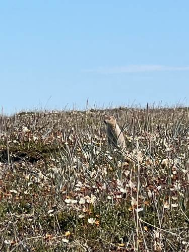
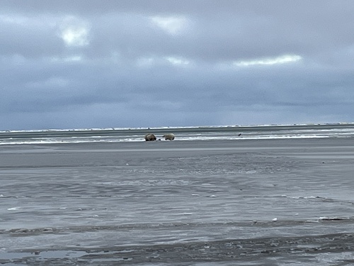
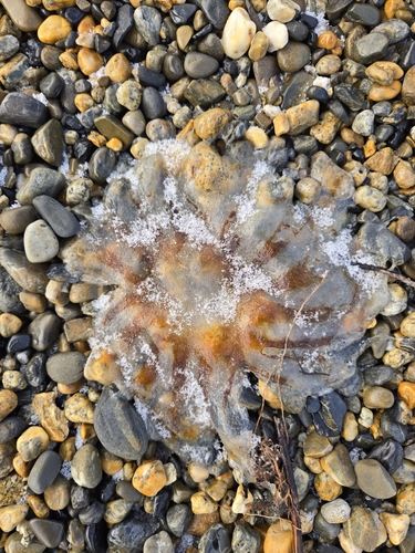
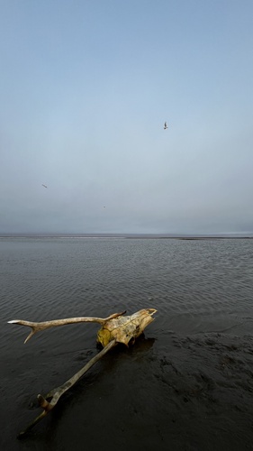
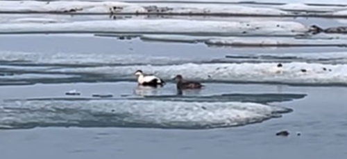
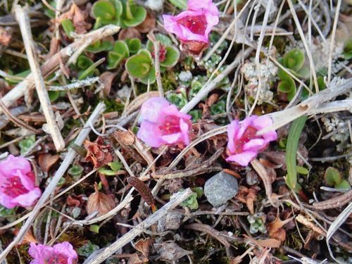
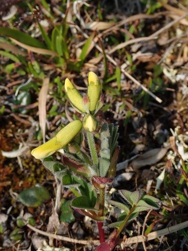
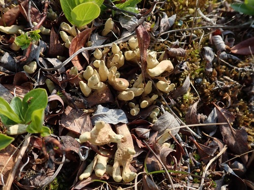
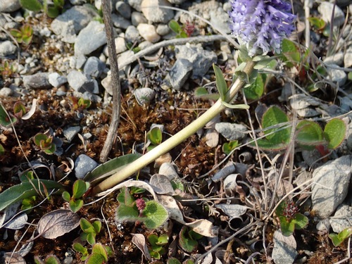
Research-grade observations from iNaturalist (within ~15 mi).
Nearest stream gauge
Events
Gallery
Sources
- • Wikipedia
- • US Census Bureau (ACS 5-year estimates)
- • NOAA National Weather Service
- • Wikidata
- • NCES via Urban Institute Education Data Portal
- • iNaturalist
- • CDC PLACES
- • Open-Meteo / sunrise-sunset.org
- • Wikipedia Pageviews API
- • Open Library