Browse / United States / Alaska / Utqiaġvik
Utqiaġvik
Alaskacity
Total population
4,778
Median home value
$311,400
Bachelor's+
Median income
$115,313
Air quality index
Demographic figures from US Census Bureau · ACS 5-year estimates. Overview below cites Wikipedia and may reference a different year.
City facts
Overview
Utqiaġvik is a city that lies in Alaska, United States. Around 4,778 people are recorded as living there in the most recent open data. Geographically it lies in the northern hemisphere at a polar latitude (71.254°, -156.798°). It covers about 48.6 km² of land area. The latitude suggests extreme seasonal daylight swings and prolonged cold. That works out to roughly 98 residents per square kilometre — a relatively low population density. Additional figures on demographics, climate, geography and points of interest appear in the sections that follow, all drawn from open public datasets.
Summary composed automatically from structured open data on this page. See our Terms for details.
History & geography
Demographics & economy
Race & ethnicity
Source: US Census Bureau — American Community Survey, 5-year estimates.
Geography
Coordinates & boundaries from the US Census TIGER/Line shapefiles.
Climate
Current forecast
Forecast for Utqiaġvik, AK from NOAA NWS API.
Air quality
Current readings from Open-Meteo Air Quality API (Copernicus CAMS European reanalysis).
Industrial & pollution facilities
Natural hazard risk
Health (adults)
Walkability
Amenities nearby
Wildlife & biodiversity
Most-observed species
- Snow BuntingPlectrophenax nivalis (Linnaeus, 1758) · Aves7,685
- Glaucous GullLarus hyperboreus Gunnerus, 1767 · Aves7,183
- Greater White-fronted GooseAnser albifrons (Scopoli, 1769) · Aves6,745
- Long-tailed DuckClangula hyemalis (Linnaeus, 1758) · Aves6,503
- Semipalmated SandpiperCalidris pusilla (Linnaeus, 1766) · Aves6,288
- Lapland LongspurCalcarius lapponicus (Linnaeus, 1758) · Aves6,234
- Red PhalaropePhalaropus fulicarius (Linnaeus, 1758) · Aves5,764
- Pectoral SandpiperCalidris melanotos (Vieillot, 1819) · Aves5,277
Citizen-science & research observations from the Global Biodiversity Information Facility (GBIF).
Schools
Largest nearby schools
- Fred Ipalook ElementaryElementary · Utqiagvik · 539 students · 16.3:1 ratio
- Barrow High SchoolHigh · Utqiagvik · 276 students · 15.3:1 ratio
- Eben Hopson Middle SchoolMiddle · Utqiagvik · 247 students · 14.5:1 ratio
- Kiita Learning CommunityHigh · Utqiagvik · 54 students · 27:1 ratio
Public K–12 schools within ~10 mi from Urban Institute Education Data Portal (NCES Common Core of Data, 2022).
Earthquake history
Most recent
- M 3.5 — 2014-08-1320 km SSW of Barrow, Alaska
- M 2.8 — 2013-10-2622 km NNW of Barrow, Alaska
- M 3 — 2010-02-1439 km WNW of Barrow, Alaska
Events from the USGS Earthquake Catalog (global) (FDSN Event Web Service).
Photos
Sights & places nearby
Notable people from here


People born within ~10 km, from Wikidata (CC0). Click any name for their Wikipedia article.
Nearby places in Alaska
- Nuiqsut150.6 mi away · pop. 616
- Point Lay174.2 mi away · pop. 390
- Anaktuvuk Pass246.7 mi away · pop. 329
- Red Dog Mine263.9 mi away
- Noatak294.4 mi away · pop. 786
- Kobuk299.2 mi away · pop. 101
- Shungnak302.3 mi away · pop. 147
- Kivalina306.9 mi away · pop. 809
- Kiana308.9 mi away · pop. 437
- Point Hope309.2 mi away · pop. 832
- Kaktovik310.2 mi away · pop. 124
- Coldfoot321.2 mi away · pop. 211
Geography & sun
Nearby airports
Public attention
Books about this place
Recent natural events nearby
Ground air-quality sensors
Recently spotted species
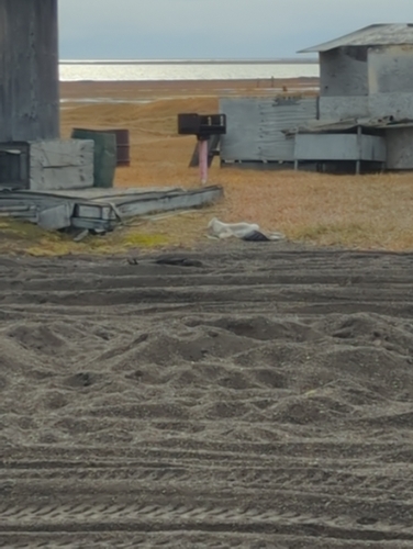
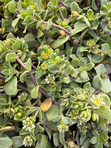
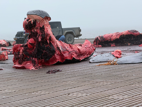
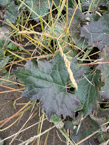
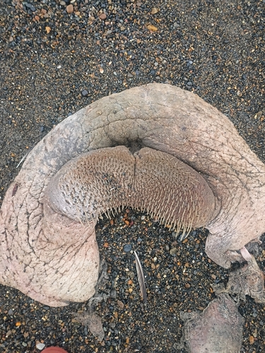
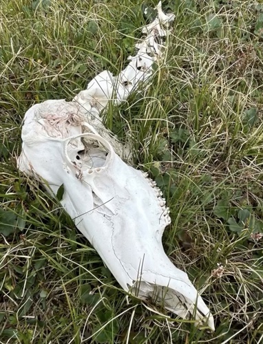
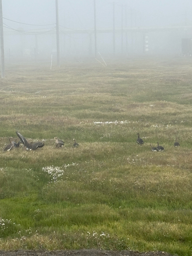
Research-grade observations from iNaturalist (within ~15 mi).
Nearest stream gauge
Events
Gallery
Sources
- • US Census Bureau (ACS 5-year estimates)
- • NOAA National Weather Service
- • Wikidata
- • Open-Meteo Air Quality (CAMS)
- • USGS Earthquake Catalog (global feed)
- • NCES via Urban Institute Education Data Portal
- • GBIF (Global Biodiversity Information Facility)
- • iNaturalist