Browse / Australia / Queensland / Bulwer
Bulwer
Queenslandhamlet

Bulwer
Air quality index
Demographic figures from Australian Bureau of Statistics. Overview below cites Wikipedia and may reference a different year.
City facts
Overview
Bulwer is a coastal town and locality at the north-western end of Moreton Island in the City of Brisbane, Queensland, Australia. In the 2021 census, the locality of Bulwer had a population of 59 people.
Read more on WikipediaHistory & geography
History
Bulwer was probably named after Lord Edward Bulwer-Lytton (1803–1873) who was Secretary of State for the Colonies from 1858 to 1859. In 1863 land was offered for sale at Bulwer for the first time, contesting of 36 lots each of 2 roods with 25 sold. In November 1865 a school and teacher's residence were erected but a teacher had not been appointed. The families of the staff of the pilot station were the principal residents at that time. That school opened in 1866-1867. In April 1875, the Queensland Government set aside 2 roods for a government school (suggesting the previous school was operated privately). Moreton Island State School opened circa 1876 and was renamed Bulwer State School in 1878. In 1891 it was downgraded to a provisional school, but restored to state school status in 1895. The state school was closed in 1909 when the pilots' families ceased to live on the island. In the 1930s, three ships were scuttled in the area to form a harbour for small boats. The first on 8 May 1933 was the 337-ton steamer Hopewell formerly owned by timber merchants Hyne & Son of Maryborough. The second on 10 May 1933 was the 716-ton Mount Kembla. The third in September 1935 was the Kallatina, a 646 ton passenger and cargo ship owned by John Edward Burke which operated a route from Brisbane through to the Gulf of Carpentaria. Although the intention was to provide a safe harbour, during a storm in July 1938 the 35-foot motor launch Achilles struck the half-sunken Mount Kembla and sank within 15 minutes, the 12 men on board Achilles climbed onto the Mount Kembla until they were rescued by Robert Alexander Gow in his dinghy.
Geography
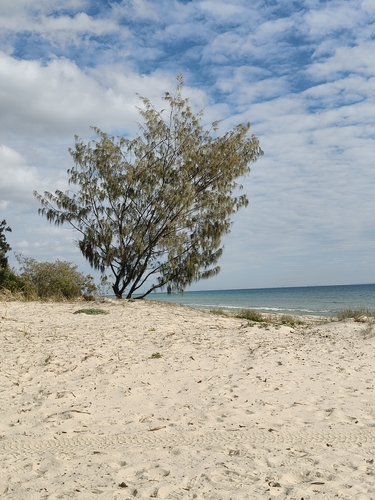
Bulwer is on the north-west coast of Moreton Island facing Moreton Bay. It is to the Brisbane central business district. It is one of the few developed areas on Moreton Island which is almost entirely national park (Moreton Island National Park). It consists of a few streets of housing and a long sandy beach. There are no formal road connections to Bulwer, but there are dirt tracks that connect it to other parts of the island.
Excerpted from the corresponding Wikipedia article (CC BY-SA).
Geography
Coordinates & boundaries from the US Census TIGER/Line shapefiles.
Climate
Air quality
Current readings from Open-Meteo Air Quality API (Copernicus CAMS European reanalysis).
Walkability
Amenities nearby
Wildlife & biodiversity
Most-observed species
- Great Crested TernThalasseus bergii (M.H.K.Lichtenstein, 1823) · Aves2,048
- Pied CormorantPhalacrocorax varius (Gmelin, 1789) · Aves1,370
- Torresian CrowCorvus orru Bonaparte, 1850 · Aves749
- Australasian GannetMorus serrator (G.R.Gray, 1843) · Aves684
- Silver GullChroicocephalus novaehollandiae (Stephens, 1826) · Aves652
- Brown HoneyeaterLichmera indistincta (Vigors & Horsfield, 1827) · Aves640
- Welcome SwallowHirundo neoxena Gould, 1842 · Aves575
- Masked LapwingVanellus miles (Boddaert, 1783) · Aves572
Citizen-science & research observations from the Global Biodiversity Information Facility (GBIF).
Earthquake history
Events from the USGS Earthquake Catalog (global) (FDSN Event Web Service).
Photos
Sights & places nearby
Notable people from here
Nearby places in Queensland
- Tangalooma7 mi away
- Redcliffe18.8 mi away
- Kooringal19.1 mi away
- Deception Bay22.5 mi away
- Amity Point22.9 mi away · pop. 425
- Caloundra24 mi away
- Burpengary25.1 mi away
- Morayfield25.9 mi away
- Point Lookout26.5 mi away · pop. 785
- Beerburrum26.6 mi away · pop. 487
- Dunwich29 mi away · pop. 795
- Maroochydore33.6 mi away
Geography & sun
Elevation, sunrise/sunset and daylight from Open-Meteo. Solar climatology from NASA POWER.
Nearby airports
Public attention
Books about this place
Recent natural events nearby
Ground air-quality sensors
Recently spotted species
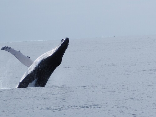
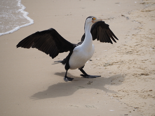
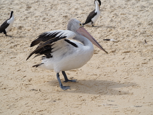
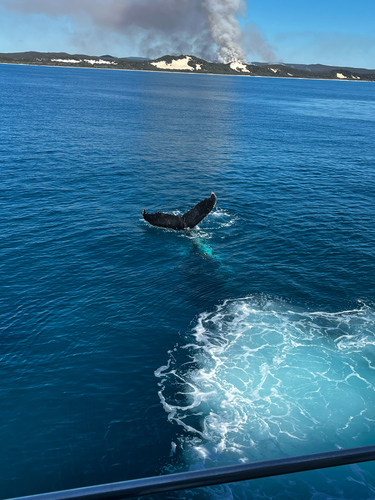
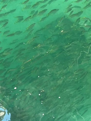
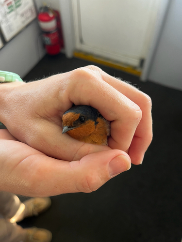
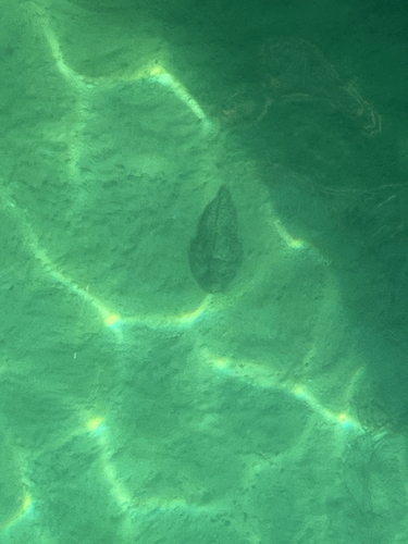
Research-grade observations from iNaturalist (within ~15 mi).
Events
Gallery
Official Identifiers
ABS — Australian Bureau of Statistics
- ASGS 2021
- SAL30418
- Population (Wikidata)
- 49
- Wikidata
- Q4997196
ASGS 2021 ID via Wikidata P10112
Sources
- • Wikipedia
- • Wikidata
- • Open-Meteo Air Quality (CAMS)
- • USGS Earthquake Catalog (global feed)
- • GBIF (Global Biodiversity Information Facility)
- • iNaturalist
- • Open-Meteo / sunrise-sunset.org
- • ABS — Australian Bureau of Statistics — ASGS 2021 ID via Wikidata P10112