Browse / Australia / South Australia / Cowell
Cowell
South Australiatown

Cowell
Total population
1,004
Demographic figures from Australian Bureau of Statistics. Overview below cites Wikipedia and may reference a different year.
City facts
Facts from Wikidata (CC0).
Overview
Cowell is a coastal town on Franklin Harbor on the eastern side of the Eyre Peninsula, in South Australia on the Lincoln Highway 111 km south of the major town of Whyalla. It is 493 km by road from Adelaide.
Read more on WikipediaHistory & geography
History
When settlers commenced farming the area in 1853, Franklin Harbour became a logical place to load ships for export of wheat and wool and a small settlement was soon established. The town was surveyed during July 1880 and was proclaimed on 28 October 1880. It was named after John Clayton Cowell who was a British soldier who served as the Governor of Windsor Castle. The locality's boundaries were gazetted on 23 December 1998 and include the Government Town of Cowell and the site of the ceased Government Town of Ferns, and the unbounded localities of Yabmana and Elbow Hill.
Geography
The township of Cowell lies on Franklin Harbour, a naturally a land-locked bay with a narrow entrance through which the tide rushes in and out. This results in calm waters inside the harbour, with much of the bay being dominated by shallow tidal mud flats and associated mangrove ecosystems. Due to the velocity of the tide through the harbour's entrance, the waters of the bay are constantly filled with clay and silt particles that are kept in suspension by the moving water. There are very few sandy beaches lining the harbour due to this fact. The Franklin Harbor Conservation Park is established on the southern arm of the harbour and Entrance Island. The waters of Franklin Harbour lie within the outer boundary of the Franklin Harbor Marine Park. Fishing is permitted within the park, but is prohibited within several internal sanctuary zones. The park extends into Spencer Gulf and northward past Lucky Bay to Port Gibbon. Inland, the landscape is dominated by agricultural land, as well as areas of untouched vegetation on the coastal margins. The Minbrie Ranges can be found further inland.
Excerpted from the corresponding Wikipedia article (CC BY-SA).
Geography
Coordinates & boundaries from the US Census TIGER/Line shapefiles.
Climate
10-year averages from ERA5 reanalysis (Open-Meteo).
Air quality
Walkability
Amenities nearby
Wildlife & biodiversity
Most-observed species
- Singing HoneyeaterGavicalis virescens (Vieillot, 1817) · Aves347
- Welcome SwallowHirundo neoxena Gould, 1842 · Aves326
- Silver GullChroicocephalus novaehollandiae (Stephens, 1826) · Aves322
- European StarlingSturnus vulgaris Linnaeus, 1758 · Aves285
- Australian KestrelFalco cenchroides Vigors & Horsfield, 1827 · Aves276
- House SparrowPasser domesticus (Linnaeus, 1758) · Aves255
- Magpie-larkGrallina cyanoleuca (Latham, 1802) · Aves249
- Pied CormorantPhalacrocorax varius (Gmelin, 1789) · Aves245
Citizen-science & research observations from the Global Biodiversity Information Facility (GBIF).
Earthquake history
Most recent
- M 4.2 — 2018-11-2147 km N of Cowell, Australia
- M 3.9 — 2018-07-0115 km WNW of Cowell, Australia
- M 4.7 — 2010-06-0523 km NW of Cowell, Australia
- M 3.4 — 2006-07-1755 km S of Cowell, Australia
- M 2.8 — 2002-11-0833 km N of Tumby Bay, Australia
Events from the USGS Earthquake Catalog (global) (FDSN Event Web Service).
Photos
Sights & places nearby
Notable people from here
People born within ~10 km, from Wikidata (CC0). Click any name for their Wikipedia article.
Nearby places in South Australia
- Elbow Hill8.4 mi away
- Cleve24.7 mi away · pop. 796
- Arno Bay25.6 mi away · pop. 219
- Paskeville61.2 mi away · pop. 79
- Mundoora67 mi away
- Warnertown75.6 mi away
- Ardrossan76.4 mi away · pop. 1,188
- Crystal Brook77.4 mi away · pop. 1,322
- Napperby77.9 mi away · pop. 291
- Port Wakefield78.6 mi away · pop. 593
- James Well78.6 mi away · pop. 54
- Cummins79.5 mi away · pop. 748
Geography & sun
Elevation, sunrise/sunset and daylight from Open-Meteo. Solar climatology from NASA POWER.
Nearby airports
Public attention
Pageview totals from the Wikimedia Pageviews API.
Books about Cowell
Search results from Open Library.
Recent natural events nearby
Ground air-quality sensors
Recently spotted species
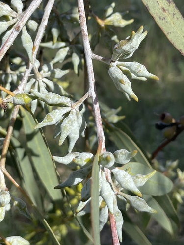
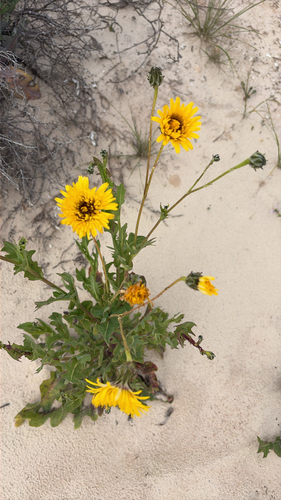
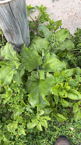
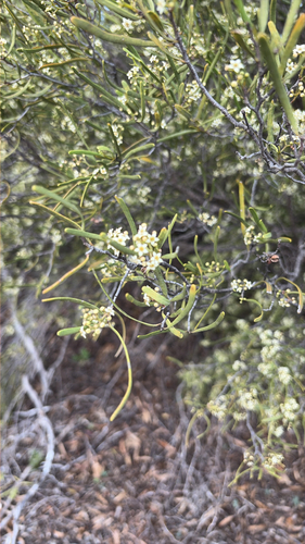
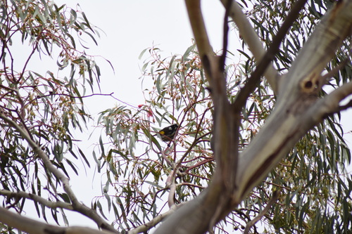
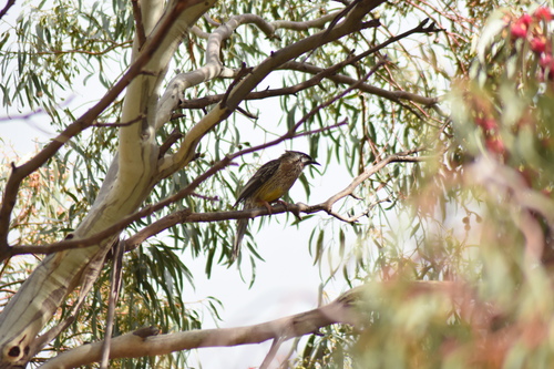
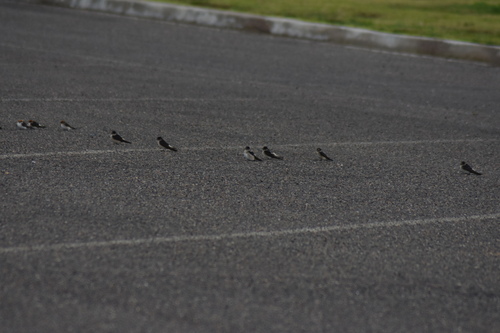
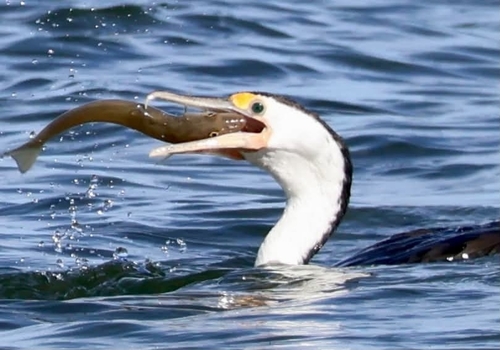
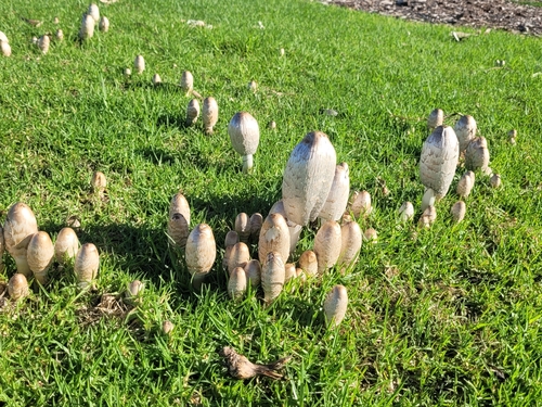
Research-grade observations from iNaturalist (within ~15 mi).
Events
Gallery
Sources
- • Wikipedia
- • Open-Meteo (ERA5 reanalysis)
- • Wikidata
- • USGS Earthquake Catalog (global feed)
- • GBIF (Global Biodiversity Information Facility)
- • iNaturalist
- • Open-Meteo / sunrise-sunset.org
- • Wikipedia Pageviews API
- • Open Library