Browse / Australia / Queensland / Dingo
Dingo
Queenslandvillage

Dingo
Demographic figures from Australian Bureau of Statistics. Overview below cites Wikipedia and may reference a different year.
City facts
Overview
Dingo is a rural town and locality in the Central Highlands Region, Queensland, Australia. In the 2021 census, the locality of Dingo had a population of 221 people.
Read more on WikipediaHistory & geography
History
The town was surveyed in 1889 and took its name from the nearby Dingo Creek. Dingo Provisional School opened on 29 May 1876. On 22 January 1877 it became Dingo State School. In 1973, a population of Bridled nail-tail wallabies (Onychogalea fraenata) was found in the Dingo area by a fencing contractor. Not having been seen since 1937, the species had been considered extinct. The area where the wallabies was rediscovered was protected as Taunton National Park. On 31 January 1997, Duaringa Shire mayor Tom Hall unveiled a bronze sculpture of a dingo in Normanby Street opposite the library (). It was created by Gaye Porter. A plaque attached below the statue explains how pioneer Moses Wafer named the area after hearing dingos howling during the night while camped near the present-day site of the town.
Geography
The town is on the Capricorn Highway, by road north-west of the state capital Brisbane and by road west of the regional centre of Rockhampton. The Fitzroy Developmental Road runs north-west from the Capricorn Highway. The Central Western railway line passes through the locality with two stations (from west to east): * Umolo railway station ()
Excerpted from the corresponding Wikipedia article (CC BY-SA).
Geography
Coordinates & boundaries from the US Census TIGER/Line shapefiles.
Climate
Air quality
Walkability
Amenities nearby
Wildlife & biodiversity
Most-observed species
- Torresian CrowCorvus orru Bonaparte, 1850 · Aves45
- Magpie-larkGrallina cyanoleuca (Latham, 1802) · Aves35
- Australian MagpieGymnorhina tibicen (Latham, 1802) · Aves32
- Willie-wagtailRhipidura leucophrys (Latham, 1802) · Aves29
- ApostlebirdStruthidea cinerea Gould, 1837 · Aves28
- Blue-faced HoneyeaterEntomyzon cyanotis (Latham, 1801) · Aves23
- GalahEolophus roseicapilla (Vieillot, 1817) · Aves21
- Rainbow LorikeetTrichoglossus haematodus (Linnaeus, 1771) · Aves20
Citizen-science & research observations from the Global Biodiversity Information Facility (GBIF).
Earthquake history
Events from the USGS Earthquake Catalog (global) (FDSN Event Web Service).
Photos
Sights & places nearby
Notable people from here
Nearby places in Queensland
Geography & sun
Elevation, sunrise/sunset and daylight from Open-Meteo. Solar climatology from NASA POWER.
Nearby airports
Public attention
Pageview totals from the Wikimedia Pageviews API.
Books about Dingo
Search results from Open Library.
Recent natural events nearby
Ground air-quality sensors
Recently spotted species
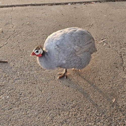
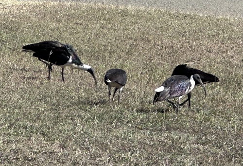
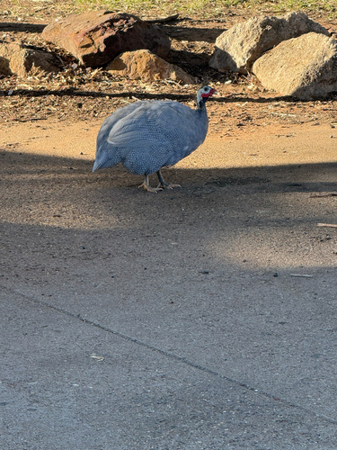
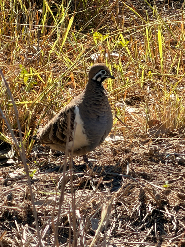
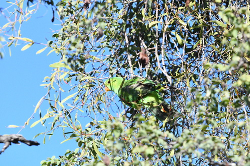
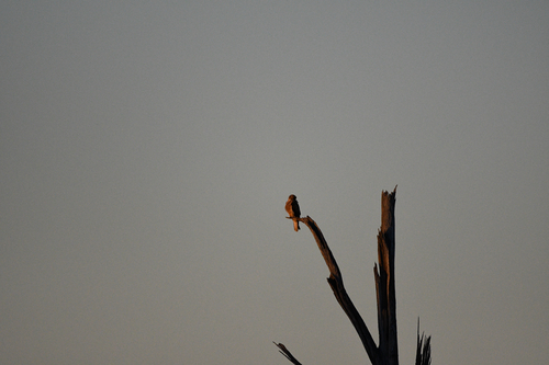
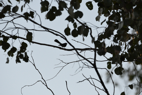
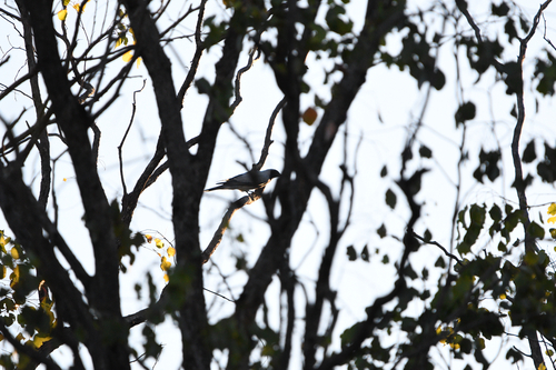
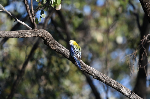
Research-grade observations from iNaturalist (within ~15 mi).
Events
Gallery
Official Identifiers
ABS — Australian Bureau of Statistics
- ASGS 2021
- SAL30846
- Population (Wikidata)
- 221
- Wikidata
- Q14935404
ASGS 2021 ID via Wikidata P10112
Sources
- • Wikipedia
- • Wikidata
- • USGS Earthquake Catalog (global feed)
- • GBIF (Global Biodiversity Information Facility)
- • iNaturalist
- • Open-Meteo / sunrise-sunset.org
- • Wikipedia Pageviews API
- • Open Library
- • ABS — Australian Bureau of Statistics — ASGS 2021 ID via Wikidata P10112