Browse / Australia / Queensland / Emu Vale
Emu Vale
Queenslandhamlet

Emu Vale
Demographic figures from Australian Bureau of Statistics. Overview below cites Wikipedia and may reference a different year.
City facts
Overview
Emu Vale is a rural town and locality in the Southern Downs Region, Queensland, Australia. In the 2021 census, the locality of Emu Vale had a population of 161 people.
Read more on WikipediaHistory & geography
History
The town takes its name from the Emu Vale railway station on the Killarney railway line, which is believed to be named after an early pastoral run. Emu Vale Provisional School opened on 2 February 1876. It became Emu Vale State School on 20 January 1879. It was closed on 31 December 2003. The school was located on the triangle land parcel on the north-west corner of Yangan Killarney Road and Emu Creek Road (). The school site was then split into two sections with the western part becoming Emu Vale Park and the eastern part with the former school buildings now being used as holiday accommodation. The school's website was archived. Land in Emu Vale was open for selection on 17 April 1877; were available. The first section of the Killarney railway line from Warwick was long and terminated at Emu Vale. The contract to build the first section was given to John Garget on 22 November 1881, but progress was delayed when the Queensland Railway Department was unable to provide the locomotives and wagons need to carry the construction materials. The first section to Emu Vale railway station opened on 2 June 1884. It was officially opened with a train from Warwick decorated with flags and greenery with several hundred passengers on board. The second section of the railway from Emu Vale to Killarney railway station was also built by Garget and completed on 22 August 1885. In 1898, the Post and Telegraph and Postal Note Office previously known as Neereeadah was changed to Emu Vale. In 1911, A. and D. Munro established a sawmill beside Emu Creek at the confluence of its north and south branches. The mill closed two years later. It was on Emu Creek Road (approx ). Boldery and Brett built a sawmill in 1928 near the confluence of Emu Creek and Emu Creek South (). Following some…
Geography
The locality is bounded to the east by the Main Range section of the Great Dividing Range. The terrain is mountainous with elevations ranging from above sea level. * Sentinel Point () * Mount Guymer () * Mount Steamer () with its "Steamers" ** Stern () ** Prow () The Steamers are distinctive rock formations, which are thought to be from a thick trachyte lava flow from the Main Range volcano which was active 24 million years ago. They look like an old steamship with four high protruding peaks representing its Stern, Prow, Funnel and Mast. Most of the north-east of the locality is within the Main Range National Park. Apart from this protected area, the land use is mostly crop growing in the south-east (the lower flatter area around the town) and grazing on native vegetation elsewhere.
Excerpted from the corresponding Wikipedia article (CC BY-SA).
Geography
Coordinates & boundaries from the US Census TIGER/Line shapefiles.
Climate
Air quality
Walkability
Amenities nearby
Wildlife & biodiversity
Most-observed species
- Australian MagpieGymnorhina tibicen (Latham, 1802) · Aves624
- Torresian CrowCorvus orru Bonaparte, 1850 · Aves616
- Noisy MinerManorina melanocephala (Latham, 1801) · Aves548
- GalahEolophus roseicapilla (Vieillot, 1817) · Aves475
- Lewin's HoneyeaterMeliphaga lewinii (Swainson, 1837) · Aves404
- Pied CurrawongStrepera graculina (Shaw, 1790) · Aves356
- Rainbow LorikeetTrichoglossus haematodus (Linnaeus, 1771) · Aves353
- Crested PigeonOcyphaps lophotes (Temminck, 1822) · Aves352
Citizen-science & research observations from the Global Biodiversity Information Facility (GBIF).
Earthquake history
Events from the USGS Earthquake Catalog (global) (FDSN Event Web Service).
Photos
Sights & places nearby
Notable people from here


People born within ~10 km, from Wikidata (CC0). Click any name for their Wikipedia article.
Nearby places in Queensland
Geography & sun
Elevation, sunrise/sunset and daylight from Open-Meteo. Solar climatology from NASA POWER.
Nearby airports
Public attention
Pageview totals from the Wikimedia Pageviews API.
Books about this place
Recent natural events nearby
Ground air-quality sensors
Recently spotted species
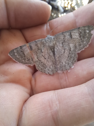
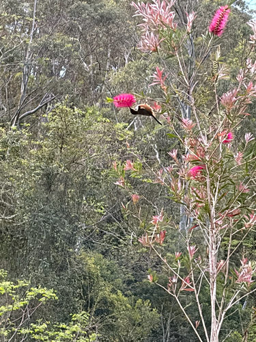
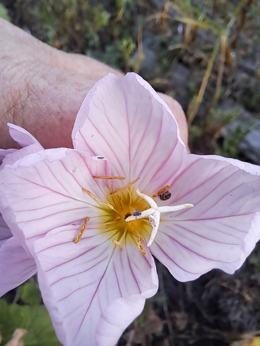
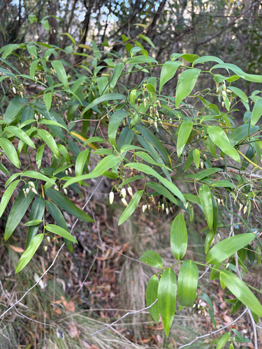
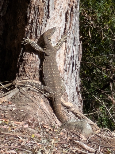
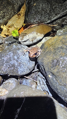
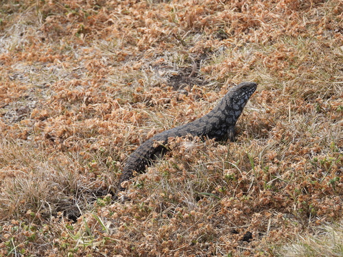
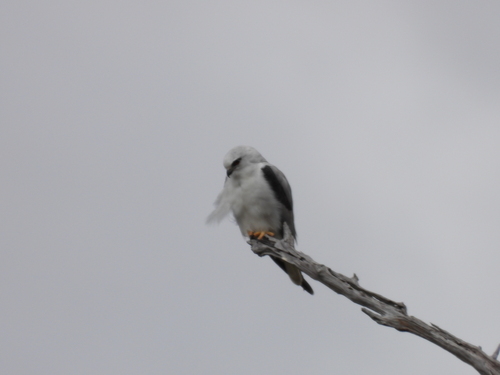
Research-grade observations from iNaturalist (within ~15 mi).
Events
Gallery
Official Identifiers
ABS — Australian Bureau of Statistics
- ASGS 2021
- SAL30976
- Population (Wikidata)
- 161
- Wikidata
- Q31041232
ASGS 2021 ID via Wikidata P10112
Sources
- • Wikipedia
- • Wikidata
- • USGS Earthquake Catalog (global feed)
- • GBIF (Global Biodiversity Information Facility)
- • iNaturalist
- • Open-Meteo / sunrise-sunset.org
- • Wikipedia Pageviews API
- • ABS — Australian Bureau of Statistics — ASGS 2021 ID via Wikidata P10112