Browse / Australia / Western Australia / Gwalia
Gwalia
Western Australiahamlet

Gwalia
Demographic figures from Australian Bureau of Statistics. Overview below cites Wikipedia and may reference a different year.
City facts
Overview
Gwalia is a former gold-mining town located 233 kilometres (145 mi) north of Kalgoorlie and 828 kilometres (514 mi) east of Perth in Western Australia's Great Victoria Desert. Today, Gwalia is essentially a ghost town, having been largely deserted since the main source of employment, the Sons of Gwalia gold mine, closed in 1963.
Read more on WikipediaHistory & geography
History
The Wongatha people are the traditional owners and inhabitants of Gwalia. Underground mining at the Sons of Gwalia began in 1897, and continued until 1963. During this time it produced of gold down to a depth of via an incline shaft. Sons of Gwalia grew to become the largest Western Australian gold mine outside Kalgoorlie, and the deepest of its kind in Australia. The recovered between 1897 and 1963 amounts in value to US$4.34 billion (A$4.55 billion) at August 2012 prices. The area where Leonora-Gwalia are situated was first travelled by Sir John Forrest in 1869 during an unsuccessful search for signs of explorer Ludwig Leichhardt's expedition from the east. Forrest named a noticeable knoll Mount Leonora after a female relative. A number of years passed before Edward "Doodah" Sullivan first pegged the area in 1896 for gold prospecting, on the heels of recent finds in Kalgoorlie and Coolgardie. Gold was discovered near the base of Mount Leonora in May 1896 by Carlson, White and Glendinning, who named the claim "Sons of Gwalia" in honour of Thomas Tobias, a storekeeper in Coolgardie, who funded them. The name Gwalia, the ancient name for the country of Wales, was chosen because of Tobias' Welsh heritage. They then sold their claim for £5,000 to George Hall, who in turn recouped his investment in about one month. Hall sought additional capital, and began negotiations with a London firm, Bewick, Moreing & Co. They in turn sent a young American geologist to the area to develop the find into a working concern. That geologist was Herbert Hoover, who would later become President of the United States. Hoover arrived in Albany, Western Australia in May 1897, travelled by train to Coolgardie, then eventually to the Gwalia area by camel. He suggested himself as manager of…
Excerpted from the corresponding Wikipedia article (CC BY-SA).
Geography
Coordinates & boundaries from the US Census TIGER/Line shapefiles.
Climate
Air quality
Walkability
Amenities nearby
Wildlife & biodiversity
Most-observed species
- Magpie-larkGrallina cyanoleuca (Latham, 1802) · Aves38
- Singing HoneyeaterGavicalis virescens (Vieillot, 1817) · Aves37
- Crested PigeonOcyphaps lophotes (Temminck, 1822) · Aves35
- Willie-wagtailRhipidura leucophrys (Latham, 1802) · Aves31
- Spiny-cheeked HoneyeaterAcanthagenys rufogularis Gould, 1838 · Aves26
- Australian ShelduckTadorna tadornoides (Jardine & Selby, 1828) · Aves25
- Zebra FinchTaeniopygia guttata (Vieillot, 1817) · Aves24
- Gray TealAnas gracilis Buller, 1869 · Aves23
Citizen-science & research observations from the Global Biodiversity Information Facility (GBIF).
Earthquake history
Events from the USGS Earthquake Catalog (global) (FDSN Event Web Service).
Photos
Sights & places nearby
Notable people from here


People born within ~10 km, from Wikidata (CC0). Click any name for their Wikipedia article.
Nearby places in Western Australia
Geography & sun
Elevation, sunrise/sunset and daylight from Open-Meteo. Solar climatology from NASA POWER.
Nearby airports
Public attention
Pageview totals from the Wikimedia Pageviews API.
Books about Gwalia
Search results from Open Library.
Recent natural events nearby
Ground air-quality sensors
Recently spotted species
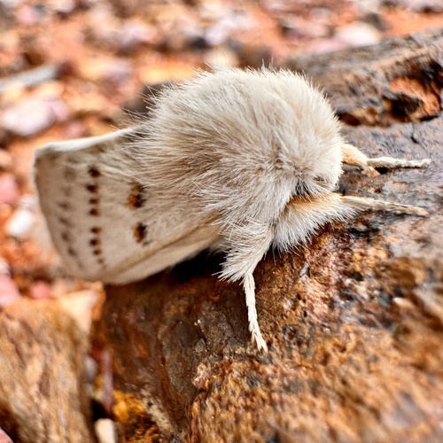
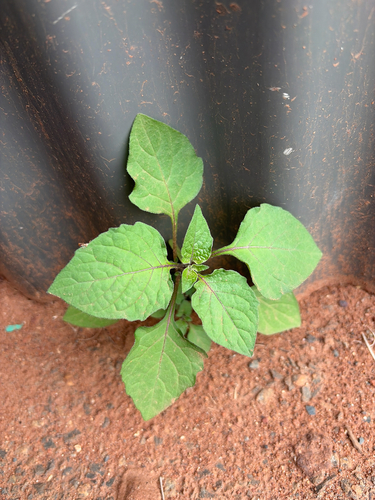
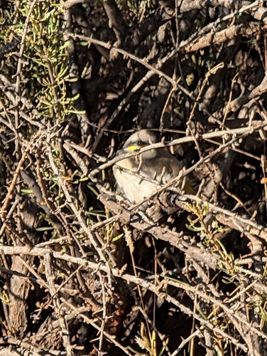
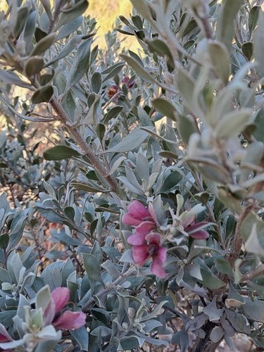
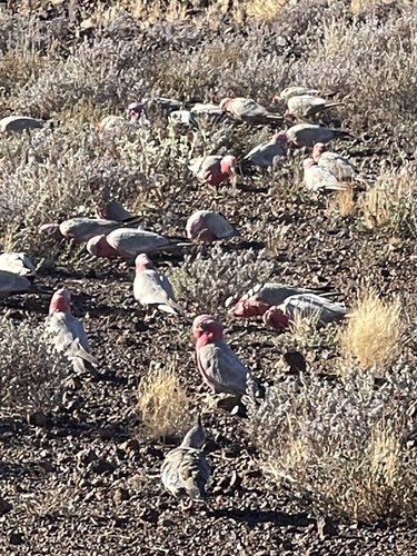
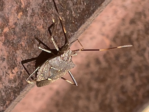
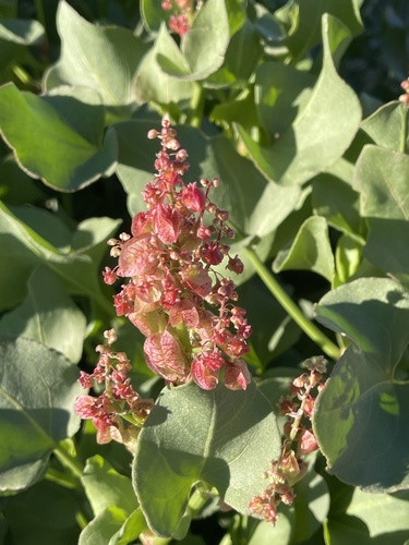
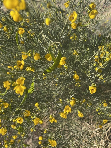
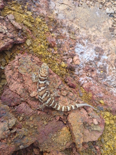
Research-grade observations from iNaturalist (within ~15 mi).
Events
Gallery
Sources
- • Wikipedia
- • Wikidata
- • USGS Earthquake Catalog (global feed)
- • GBIF (Global Biodiversity Information Facility)
- • iNaturalist
- • Open-Meteo / sunrise-sunset.org
- • Wikipedia Pageviews API
- • Open Library