Browse / Australia / Queensland / Gympie
Gympie
Queenslandcity

Gympie
Total population
19,435
Demographic figures from Australian Bureau of Statistics. Overview below cites Wikipedia and may reference a different year.
City facts
Facts from Wikidata (CC0).
Overview
Gympie is a city and a locality in the Gympie Region, Queensland, Australia. Located in the Greater Sunshine Coast, Gympie is about 170.7 km (110 mi) north of the state capital, Brisbane. The city lies on the Mary River, which floods Gympie occasionally. The locality of Gympie is the central business district for the city of Gympie and also the administrative centre for the Gympie Region local government area. In the 2021 census, Gympie had an urban population of 22,424 people.
Read more on WikipediaHistory & geography
History
Gubbi Gubbi (Kabi Kabi, Cabbee, Carbi, Gabi Gabi) is an Australian Aboriginal language formerly spoken by the indigenous peoples of the Sunshine Coast Region and Gympie Region, particularly the towns of Caloundra, Noosa Heads, Gympie and extending north towards Maryborough and south to Caboolture. Gympie's name derives from the Gubbi Gubbi word gimpi-gimpi, which means "stinging tree" and refers to Dendrocnide moroides. The tree has large, round leaves that have similar properties to stinging nettles. The city was previously named Nashville, after James Nash, who discovered gold in the area in 1867. The name was changed to Gympie in 1868, after a local species of tree was found, the Gimpie-Gimpie. Graziers were the original European settlers. Subsequently, James Nash reported the discovery of "payable" alluvial gold on 16 October 1867. At the time of Nash's discovery, Queensland was suffering from a severe economic depression. Nash saved Queensland from bankruptcy. A memorial fountain in Gympie's Park honours Nash's discovery. Gold mining still plays a role in the area's fortunes, along with agriculture (dairy predominantly), timber and tourism. The gold rush's rapid development led to streets that are in an irregular fashion. In 1882, a handful of macadamia seeds was taken from trees in Gympie to Hawaii, where they became the basis of Hawaii's macadamia industry. In 2019, researchers collected samples from hundreds of macadamia trees in Queensland, and compared their genetic profiles to samples from Hawaiian orchards. They determined that essentially all the Hawaiian trees must have descended from a small population of Australian trees from Gympie, possibly just a single tree. Gympie Creek Post Office opened on 1 December 1867. It was renamed Gympie in 1868. In…
Excerpted from the corresponding Wikipedia article (CC BY-SA).
Geography
Coordinates & boundaries from the US Census TIGER/Line shapefiles.
Climate
Air quality
Walkability
Amenities nearby
Wildlife & biodiversity
Most-observed species
- Torresian CrowCorvus orru Bonaparte, 1850 · Aves969
- Rainbow LorikeetTrichoglossus haematodus (Linnaeus, 1771) · Aves937
- Willie-wagtailRhipidura leucophrys (Latham, 1802) · Aves850
- Australian MagpieGymnorhina tibicen (Latham, 1802) · Aves843
- Australian IbisThreskiornis molucca (Cuvier, 1829) · Aves822
- Magpie-larkGrallina cyanoleuca (Latham, 1802) · Aves812
- Lewin's HoneyeaterMeliphaga lewinii (Swainson, 1837) · Aves697
- Noisy MinerManorina melanocephala (Latham, 1801) · Aves697
Citizen-science & research observations from the Global Biodiversity Information Facility (GBIF).
Earthquake history
Most recent
- M 4.9 — 2025-08-1512 km ESE of Cherbourg, Australia
Events from the USGS Earthquake Catalog (global) (FDSN Event Web Service).
Photos
Sights & places nearby
Notable people from here
Nearby places in Queensland
- Wolvi12 mi away
- Kandanga13.7 mi away · pop. 234
- Widgee13.8 mi away
- Neerdie14.3 mi away
- Kin Kin14.3 mi away · pop. 173
- Theebine18.3 mi away
- Imbil18.7 mi away · pop. 467
- Boreen Point21.7 mi away · pop. 336
- Cooloola Cove25.4 mi away
- Kilkivan27.2 mi away · pop. 429
- Kenilworth28.3 mi away · pop. 272
- Tiaro32.3 mi away · pop. 472
Geography & sun
Elevation, sunrise/sunset and daylight from Open-Meteo. Solar climatology from NASA POWER.
Nearby airports
Public attention
Pageview totals from the Wikimedia Pageviews API.
Books about this place
Recent natural events nearby
Ground air-quality sensors
Recently spotted species
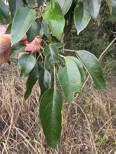
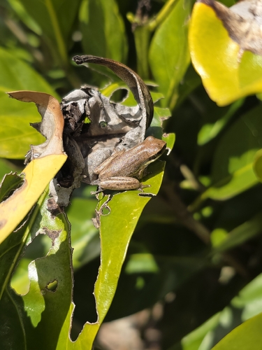
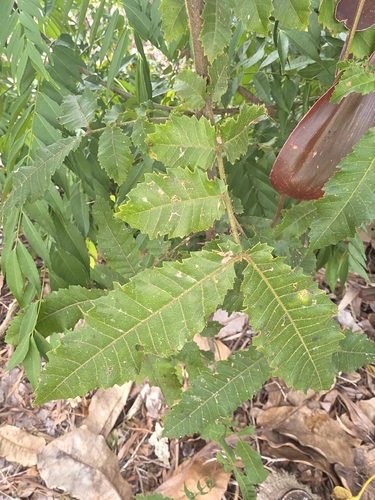
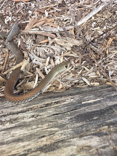
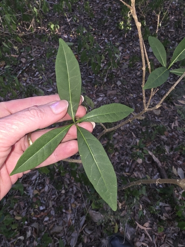
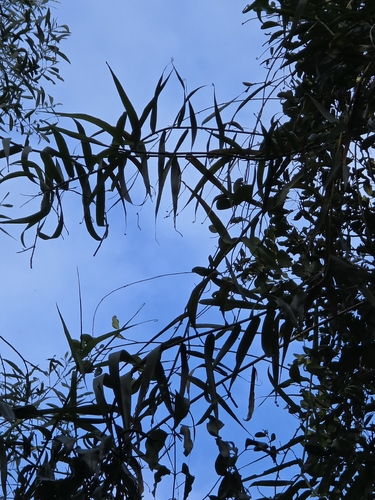
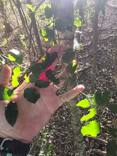
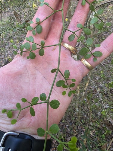
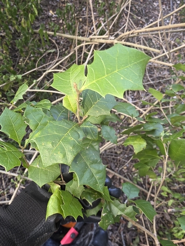
Research-grade observations from iNaturalist (within ~15 mi).
Events
Gallery
Sources
- • Wikipedia
- • Wikidata
- • USGS Earthquake Catalog (global feed)
- • GBIF (Global Biodiversity Information Facility)
- • iNaturalist
- • Open-Meteo / sunrise-sunset.org
- • Wikipedia Pageviews API