Browse / Australia / Queensland / Lappa
Lappa
Queenslandhamlet

Lappa
Demographic figures from Australian Bureau of Statistics. Overview below cites Wikipedia and may reference a different year.
City facts
Overview
Lappa is a former railway town on the western side of the Atherton Tablelands near Petford in the Shire of Mareeba in Far North Queensland, Australia.
Read more on WikipediaHistory & geography
History
Silver was discovered in the area in 1891 by the Halpin Brothers. The town has had several name changes in its relatively short existence. Originally named Lappa Lappa by Queensland Railways after the nearby silver, lead and zinc mines this name is the Aboriginal name for a large rock bluff there. One of the Lappa's was dropped over the years but then Lappa Junction became the local name and survived until 1943 it was shortened to Lappa once more. The Chillagoe branch railway line was a private railway built for the Chillagoe Railway and Mining Company. Starting at Mareeba, the line reached Lappa Junction on 1 October 1900 and was subsequently extended to Mungana. It was taken over the Queensland Government in 1919. In 1904, the population was 200–300 men.
Geography
Lappa is on the Burke Developmental Road which runs roughly east to west to the immediate north of the town. To the south of the town is the Lappa railway station which is on the Savannahlander route. Heading south is the road to Mount Garnet. The Lappa-Mount Garnet Road which was formerly a train line (which closed in 1961), which was built following Abdul Wade's camel track and is today a popular 4 wheel drive and mountain biking trail.
Excerpted from the corresponding Wikipedia article (CC BY-SA).
Geography
Coordinates & boundaries from the US Census TIGER/Line shapefiles.
Climate
10-year averages from ERA5 reanalysis (Open-Meteo).
Air quality
Walkability
Amenities nearby
Wildlife & biodiversity
Most-observed species
- Pied ButcherbirdCracticus nigrogularis (Gould, 1837) · Aves26
- Blue-faced HoneyeaterEntomyzon cyanotis (Latham, 1801) · Aves23
- Red-winged ParrotAprosmictus erythropterus (Gmelin, 1788) · Aves22
- Striated PardalotePardalotus striatus (Gmelin, 1789) · Aves22
- Rainbow LorikeetTrichoglossus haematodus (Linnaeus, 1771) · Aves20
- Australian MagpieGymnorhina tibicen (Latham, 1802) · Aves20
- Noisy FriarbirdPhilemon corniculatus (Latham, 1790) · Aves18
- Laughing KookaburraDacelo novaeguineae (Hermann, 1783) · Aves17
Citizen-science & research observations from the Global Biodiversity Information Facility (GBIF).
Earthquake history
Events from the USGS Earthquake Catalog (global) (FDSN Event Web Service).
Photos
Sights & places nearby
Notable people from here
Nearby places in Queensland
- Mount Garnet26.5 mi away · pop. 253
- Herberton33 mi away · pop. 984
- Walkamin39 mi away · pop. 213
- Ravenshoe42.9 mi away · pop. 786
- Yungaburra46.5 mi away · pop. 1,052
- Tarzali47.6 mi away · pop. 431
- Peeramon48 mi away · pop. 778
- Millaa Millaa49.2 mi away · pop. 314
- North Johnstone50.9 mi away
- Mount Molloy55.6 mi away · pop. 266
- Mount Carbine59.7 mi away
- Julatten60.2 mi away
Geography & sun
Elevation, sunrise/sunset and daylight from Open-Meteo. Solar climatology from NASA POWER.
Nearby airports
Public attention
Pageview totals from the Wikimedia Pageviews API.
Books about this place
Recent natural events nearby
Ground air-quality sensors
Recently spotted species
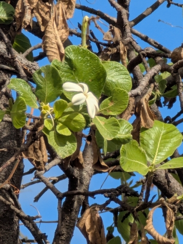
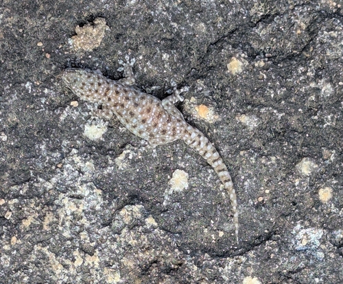
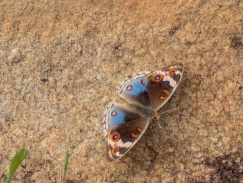
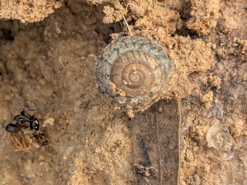
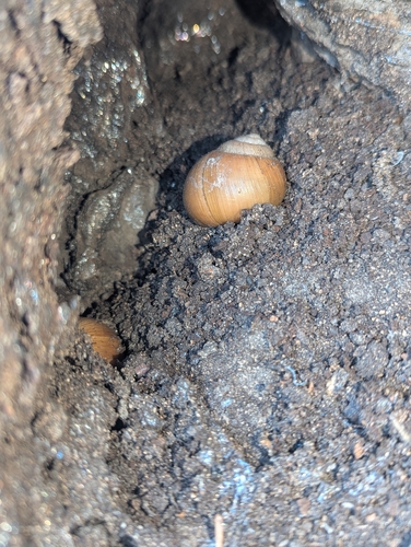
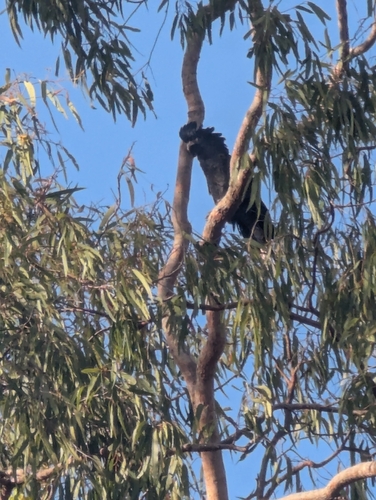
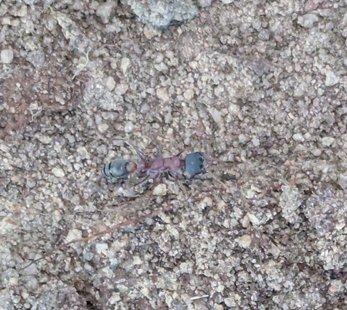
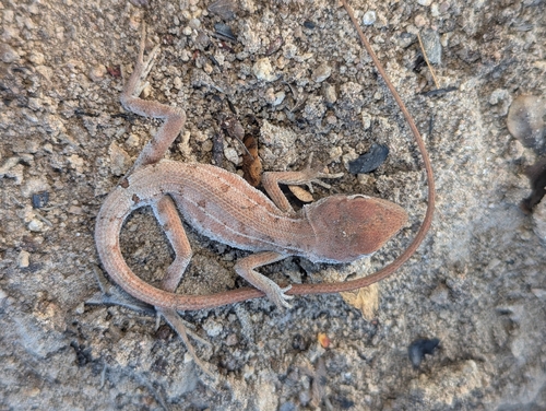
Research-grade observations from iNaturalist (within ~15 mi).
Events
Gallery
Sources
- • Wikipedia
- • Open-Meteo (ERA5 reanalysis)
- • USGS Earthquake Catalog (global feed)
- • GBIF (Global Biodiversity Information Facility)
- • iNaturalist
- • Open-Meteo / sunrise-sunset.org
- • Wikipedia Pageviews API