Browse / Australia / South Australia / Moonta
Moonta
South Australiatown

Moonta
Total population
4,627
Air quality index
Demographic figures from Australian Bureau of Statistics. Overview below cites Wikipedia and may reference a different year.
City facts
Facts from Wikidata (CC0).
Overview
Moonta is a town on the Yorke Peninsula of South Australia, 166 km (103 mi) north-northwest of the state capital of Adelaide. It is one of three towns known as the Copper Coast or "Little Cornwall" for their shared copper mining history.
Read more on WikipediaHistory & geography
History
The Moonta area is part of the traditional lands of the indigenous Narungga people. The Yorke Peninsula coastline near Wallaroo was separately navigated by Matthew Flinders and Nicolas Baudin in 1802. The next Europeans to explore the district were John Hill and Thomas Burr. Under instructions from Governor Gawler, the pair were landed about 15 kilometres south of Point Riley, near Moonta Bay, on 28 April 1840 from the government cutter Water Witch. They then made their way back to Adelaide on horseback, traversing Northern Yorke Peninsula. They reported the discovery of 'a very excellent tract of country'. Based on that report a few pioneering British settlers arrived in the Moonta area in the 1840s, as pastoralists, but there was no significant development until the 1860s, primarily because of the lack of water. The scrub in the area was difficult to penetrate (as testified by the town's name) so the first settlers had a hard time clearing the land. Large and rich deposits of copper were discovered at Moonta in 1861 by Patrick Ryan, a shepherd from Walter Hughes' property. This became a prosperous mine, named Wheal Hughes, with other mines soon to follow. The government town of Moonta was surveyed in March 1863, while an informal township of mining workers also grew at Moonta Mines. A horse tramway from Moonta to the port at Wallaroo opened in July 1866. Following advertising by the South Australian Government, Cornish miners arrived in Moonta in large numbers. The government town of Moonta incorporated as the Corporate Town of Moonta in 1872. The mines at Moonta proved to be the richest mines in the whole of South Australia by 1917, exceeding the total wealth created by all other mines since 1836, the year of establishment of South Australia. The population of…
Geography
Moonta exists in a semi-arid location, above Goyder's Line. Moonta is surrounded by mallee scrub. The centre is located four kilometres inland and is 20 metres above sea level. Moonta has a dry Mediterranean climate with seasonal temperatures about the same as Adelaide's temperatures. The temperature ranges are similar to those of Kadina and the weather patterns are similar to those of both Kadina and Adelaide.
Excerpted from the corresponding Wikipedia article (CC BY-SA).
Geography
Coordinates & boundaries from the US Census TIGER/Line shapefiles.
Climate
10-year averages from ERA5 reanalysis (Open-Meteo).
Air quality
Current readings from Open-Meteo Air Quality API (Copernicus CAMS European reanalysis).
Walkability
Amenities nearby
Wildlife & biodiversity
Most-observed species
- Red WattlebirdAnthochaera carunculata (Shaw, 1790) · Aves446
- European StarlingSturnus vulgaris Linnaeus, 1758 · Aves432
- New Holland HoneyeaterPhylidonyris novaehollandiae (Latham, 1790) · Aves391
- Magpie-larkGrallina cyanoleuca (Latham, 1802) · Aves390
- Spotted doveSpilopelia chinensis (Scopoli, 1786) · Aves384
- Crested PigeonOcyphaps lophotes (Temminck, 1822) · Aves380
- House SparrowPasser domesticus (Linnaeus, 1758) · Aves348
- Rock PigeonColumba livia J.F.Gmelin, 1789 · Aves314
Citizen-science & research observations from the Global Biodiversity Information Facility (GBIF).
Earthquake history
Most recent
- M 3.9 — 2018-07-0115 km WNW of Cowell, Australia
- M 4.7 — 2010-06-0523 km NW of Cowell, Australia
- M 3.4 — 2006-07-1755 km S of Cowell, Australia
- M 2.9 — 2003-05-0226 km ENE of Kadina, Australia
Events from the USGS Earthquake Catalog (global) (FDSN Event Web Service).
Photos
Sights & places nearby
Notable people from here


People born within ~10 km, from Wikidata (CC0). Click any name for their Wikipedia article.
Nearby places in South Australia
- Paskeville18 mi away · pop. 79
- Ardrossan30.9 mi away · pop. 1,188
- Port Wakefield33.4 mi away · pop. 593
- James Well33.9 mi away · pop. 54
- Mundoora43.3 mi away
- Curramulka44 mi away · pop. 156
- Minlaton48.6 mi away · pop. 759
- Elbow Hill50.8 mi away
- Port Vincent51.4 mi away · pop. 494
- Kybunga53.4 mi away
- Hoyleton55.7 mi away · pop. 46
- Arno Bay59.1 mi away · pop. 219
Geography & sun
Elevation, sunrise/sunset and daylight from Open-Meteo. Solar climatology from NASA POWER.
Nearby airports
Public attention
Pageview totals from the Wikimedia Pageviews API.
Books about Moonta
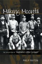
Search results from Open Library.
Recent natural events nearby
Ground air-quality sensors
Recently spotted species
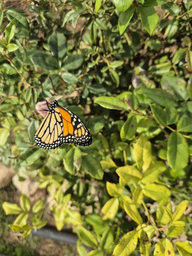
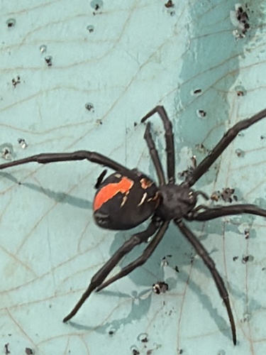
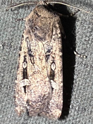
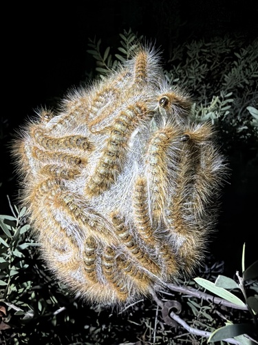
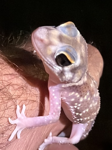
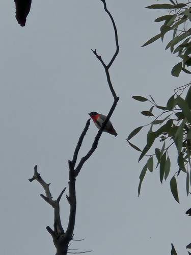
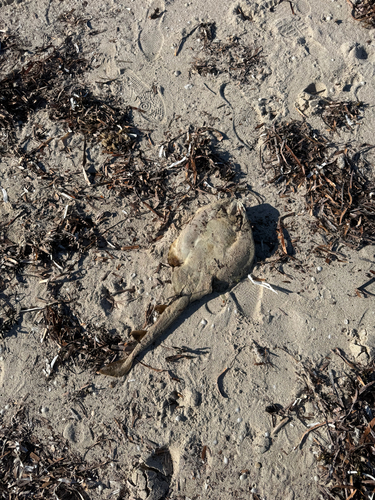
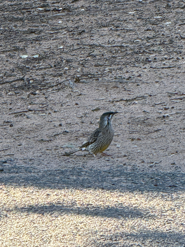
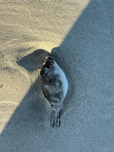
Research-grade observations from iNaturalist (within ~15 mi).
Events
Gallery
Geotagged photos within ~6 miles of Moonta, from Wikimedia Commons contributors.


.jpg)
_2016.jpg)
.jpg)
.jpg)
_at_Moonta,_South_Australia.jpg)


.jpg)


Photos via Wikimedia Commons — see each image page for license & attribution.
Sources
- • Wikipedia
- • Open-Meteo (ERA5 reanalysis)
- • Wikimedia Commons
- • Wikidata
- • Open-Meteo Air Quality (CAMS)
- • USGS Earthquake Catalog (global feed)
- • GBIF (Global Biodiversity Information Facility)
- • iNaturalist
- • Open-Meteo / sunrise-sunset.org
- • Wikipedia Pageviews API
- • Open Library