Browse / Australia / Queensland / Moura
Moura
Queenslandtown

Moura
Total population
1,843
Demographic figures from Australian Bureau of Statistics. Overview below cites Wikipedia and may reference a different year.
City facts
Overview
Moura is a rural town and locality in the Shire of Banana in Central Queensland, Australia. It services the surrounding coal mining and rural activities. It is situated approximately 65 kilometres (40 mi) west of Biloela on the Dawson Highway, 186 kilometres (116 mi) west of the port city of Gladstone, and 171 kilometres (106 mi) south west of Rockhampton. In the 2021 census, the locality of Moura had a population of 1,993 people.
Read more on WikipediaHistory & geography
History
In 1854 Charles Marshall named his leased pastoral selection Moura. There are two theories regarding the origin of the name. One is that it is named after Moura in Portugal where he served in the British Army during the Peninsular Wars. The other is that it is an Aboriginal word meaning native camp dog. Moura Provisional School was opened on 10 September 1940. It became Moura State School on 1 January 1948. In 1965 a secondary department was attached to the school. By 1975, there were sufficient secondary students to warrant a formal high school and so Moura State High School was opened on 25 January 1976 with 263 pupils. There have been three mining disasters that have occurred near Moura: *The first was the Kianga mining disaster occurring due to an explosion in the underground workings of the Kianga No. 1 mine on 20 September 1975, claiming 13 miners' lives. On 11 March 1978, a memorial centre was officially opened in Moura to commemorate the disaster. *The second, on 16 July 1986, was an explosion in the Moura No. 4 underground mine, claiming twelve miners' lives, the youngest miner being 18. After 1994, underground mining ceased and the area was operated as an open-cut coal mine. In November 2017, a routine blast in the mine resulted in ground movement leading to a "circular geotechnical failure" that resulted in a crack through a public access road across the open pit. The road had been a key access and freight route for farmers and graziers to reach the town of Moura, including a school bus route. The road remained closed in February 2018 and was expected to remain unstable indefinitely. The company had conducted improvements to a southern detour route, and consulted with the community about a viable long-term alternative. A new route was proposed which…
Excerpted from the corresponding Wikipedia article (CC BY-SA).
Geography
Coordinates & boundaries from the US Census TIGER/Line shapefiles.
Climate
Air quality
Walkability
Amenities nearby
Wildlife & biodiversity
Most-observed species
- Torresian CrowCorvus orru Bonaparte, 1850 · Aves60
- Magpie-larkGrallina cyanoleuca (Latham, 1802) · Aves48
- Rainbow LorikeetTrichoglossus haematodus (Linnaeus, 1771) · Aves39
- Willie-wagtailRhipidura leucophrys (Latham, 1802) · Aves39
- Australian MagpieGymnorhina tibicen (Latham, 1802) · Aves36
- GalahEolophus roseicapilla (Vieillot, 1817) · Aves32
- Red-winged ParrotAprosmictus erythropterus (Gmelin, 1788) · Aves30
- Sulphur-crested CockatooCacatua galerita (Latham, 1790) · Aves29
Citizen-science & research observations from the Global Biodiversity Information Facility (GBIF).
Earthquake history
Events from the USGS Earthquake Catalog (global) (FDSN Event Web Service).
Photos
Sights & places nearby
Notable people from here
Nearby places in Queensland
- Theodore27 mi away · pop. 451
- Baralaba28.6 mi away · pop. 260
- Goovigen35.1 mi away
- Wowan47.7 mi away · pop. 116
- Duaringa61.6 mi away · pop. 192
- Moonford68 mi away · pop. 160
- Monto74.9 mi away · pop. 1,021
- Taroom75 mi away · pop. 578
- Dingo75.5 mi away
- Kabra80.3 mi away
- Mount Larcom82.1 mi away · pop. 238
- West Stowe83.3 mi away
Geography & sun
Elevation, sunrise/sunset and daylight from Open-Meteo. Solar climatology from NASA POWER.
Nearby airports
Public attention
Pageview totals from the Wikimedia Pageviews API.
Books about Moura
Search results from Open Library.
Recent natural events nearby
Ground air-quality sensors
Recently spotted species
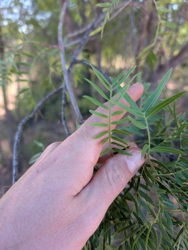
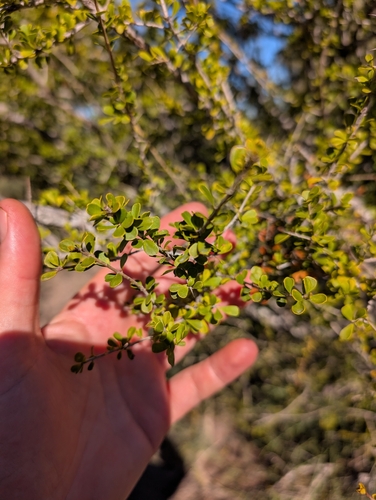
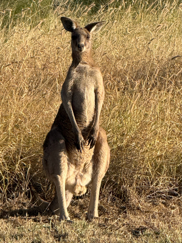
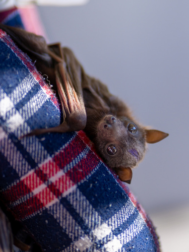
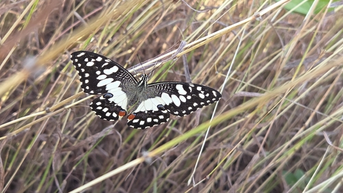
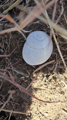
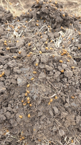
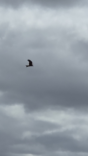
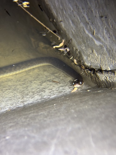
Research-grade observations from iNaturalist (within ~15 mi).
Events
Gallery
Sources
- • Wikipedia
- • USGS Earthquake Catalog (global feed)
- • GBIF (Global Biodiversity Information Facility)
- • iNaturalist
- • Open-Meteo / sunrise-sunset.org
- • Wikipedia Pageviews API
- • Open Library