Browse / Australia / Queensland / Wowan
Wowan
Queenslandvillage

Wowan
Total population
116
Founded
1912
Demographic figures from Australian Bureau of Statistics. Overview below cites Wikipedia and may reference a different year.
City facts
Facts from Wikidata (CC0).
Overview
Wowan is a rural town and locality in the Shire of Banana, Queensland, Australia. In the 2021 census, the locality of Wowan had a population of 170 people.
Read more on WikipediaHistory & geography
History
Wowan takes its name from the Wowan railway station, which in turn was named from the Aboriginal word for Australian brush-turkey. In 1912, two schools opened. One was Dundee Camp Provisional School (in the area that became the town of Wowan), presumably to provide education to the children of the railway workers living in the camp during the construction of the railway. The other was Dundee State School (in what is now Deeford). In 1915 Dundee Camp Provisional School was renamed Wowan Provisional School and on 1 May 1916 became Wowan State School. In 1917 Dundee State School was renamed Deeford State School. Deeford State School closed in 1941. Wowan was settled in 1912. The butter factory opened on 1 April 1919; it was operated by the Dawson Valley Co-operative Company. The second stage of the Dawson Valley railway line opened on 2 February 1915 and extended the line from the town of Wowan via other stations within the locality: * Buneru railway station () A permanent ambulance station was opened in October 1918. Buneru State School opened on 5 October 1918 on the south-western corner of Portion 100 on the (now) Leichhardt Highway (). Following flooding in 1928, the decision was made to relocate and enlarge the school. In 1934, the school was relocated to the south-west corner of Buneru Road and Buneru School Road (). The school closed in 1962. A stump-capping ceremony was held on 20 October 1923 and the church and opened on 13 January 1924. Following the amalgamation of the Methodist Church into the Uniting Church in Australia in 1977, it became Wowan Uniting Church. The church building was damaged in the 2012 floods. The community decided to relocate it to the Wowan Museum and refurbish the building. The Wowan Uniting Church amalgamated with the Biloela…
Geography
The Dee River forms part of the eastern boundary. Both towns are located in the north-east of the locality with Deeford at near a crossing point of the Dee River. There are also a number of neighbourhoods within the location: * Buneru () * Cooneel () * Muruguran () The Leichhardt Highway runs through from north to south through the localityl, passing through the town of Wowan.
Excerpted from the corresponding Wikipedia article (CC BY-SA).
Geography
Coordinates & boundaries from the US Census TIGER/Line shapefiles.
Climate
Air quality
Walkability
Amenities nearby
Wildlife & biodiversity
Most-observed species
- Torresian CrowCorvus orru Bonaparte, 1850 · Aves36
- Sulphur-crested CockatooCacatua galerita (Latham, 1790) · Aves23
- Magpie-larkGrallina cyanoleuca (Latham, 1802) · Aves22
- Australian MagpieGymnorhina tibicen (Latham, 1802) · Aves22
- Peaceful DoveGeopelia placida Gould, 1844 · Aves21
- Brown HoneyeaterLichmera indistincta (Vigors & Horsfield, 1827) · Aves18
- Willie-wagtailRhipidura leucophrys (Latham, 1802) · Aves18
- Australasian FigbirdSphecotheres vieilloti Vigors & Horsfield, 1827 · Aves18
Citizen-science & research observations from the Global Biodiversity Information Facility (GBIF).
Earthquake history
Events from the USGS Earthquake Catalog (global) (FDSN Event Web Service).
Photos
Sights & places nearby
Notable people from here
Nearby places in Queensland
Geography & sun
Elevation, sunrise/sunset and daylight from Open-Meteo. Solar climatology from NASA POWER.
Nearby airports
Public attention
Pageview totals from the Wikimedia Pageviews API.
Books about this place
Recent natural events nearby
Ground air-quality sensors
Recently spotted species
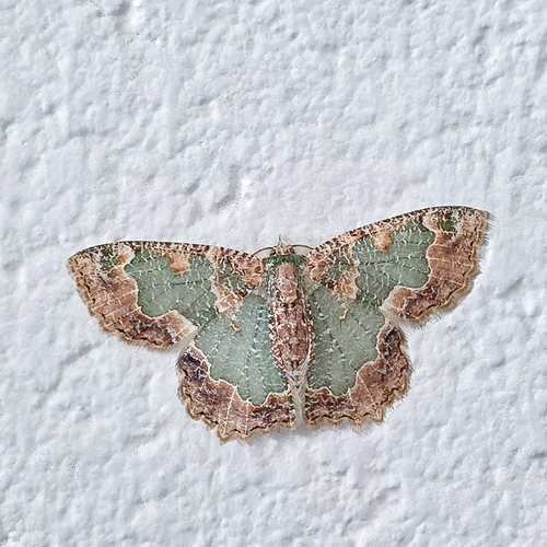
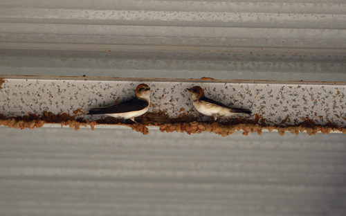
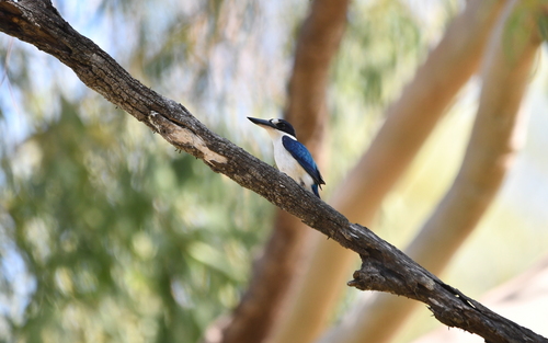
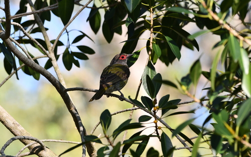
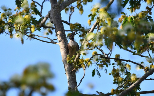
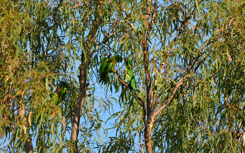
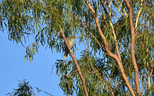
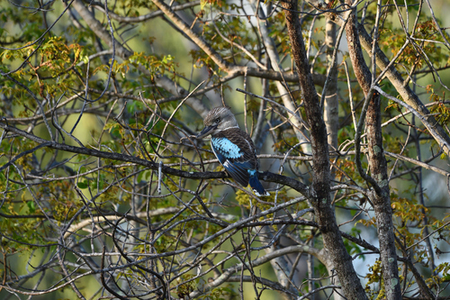
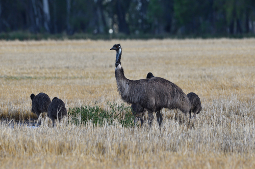
Research-grade observations from iNaturalist (within ~15 mi).
Events
Gallery
Geotagged photos within ~6 miles of Wowan, from Wikimedia Commons contributors.


Photos via Wikimedia Commons — see each image page for license & attribution.
Official Identifiers
ABS — Australian Bureau of Statistics
- ASGS 2021
- SAL33167
- Population (Wikidata)
- 170
- Wikidata
- Q8037465
ASGS 2021 ID via Wikidata P10112
Sources
- • Wikipedia
- • Wikimedia Commons
- • Wikidata
- • USGS Earthquake Catalog (global feed)
- • GBIF (Global Biodiversity Information Facility)
- • iNaturalist
- • Open-Meteo / sunrise-sunset.org
- • Wikipedia Pageviews API
- • ABS — Australian Bureau of Statistics — ASGS 2021 ID via Wikidata P10112