Browse / Australia / Western Australia / Onslow
Onslow
Western Australiatown

Onslow
Total population
813
Demographic figures from Australian Bureau of Statistics. Overview below cites Wikipedia and may reference a different year.
City facts
Facts from Wikidata (CC0).
Overview
Onslow is a coastal town in the Pilbara region of Western Australia, 1,386 kilometres (861 mi) north of Perth. It had a population of 829 people as at 2021 and is located within the Shire of Ashburton local government area.
Read more on WikipediaHistory & geography
History
Onslow was gazetted on 26 October 1885 as a town to serve the port at Ashburton Roads, at the mouth of the Ashburton River, exporting wool from sheep stations of the Pilbara hinterland. It was named after the Chief Justice of Western Australia, Alexander Onslow. Wool continued to be the major industry for the next 80 years, despite the extremes of drought and flood that characterize the region and are related to the passage or absence of cyclones. Although a large jetty was built at the original site of Onslow (Old Onslow), repeated cyclone damage and the silting up of the river caused increasing problems with the loading and unloading of visiting ships. The cargo was transferred by lighter from the ship in Ashburton Roads to the jetty, then by horse-tram from the jetty across of marshland inland to the town. This led the state government in 1923 to develop a new town and jetty north-east at Beadon Point. The new townsite was gazetted on 10 January 1924, and the residents of Old Onslow moved across in 1925. The new location for Onslow's jetty was better protected from storm damage with the townsite more conveniently located on the coast. On 15 May 1943, Onslow became the most southerly town in Australia to be bombed by Imperial Japan in World War II, when a single plane bombed the airfield. However, there was no damage or casualties. Since the war, the declining purchasing power of wool has, despite consistently good rainfall on the inland sheep stations since the late 1960s, led to a change in focus of Onslow's economy from wool to tourism. It is an access point for Coral Coast activities, such as scuba diving on the coral reefs offshore from the town.
Excerpted from the corresponding Wikipedia article (CC BY-SA).
Geography
Coordinates & boundaries from the US Census TIGER/Line shapefiles.
Climate
Air quality
Walkability
Amenities nearby
Wildlife & biodiversity
Most-observed species
- Silver GullChroicocephalus novaehollandiae (Stephens, 1826) · Aves61
- White-plumed HoneyeaterPtilotula penicillata (Gould, 1837) · Aves61
- Yellow-throated MinerManorina flavigula (Gould, 1840) · Aves60
- Zebra FinchTaeniopygia guttata (Vieillot, 1817) · Aves47
- Australian KestrelFalco cenchroides Vigors & Horsfield, 1827 · Aves43
- Magpie-larkGrallina cyanoleuca (Latham, 1802) · Aves41
- Torresian CrowCorvus orru Bonaparte, 1850 · Aves35
- Peaceful DoveGeopelia placida Gould, 1844 · Aves35
Citizen-science & research observations from the Global Biodiversity Information Facility (GBIF).
Earthquake history
Most recent
- M 4.3 — 2020-02-1023 km NNW of Onslow, Australia
- M 5.2 — 2011-12-0555 km NNE of Exmouth, Australia
- M 3.2 — 2007-08-2662 km SSE of Onslow, Australia
Events from the USGS Earthquake Catalog (global) (FDSN Event Web Service).
Photos
Sights & places nearby
Notable people from here
Nearby places in Western Australia
Geography & sun
Elevation, sunrise/sunset and daylight from Open-Meteo. Solar climatology from NASA POWER.
Nearby airports
Public attention
Pageview totals from the Wikimedia Pageviews API.
Books about Onslow
Search results from Open Library.
Recent natural events nearby
Ground air-quality sensors
Recently spotted species
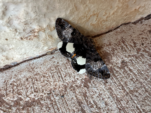
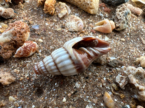
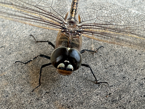
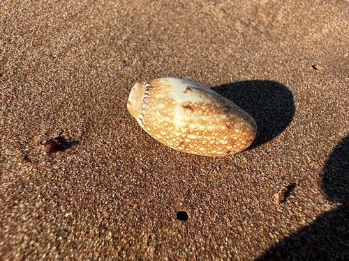
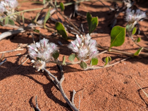
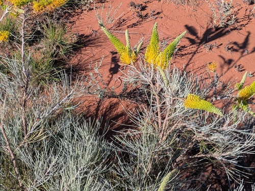
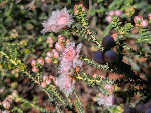
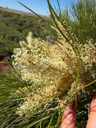
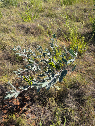
Research-grade observations from iNaturalist (within ~15 mi).
Events
Gallery
Geotagged photos within ~6 miles of Onslow, from Wikimedia Commons contributors.


Photos via Wikimedia Commons — see each image page for license & attribution.
Sources
- • Wikipedia
- • Wikimedia Commons
- • Wikidata
- • USGS Earthquake Catalog (global feed)
- • GBIF (Global Biodiversity Information Facility)
- • iNaturalist
- • Open-Meteo / sunrise-sunset.org
- • Wikipedia Pageviews API
- • Open Library