Browse / Australia / South Australia / Penong
Penong
South Australiatown

Penong
Total population
203
Air quality index
Demographic figures from Australian Bureau of Statistics. Overview below cites Wikipedia and may reference a different year.
City facts
Facts from Wikidata (CC0).
Overview
Penong is a town and locality on the Nullarbor Plain, in the far west of the Australian state of South Australia located about 616 kilometres (383 mi) north-west of the state capital of Adelaide. It is a popular rest-stop for travellers crossing on the Eyre Highway between Ceduna and Western Australia, 400 km (250 mi) away.
Read more on WikipediaHistory & geography
History
The name Penong is believed to have derived from an Aboriginal name for a rockhole or corruption of an Aboriginal word, poomong, meaning "tea tree". The area surrounding Penong was settled by pastoralists in the late 19th century. The town was proclaimed on 28 April 1892, Rail services were withdrawn in 1997. Boundaries for the locality of Penong were created on 8 February 2001 and include the government town of Penong. Additional land including the Chadinga Conservation Park was added on 26 April 2013.
Excerpted from the corresponding Wikipedia article (CC BY-SA).
Geography
Coordinates & boundaries from the US Census TIGER/Line shapefiles.
Climate
10-year averages from ERA5 reanalysis (Open-Meteo).
Air quality
Current readings from Open-Meteo Air Quality API (Copernicus CAMS European reanalysis).
Walkability
Amenities nearby
Wildlife & biodiversity
Most-observed species
- Silver GullChroicocephalus novaehollandiae (Stephens, 1826) · Aves42
- European StarlingSturnus vulgaris Linnaeus, 1758 · Aves41
- Yellow-throated MinerManorina flavigula (Gould, 1840) · Aves34
- Welcome SwallowHirundo neoxena Gould, 1842 · Aves29
- Australian KestrelFalco cenchroides Vigors & Horsfield, 1827 · Aves25
- Singing HoneyeaterGavicalis virescens (Vieillot, 1817) · Aves20
- Red-necked StintCalidris ruficollis (Pallas, 1776) · Aves18
- Sharp-tailed SandpiperCalidris acuminata (Horsfield, 1821) · Aves18
Citizen-science & research observations from the Global Biodiversity Information Facility (GBIF).
Earthquake history
Events from the USGS Earthquake Catalog (global) (FDSN Event Web Service).
Photos
Sights & places nearby
Notable people from here
Nearby places in South Australia
- Koonibba Aboriginal Community24.4 mi away
- Fowlers Bay33.9 mi away · pop. 40
- Denial Bay35.3 mi away · pop. 94
- Yarilena38.5 mi away · pop. 63
- Koongawa Dundee44.7 mi away · pop. 11
- Nundroo47.1 mi away
- Smoky Bay62.2 mi away · pop. 162
- Yalata75.3 mi away · pop. 302
- Jacinth Ambrosia Village86.5 mi away
- Pimbaacia89 mi away
- Petina89.2 mi away
- Streaky Bay92.2 mi away · pop. 967
Geography & sun
Elevation, sunrise/sunset and daylight from Open-Meteo. Solar climatology from NASA POWER.
Nearby airports
Public attention
Pageview totals from the Wikimedia Pageviews API.
Books about this place
Recent natural events nearby
Ground air-quality sensors
Recently spotted species
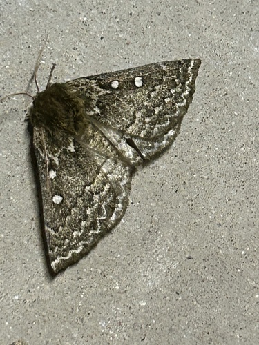
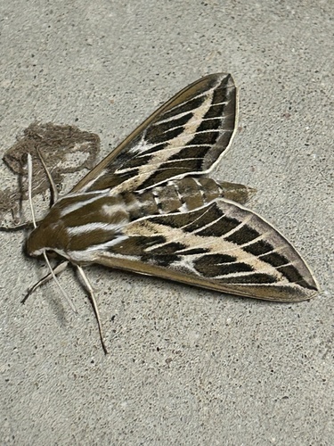
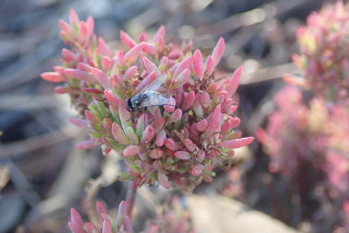
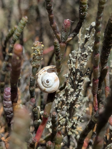
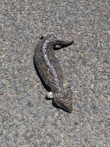
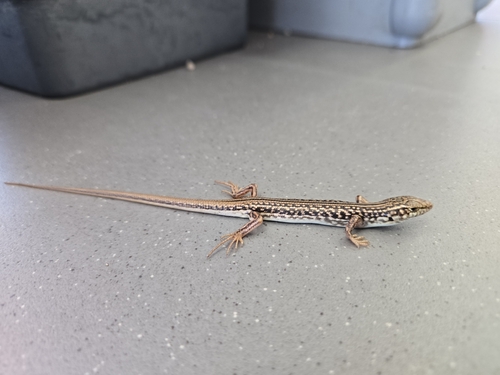
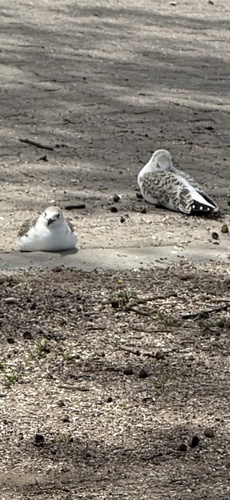

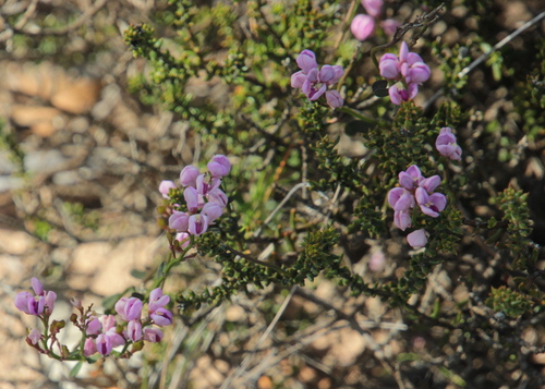
Research-grade observations from iNaturalist (within ~15 mi).
Events
Gallery
Geotagged photos within ~6 miles of Penong, from Wikimedia Commons contributors.
 0 mi
0 mi.jpg) 0.1 mi
0.1 mi.jpg) 0.1 mi
0.1 mi 0.2 mi
 0.2 mi
 0.2 mi
 0.2 mi
 0.2 mi
 0.2 mi
 0.2 mi
 0.2 mi
 0.2 mi
 5 mi
5 mi 5 mi
5 mi 5 mi
5 mi 5.6 mi
 5.6 mi
 5.6 mi
Photos via Wikimedia Commons — see each image page for license & attribution.
Official Identifiers
ABS — Australian Bureau of Statistics
- ASGS 2021
- SAL41138
- Population (Wikidata)
- 280
- Wikidata
- Q7164535
ASGS 2021 ID via Wikidata P10112
Sources
- • Wikipedia
- • Open-Meteo (ERA5 reanalysis)
- • Wikimedia Commons
- • Wikidata
- • Open-Meteo Air Quality (CAMS)
- • USGS Earthquake Catalog (global feed)
- • GBIF (Global Biodiversity Information Facility)
- • iNaturalist
- • Open-Meteo / sunrise-sunset.org
- • Wikipedia Pageviews API
- • ABS — Australian Bureau of Statistics — ASGS 2021 ID via Wikidata P10112