Browse / Australia / Queensland / Ropeley
Ropeley
Queenslandhamlet

Ropeley
Demographic figures from Australian Bureau of Statistics. Overview below cites Wikipedia and may reference a different year.
City facts
Overview
Ropeley is a rural locality in the Lockyer Valley Region, Queensland, Australia. In the 2021 census, Ropeley had a population of 206 people.
Read more on WikipediaHistory & geography
History
The Deep Gully Provisional School opened in 1890 and in 1892 was renamed Ropeley Provisional School. On 2 September 1901, it became Ropeley State School. The school celebrated its centenary in 1990. Ropeley East State School opened on 4 May 1915 as an "open air school" (a tent-like structure). At some time after the closure of Rockside State School in 1921, its school building was relocated to Ropeley East State School. Ropeley East State School closed in 1955. On Sunday 21 June 1914 the Ropeley Apostolic Church was officially opened and dedicated by Reverend Heinrich Frederick Nieumeyer. The church building was with an vestry and a square porch with a belfry and bell. The land was donated by August Schneider. The church was built by Mr L. Roberts for £140 with volunteers assisting with the carting. The altar was built from cedar by Mr Laffey of Left-Hand Branch, Mount Sylvia, to a design by Mr Roth of Laidley.
Geography
Ropeley East is a neighbourhood in the east of the locality ().
Excerpted from the corresponding Wikipedia article (CC BY-SA).
Geography
Coordinates & boundaries from the US Census TIGER/Line shapefiles.
Climate
Air quality
Walkability
Amenities nearby
Wildlife & biodiversity
Most-observed species
- Willie-wagtailRhipidura leucophrys (Latham, 1802) · Aves2,965
- Pacific Black DuckAnas superciliosa J.F.Gmelin, 1789 · Aves2,906
- Australasian GrebeTachybaptus novaehollandiae (Stephens, 1826) · Aves2,860
- Magpie-larkGrallina cyanoleuca (Latham, 1802) · Aves2,823
- Gray TealAnas gracilis Buller, 1869 · Aves2,408
- Noisy MinerManorina melanocephala (Latham, 1801) · Aves2,364
- Torresian CrowCorvus orru Bonaparte, 1850 · Aves2,336
- Masked LapwingVanellus miles (Boddaert, 1783) · Aves2,331
Citizen-science & research observations from the Global Biodiversity Information Facility (GBIF).
Earthquake history
Events from the USGS Earthquake Catalog (global) (FDSN Event Web Service).
Photos
Sights & places nearby
Notable people from here


People born within ~10 km, from Wikidata (CC0). Click any name for their Wikipedia article.
Nearby places in Queensland
Geography & sun
Elevation, sunrise/sunset and daylight from Open-Meteo. Solar climatology from NASA POWER.
Nearby airports
Public attention
Pageview totals from the Wikimedia Pageviews API.
Books about this place
Recent natural events nearby
Ground air-quality sensors
Recently spotted species
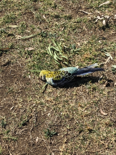
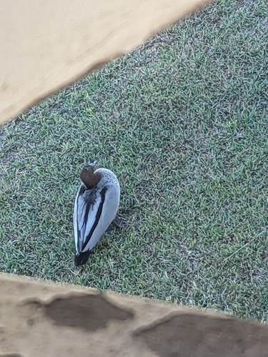
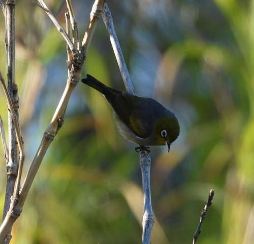
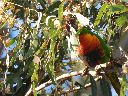
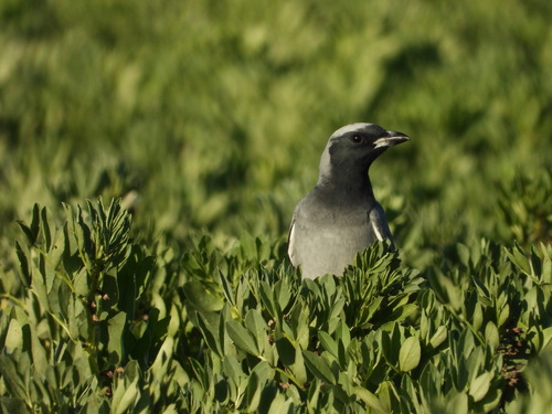
Research-grade observations from iNaturalist (within ~15 mi).
Events
Gallery
Official Identifiers
ABS — Australian Bureau of Statistics
- ASGS 2021
- SAL32466
- Population (Wikidata)
- 194
- Wikidata
- Q19878108
ASGS 2021 ID via Wikidata P10112
Sources
- • Wikipedia
- • Wikidata
- • USGS Earthquake Catalog (global feed)
- • GBIF (Global Biodiversity Information Facility)
- • iNaturalist
- • Open-Meteo / sunrise-sunset.org
- • Wikipedia Pageviews API
- • ABS — Australian Bureau of Statistics — ASGS 2021 ID via Wikidata P10112