Browse / United States / California / Chino
Chino
Californiacity

Chino
Total population
94,006
Median home value
$708,000
Bachelor's+
Median income
$97,461
Founded
1910
Air quality index
Demographic figures from US Census Bureau · ACS 5-year estimates. Overview below cites Wikipedia and may reference a different year.
City facts
Facts from Wikidata (CC0).
Overview
Chino is a city in the western end of San Bernardino County, California, United States, with Los Angeles County to its west and Orange County to its south in the Southern California region.
Read more on WikipediaHistory & geography
History
The Tongva had a settlement called Wapijangna in the Santa Ana River watershed. Some residents of Wapijanga were baptized at Mission San Gabriel, which was established in 1771. The Spanish crown claimed the land until Mexican independence was finalized and possession fell to the Mexican government. Some twenty years later, Mexican governor of Alta California Juan Bautista Alvarado granted Rancho Santa Ana del Chino to Antonio Maria Lugo of the Lugo family. Two years later, his successor, Governor Micheltorena, granted an additional three leagues to Lugo's son-in-law Isaac Williams, who took charge of the rancho. Williams kept large quantities of horses and cattle, which attracted the envy of raiding Native Americans as well as unscrupulous whites. One of the latter was James Beckwourth, who, in 1840, posed as an otter hunter and stayed at Rancho Chino to determine the location of the area's animals, which he then reported to Walkara, the Ute mastermind of the raids. Early in the Mexican–American War, the Battle of Chino took place at Williams' rancho. The battle ended prior to the arrival of the Mormon Battalion, dispatched on behalf of the United States, who instead labored in the rancho's agricultural harvest and constructed a grist mill. During the California Gold Rush, the rancho was a popular stopover for travelers, and in the mining fury, coal was discovered there. In 1850, California was admitted to the union, and the process of separating privately held lands from the public domain began. The Williams claim to the Chino Rancho was patented in 1869. Richard Gird was the next owner of the Rancho. Beginning in 1887, his land was subdivided and laid out. It became the "Town of Chino", and incorporated into a city in 1910. Sugar beets, corn, and alfalfa were…
Geography
According to the United States Census Bureau, the city has a total area of . of it is land and 0.04% is water. * Chino is a suburb in San Bernardino County, located from the county seat, San Bernardino. * Los Angeles, * Riverside, * Santa Ana, * Anaheim, According to the Köppen Climate Classification system, Chino has a hot-summer Mediterranean climate, abbreviated "Csa" on climate maps. Chino has long, hot summers with cool to mild mornings and short, mild, and wet winters with chilly mornings usually in the 40s. Precipitation peaks during the month of February.
Excerpted from the corresponding Wikipedia article (CC BY-SA).
Demographics & economy
Race & ethnicity
Source: US Census Bureau — American Community Survey, 5-year estimates.
Geography
Coordinates & boundaries from the US Census TIGER/Line shapefiles.
Climate
10-year averages from ERA5 reanalysis (Open-Meteo).
Current forecast
Forecast for Chino, CA from NOAA NWS API.
Air quality
Current readings from Open-Meteo Air Quality API (Copernicus CAMS European reanalysis).
Industrial & pollution facilities
Natural hazard risk
Health (adults)
Walkability
Amenities nearby
Wildlife & biodiversity
Most-observed species
- House FinchHaemorhous mexicanus (P.L.Statius Müller, 1776) · Aves25,367
- Black PhoebeSayornis nigricans (Swainson, 1827) · Aves21,256
- Mourning DoveZenaida macroura (Linnaeus, 1758) · Aves19,763
- Lesser GoldfinchSpinus psaltria (Say, 1822) · Aves19,113
- American CrowCorvus brachyrhynchos C.L.Brehm, 1822 · Aves18,130
- Anna's HummingbirdCalypte anna (R.Lesson, 1829) · Aves18,080
- California TowheeMelozone crissalis (Vigors, 1839) · Aves17,188
- Northern MockingbirdMimus polyglottos (Linnaeus, 1758) · Aves15,783
Citizen-science & research observations from the Global Biodiversity Information Facility (GBIF).
Schools
Earthquake history
Most recent
- M 2.82 — 2026-06-097 km SE of Loma Linda, CA
- M 3.18 — 2026-06-097 km SE of Loma Linda, CA
- M 2.54 — 2026-06-031 km E of San Jacinto, CA
- M 2.93 — 2026-05-268 km S of Malibu Beach, CA
- M 2.66 — 2026-05-194 km W of Manhattan Beach, CA
- M 3.29 — 2026-05-091 km SE of Muscoy, CA
Events from the USGS Earthquake Catalog (global) (FDSN Event Web Service).
Photos
Sights & places nearby
Notable people from here


People born within ~10 km, from Wikidata (CC0). Click any name for their Wikipedia article.
Nearby places in California
- Coronita7.6 mi away
- Brea12.4 mi away · pop. 47,325
- El Sobrante13.4 mi away
- Charter Oak14.3 mi away
- Bloomington15.7 mi away
- Citrus16.3 mi away
- Azusa18.3 mi away · pop. 50,000
- East Whittier19.3 mi away
- Avocado Heights19.9 mi away
- Duarte21 mi away · pop. 21,727
- Bradbury21.5 mi away
- Cypress24.5 mi away · pop. 50,151
Geography & sun
Elevation, sunrise/sunset and daylight from Open-Meteo. Solar climatology from NASA POWER.
Nearby airports
Public attention
Pageview totals from the Wikimedia Pageviews API.
Books about Chino

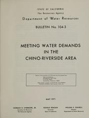
Search results from Open Library.
Recent natural events nearby
- BAIN Wildfire, Riverside, CaliforniaWildfires · 2026-05-19 · 9 mi
- SHORE Wildfire, Riverside, CaliforniaWildfires · 2026-06-15 · 32 mi
- VERONA Wildfire, Riverside, CaliforniaWildfires · 2026-05-19 · 36 mi
- SANDY Wildfire, Ventura, CaliforniaWildfires · 2026-05-18 · 65 mi
- NEURALIA Wildfire, Kern, CaliforniaWildfires · 2026-05-13 · 89 mi
- WYLY Wildfire, Kern, CaliforniaWildfires · 2026-06-13 · 105 mi
- CANYON Wildfire, Kern, CaliforniaWildfires · 2026-05-07 · 106 mi
- MTZ/SDU/TUSIL Wildfire, San Diego, CaliforniaWildfires · 2026-05-19 · 114 mi
Wildfires, storms and other events from NASA EONET (last 12 months, within 250 mi).
Ground air-quality sensors
Recently spotted species
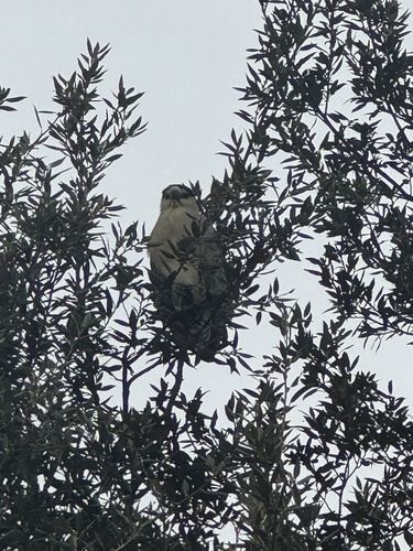
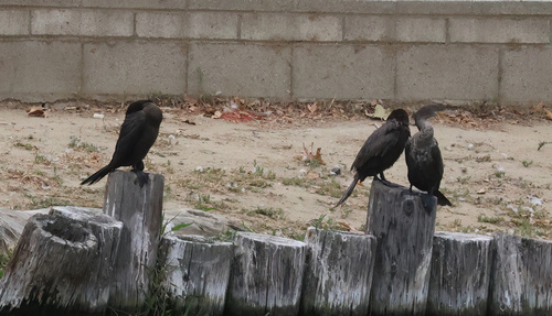
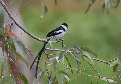
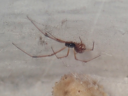
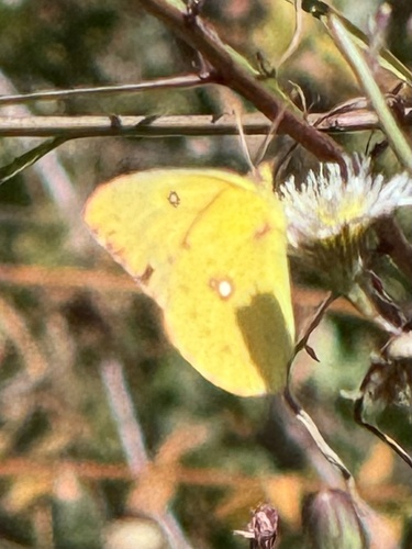
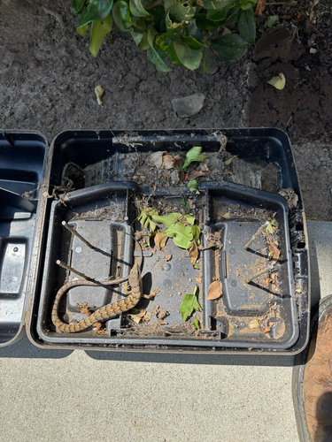
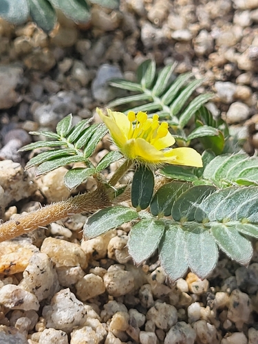
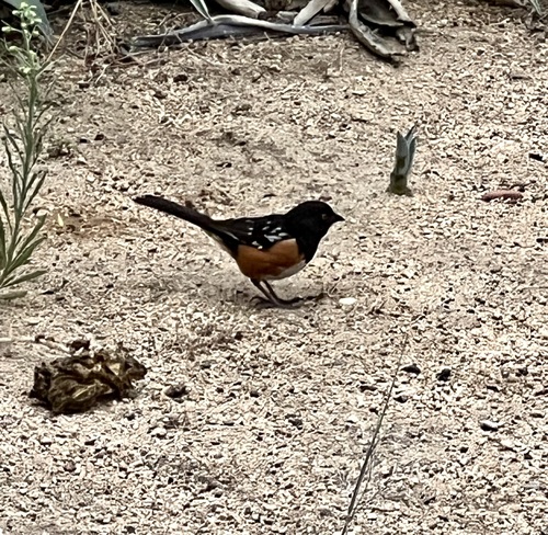
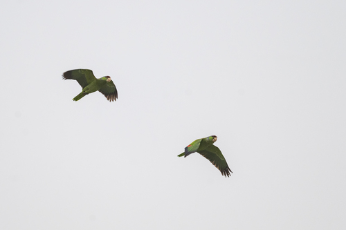
Research-grade observations from iNaturalist (within ~15 mi).
Nearest stream gauge
Live readings from USGS NWIS · measured 2026-06-27 17:45 UTC.
Events
Gallery
Geotagged photos within ~6 miles of Chino, from Wikimedia Commons contributors.
_1049A-55-86_by_Don_Ramey_Logan.jpg) 0.4 mi
0.4 mi_1049A-55-86_b_by_Don_Ramey_Logan.jpg) 0.4 mi
0.4 mi_(25921421886).jpg) 0.6 mi
0.6 mi.jpg) 0.6 mi
0.6 mi.jpg) 0.6 mi
0.6 mi.jpg) 0.6 mi
0.6 mi_(25947313825).jpg) 0.6 mi
0.6 mi.jpg) 0.6 mi
0.6 mi.jpg) 0.6 mi
0.6 mi_(25921437586).jpg) 0.6 mi
0.6 mi.jpg) 0.6 mi
0.6 mi.jpg) 0.6 mi
0.6 mi.jpg) 0.6 mi
0.6 mi.jpg) 0.6 mi
0.6 mi.jpg) 0.6 mi
0.6 mi.jpg) 0.6 mi
0.6 mi.jpg) 0.6 mi
0.6 mi_(25850619712).jpg) 0.6 mi
0.6 mi_(25874910722).jpg) 0.6 mi
0.6 mi_(25665105100).jpg) 0.6 mi
0.6 mi_(25670875970).jpg) 0.6 mi
0.6 mi_(25342729533).jpg) 0.6 mi
0.6 mi_(25900692611).jpg) 0.6 mi
0.6 mi_(25366944803).jpg) 0.6 mi
0.6 miPhotos via Wikimedia Commons — see each image page for license & attribution.
Sources
- • Wikipedia
- • US Census Bureau (ACS 5-year estimates)
- • Open-Meteo (ERA5 reanalysis)
- • NOAA National Weather Service
- • Wikimedia Commons
- • Wikidata
- • Open-Meteo Air Quality (CAMS)
- • USGS Earthquake Catalog (global feed)
- • USGS NWIS (water data)
- • GBIF (Global Biodiversity Information Facility)
- • iNaturalist
- • Open-Elevation
- • Open-Meteo / sunrise-sunset.org
- • Wikipedia Pageviews API
- • Open Library
- • NASA EONET