Browse / United States / California / Covina
Covina
Californiacity

Covina
Total population
49,888
Median home value
$718,900
Bachelor's+
Median income
$98,671
Founded
1882
Air quality index
Demographic figures from US Census Bureau · ACS 5-year estimates. Overview below cites Wikipedia and may reference a different year.
- Red Flag Warning · SevereRed Flag Warning issued October 16 at 5:42PM PDT until October 17 at 8:00PM PDT by NWS Los Angeles/Oxnard CA
Source: NOAA National Weather Service.
City facts
Sister cities
Facts from Wikidata (CC0).
Overview
Covina is a city in the San Gabriel Valley region of Los Angeles County, California, United States, about 22 miles (35 km) east of downtown Los Angeles. The population was 51,268 according to the 2020 census, up from 47,796 at the 2010 census.
Read more on WikipediaHistory & geography
History
Present-day Covina was originally within the homelands of the indigenous Tongva people for 5,000 to 8,000 years. In the 19th century it became part of Rancho La Puente: an 1842 Mexican land grant in Alta California. In 1876, Costa Rican brothers Pedro and Julián Badilla purchased a tract of land in Rancho La Puente, where Julián and younger brother Antonio intended to establish a coffee plantation. In 1879, after the Badillas defaulted on a mortgage, J. Edward Hollenbeck acquired their tract by foreclosure. In 1881, real estate investor Joseph Swift Phillips entered into an agreement with Hollenbeck to purchase a tract of former Badilla land, where Phillips subsequently founded Covina in 1884. Covina was incorporated in 1901. and in newspapers in December, 1884. Covina's extensive orange and lemon groves of the first half of the 20th century brought prosperity and fame to the city. After World War II, however, the citrus groves were increasingly replaced by housing, eventually turning Covina into the suburban bedroom community it is today. Opened in 1997, the Covina AMC 30 located at Arrow Highway and Azusa Avenue is one of the busiest theatres in the United States. The movie theater was built on the site of a former Sears building and claims to have the largest movie multiplex in Los Angeles County. 2008 marked both the opening and the charter season of the Covina Center for the Performing Arts, a newly remodeled multimillion-dollar theatrical venue in downtown Covina. On December 24, 2008, a shooting and arson occurred. Bruce Jeffrey Pardo, dressed in a Santa Claus costume, entered a Christmas party at his ex-wife's residence and opened fire. When he left, nine family members were dead and the house was engulfed in flames. After the massacre, Pardo drove his…
Geography
The only freeway that passes through the area is a very small stretch of Interstate 10. Covina is centered in the midst of Interstate 210 (Foothill Freeway) to the north, Interstate 605 (San Gabriel River Freeway) to the west, State Route 57 (Orange Freeway) to the east, and Interstate 10 to the south. The Southern Pacific Railroad, which reached Covina in 1895, and the Metrolink San Bernardino Line pass through the city just north of the downtown area. The city is served by Covina station.The town is located at the foot of the San Gabriel Mountains in the San Gabriel Valley. |date=June 2020}}
Excerpted from the corresponding Wikipedia article (CC BY-SA).
Demographics & economy
Race & ethnicity
Source: US Census Bureau — American Community Survey, 5-year estimates.
Geography
Coordinates & boundaries from the US Census TIGER/Line shapefiles.
Climate
Current forecast
Forecast for Covina, CA from NOAA NWS API.
Air quality
Current readings from Open-Meteo Air Quality API (Copernicus CAMS European reanalysis).
Industrial & pollution facilities
Natural hazard risk
Health (adults)
Age-adjusted prevalence estimates from CDC PLACES (latest release).
Walkability
Amenities nearby
Wildlife & biodiversity
Most-observed species
- House FinchHaemorhous mexicanus (P.L.Statius Müller, 1776) · Aves41,147
- Mourning DoveZenaida macroura (Linnaeus, 1758) · Aves34,956
- Lesser GoldfinchSpinus psaltria (Say, 1822) · Aves31,637
- California TowheeMelozone crissalis (Vigors, 1839) · Aves31,500
- Black PhoebeSayornis nigricans (Swainson, 1827) · Aves31,241
- Anna's HummingbirdCalypte anna (R.Lesson, 1829) · Aves30,002
- Northern MockingbirdMimus polyglottos (Linnaeus, 1758) · Aves29,951
- Yellow-rumped WarblerSetophaga coronata (Linnaeus, 1766) · Aves25,706
Citizen-science & research observations from the Global Biodiversity Information Facility (GBIF).
Schools
Largest nearby schools
- Arcadia HighHigh · Arcadia · 3,022 students · 25:1 ratio
- Diamond Bar HighHigh · Diamond Bar · 2,557 students · 26.6:1 ratio
- Options For Youth - Duarte IncHigh · City Of Industry · 2,354 students · 28:1 ratio
- Glendora HighHigh · Glendora · 2,273 students · 25:1 ratio
- Claremont HighHigh · Claremont · 2,256 students · 24.8:1 ratio
- Walnut HighHigh · Walnut · 2,158 students · 23.2:1 ratio
- John A. Rowland HighHigh · Rowland Heights · 2,025 students · 24.4:1 ratio
- West Covina HighHigh · West Covina · 1,887 students · 21.4:1 ratio
Public K–12 schools within ~10 mi from Urban Institute Education Data Portal (NCES Common Core of Data, 2022).
Earthquake history
Most recent
- M 2.82 — 2026-06-097 km SE of Loma Linda, CA
- M 3.18 — 2026-06-097 km SE of Loma Linda, CA
- M 2.54 — 2026-06-031 km E of San Jacinto, CA
- M 2.93 — 2026-05-268 km S of Malibu Beach, CA
- M 2.66 — 2026-05-194 km W of Manhattan Beach, CA
- M 3.29 — 2026-05-091 km SE of Muscoy, CA
Events from the USGS Earthquake Catalog (global) (FDSN Event Web Service).
Photos
Sights & places nearby
Notable people from here


People born within ~10 km, from Wikidata (CC0). Click any name for their Wikipedia article.
Nearby places in California
- San Dimas4.4 mi away · pop. 33,789
- La Puente5.7 mi away · pop. 37,142
- Duarte6.2 mi away · pop. 22,184
- Avocado Heights7.5 mi away
- North El Monte8.2 mi away
- Rowland Heights8.3 mi away · pop. 45,911
- East Pasadena11.6 mi away
- East Whittier13 mi away
- San Marino13.4 mi away
- San Antonio Heights13.6 mi away
- Commerce16.7 mi away · pop. 11,993
- East Los Angeles16.9 mi away
Geography & sun
Elevation, sunrise/sunset and daylight from Open-Meteo. Solar climatology from NASA POWER.
Nearby airports
Public attention
Pageview totals from the Wikimedia Pageviews API.
Books about Covina
Search results from Open Library.
Recent natural events nearby
- Wildfire RIDGE, Los Angeles, CaliforniaWildfires · 2026-08-07 · 73 mi
- Wildfire BUZZARD, Kern, CaliforniaWildfires · 2026-08-05 · 81 mi
- Wildfire PLAINS, San Luis Obispo, CaliforniaWildfires · 2026-08-12 · 151 mi
- Prescribed Fire CRAWFORD CORRAL RX, Tulare, CaliforniaWildfires · 2026-09-19 · 184 mi
- Wildfire Plaskett, Monterey, CaliforniaWildfires · 2026-08-26 · 236 mi
Wildfires, storms and other events from NASA EONET (last 12 months, within 250 mi).
Ground air-quality sensors
Recently spotted species
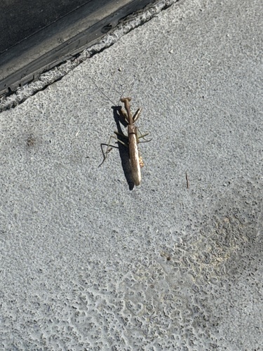
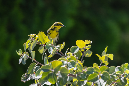
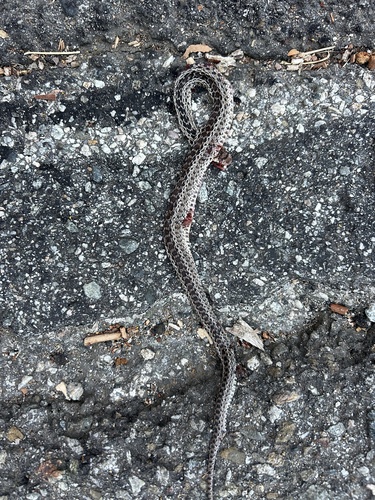
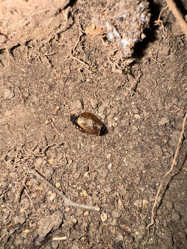
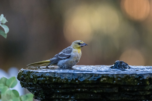
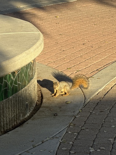
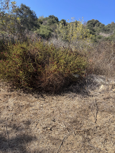
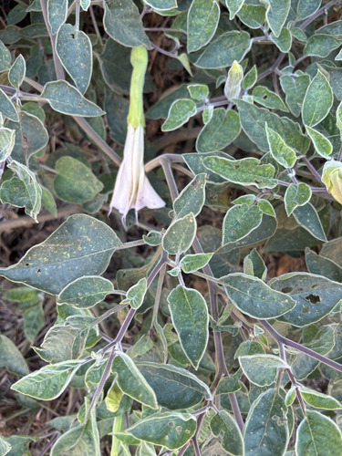
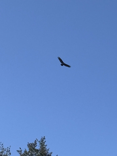
Research-grade observations from iNaturalist (within ~15 mi).
Nearest stream gauge
Events
Gallery
Geotagged photos within ~6 miles of Covina, from Wikimedia Commons contributors.
 0.4 mi
 0.4 mi
 0.4 mi
 0.5 mi
 0.6 mi
 0.8 mi
 1.1 mi
 1.1 mi
 1.1 mi
 1.1 mi
 1.1 mi
 1.1 mi
 1.2 mi
 1.2 mi
.jpg) 1.2 mi
1.2 mi.jpg) 1.2 mi
1.2 mi.jpg) 1.2 mi
1.2 mi.jpg) 1.2 mi
1.2 mi 1.2 mi
 1.2 mi
 1.2 mi
 1.2 mi
 1.2 mi
 1.2 mi
Photos via Wikimedia Commons — see each image page for license & attribution.
Sources
- • Wikipedia
- • US Census Bureau (ACS 5-year estimates)
- • NOAA National Weather Service
- • Wikimedia Commons
- • Wikidata
- • Open-Meteo Air Quality (CAMS)
- • USGS Earthquake Catalog (global feed)
- • NCES via Urban Institute Education Data Portal
- • GBIF (Global Biodiversity Information Facility)
- • iNaturalist
- • CDC PLACES
- • Open-Meteo / sunrise-sunset.org
- • Wikipedia Pageviews API
- • Open Library
- • NASA EONET