Browse / United States / California / Diamond Bar
Diamond Bar
Californiacity

Diamond Bar
Total population
53,355
Median home value
$902,200
Bachelor's+
Median income
$108,281
Founded
1989
Demographic figures from US Census Bureau · ACS 5-year estimates. Overview below cites Wikipedia and may reference a different year.
- Red Flag Warning · SevereRed Flag Warning issued October 16 at 5:42PM PDT until October 17 at 8:00PM PDT by NWS Los Angeles/Oxnard CA
Source: NOAA National Weather Service.
City facts
Facts from Wikidata (CC0).
Overview
Diamond Bar is a city in the San Gabriel Valley of eastern Los Angeles County, California, United States. The 2020 census listed a population of 55,072.It is named after the "diamond over a bar" branding iron registered in 1918 by ranch owner Frederic E. Lewis (1884–1963). The city features a public Los Angeles County golf course.
Read more on WikipediaHistory & geography
History
In 1840, José de la Luz Linares received the Mexican land grant Rancho Los Nogales (Ranch of the Walnut Trees) from Governor Juan Alvarado. The land grant included Brea Canyon and the eastern Walnut Valley. Linares died in 1847, and his widow sold a part of the ranch to Ricardo Vejar for $100 in merchandise, 100 calves, and the assumption of her late husband's debts. Vejar also owned the Rancho San Jose to the east, and acquired the rest of Rancho Nogales over the next 10 years. However, Vejar's luck did not last that long. As time wore on – and particularly as the United States government took over California – Rancho Los Nogales was divided and sold into multiple land ranches, the largest of which was the Diamond Bar Ranch. At the time, it was one of the largest working cattle ranches in the western U.S. The entire Diamond Bar Ranch was acquired by the Transamerica Corporation in the 1950s for the purpose of developing one of the nation's first master-planned communities. Transamerica gave the Diamond Bar name to its new community and incorporated the ranch's familiar diamond and bar cattle brand into various logos (many of which are still in use today). The first houses in this development were built in 1959, adjacent to the future location of the Pomona Freeway, which was built through the area ten years later. The town's development and population grew extremely quickly after that. Transamerica oversaw all development of the community through the 1960s. The Transamerica Corporation divested itself of all its real estate ventures in the 1970s and 1980s. As a result, the Diamond Bar project was sold to multiple developers and much of its initial master plan was not implemented during the latter half of its development in the 1980s. The City of Diamond Bar was…
Geography
Diamond Bar's main road, Diamond Bar Boulevard, runs along the bottom of the valley that eventually becomes Brea Canyon, and housing developments overlook the boulevard on both sides from surrounding hills. The city lies roughly between the ends of the Chino Fault and the Whittier Fault, both part of the Elsinore Fault Zone. Positioned in the southeastern corner of the San Gabriel Valley in eastern Los Angeles County, Diamond Bar is approximately east of Downtown Los Angeles. Neighboring communities include Walnut, Rowland Heights, and Pomona. Diamond Bar is also adjacent to the Inland Empire region, with Chino Hills directly to the east, and to the south of Diamond Bar lie the cities of Brea and La Habra in Orange County. According to the United States Census Bureau, the city has a total area of , with no significant bodies of water. Both the CA-60 Freeway and the CA-57 Freeway run through Diamond Bar. the I-10 Freeway is just north of the city and CA-71 is just east of the city. Major thoroughfares include Grand Avenue, Diamond Bar Boulevard, Pathfinder Road, Golden Springs Drive, and Brea Canyon Road.
Excerpted from the corresponding Wikipedia article (CC BY-SA).
Demographics & economy
Race & ethnicity
Source: US Census Bureau — American Community Survey, 5-year estimates.
Geography
Coordinates & boundaries from the US Census TIGER/Line shapefiles.
Climate
10-year averages from ERA5 reanalysis (Open-Meteo).
Current forecast
Forecast for Diamond Bar, CA from NOAA NWS API.
Air quality
Industrial & pollution facilities
Natural hazard risk
Health (adults)
Age-adjusted prevalence estimates from CDC PLACES (latest release).
Walkability
Amenities nearby
Wildlife & biodiversity
Most-observed species
- House FinchHaemorhous mexicanus (P.L.Statius Müller, 1776) · Aves39,048
- Mourning DoveZenaida macroura (Linnaeus, 1758) · Aves32,006
- Black PhoebeSayornis nigricans (Swainson, 1827) · Aves31,729
- Lesser GoldfinchSpinus psaltria (Say, 1822) · Aves30,577
- California TowheeMelozone crissalis (Vigors, 1839) · Aves28,078
- Anna's HummingbirdCalypte anna (R.Lesson, 1829) · Aves27,343
- Northern MockingbirdMimus polyglottos (Linnaeus, 1758) · Aves26,416
- Yellow-rumped WarblerSetophaga coronata (Linnaeus, 1766) · Aves24,149
Citizen-science & research observations from the Global Biodiversity Information Facility (GBIF).
Schools
Largest nearby schools
- Diamond Bar HighHigh · Diamond Bar · 2,557 students · 26.6:1 ratio
- Options For Youth - Duarte IncHigh · City Of Industry · 2,354 students · 28:1 ratio
- Glendora HighHigh · Glendora · 2,273 students · 25:1 ratio
- Claremont HighHigh · Claremont · 2,256 students · 24.8:1 ratio
- Walnut HighHigh · Walnut · 2,158 students · 23.2:1 ratio
- John A. Rowland HighHigh · Rowland Heights · 2,025 students · 24.4:1 ratio
- West Covina HighHigh · West Covina · 1,887 students · 21.4:1 ratio
- Bonita HighHigh · La Verne · 1,883 students · 25.8:1 ratio
Public K–12 schools within ~10 mi from Urban Institute Education Data Portal (NCES Common Core of Data, 2022).
Earthquake history
Most recent
- M 3.81008714964485 — 2026-09-304 km SE of Piru, CA
- M 3.55404092525043 — 2026-09-277 km WSW of Hermosa Beach, CA
- M 2.94 — 2026-09-174 km SSE of Compton, CA
- M 2.56 — 2026-09-1327 km SSE of Malibu, CA
- M 2.65 — 2026-09-124 km E of Lennox, CA
- M 3.31 — 2026-09-1226 km ESE of Avalon, CA
Events from the USGS Earthquake Catalog (global) (FDSN Event Web Service).
Photos
Sights & places nearby
Notable people from here


People born within ~10 km, from Wikidata (CC0). Click any name for their Wikipedia article.
Nearby places in California
- Rowland Heights4.7 mi away · pop. 45,911
- San Dimas7.4 mi away · pop. 33,789
- La Puente8.1 mi away · pop. 37,142
- Avocado Heights10.7 mi away
- East Whittier11.2 mi away
- Duarte13.4 mi away · pop. 22,184
- North El Monte13.7 mi away
- San Antonio Heights14 mi away
- North Tustin16.5 mi away
- Cerritos17.1 mi away · pop. 47,867
- East Pasadena17.6 mi away
- Artesia17.7 mi away
Geography & sun
Elevation, sunrise/sunset and daylight from Open-Meteo. Solar climatology from NASA POWER.
Nearby airports
Public attention
Pageview totals from the Wikimedia Pageviews API.
Books about Diamond Bar
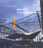

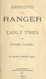



Search results from Open Library.
Recent natural events nearby
- Wildfire BOUQUET, Los Angeles, CaliforniaWildfires · 2026-10-03 · 51 mi
- Wildfire RIDGE, Los Angeles, CaliforniaWildfires · 2026-08-07 · 79 mi
- Wildfire BUZZARD, Kern, CaliforniaWildfires · 2026-08-05 · 88 mi
- Wildfire CYRUS, Kern, CaliforniaWildfires · 2026-10-09 · 122 mi
- Cyclone RachelSevere Storms · 2026-10-11 · 139 mi
- Wildfire PLAINS, San Luis Obispo, CaliforniaWildfires · 2026-08-12 · 158 mi
- Prescribed Fire CRAWFORD CORRAL RX, Tulare, CaliforniaWildfires · 2026-09-19 · 191 mi
- Wildfire Plaskett, Monterey, CaliforniaWildfires · 2026-08-26 · 242 mi
Wildfires, storms and other events from NASA EONET (last 12 months, within 250 mi).
Ground air-quality sensors
Recently spotted species
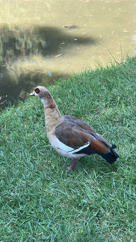
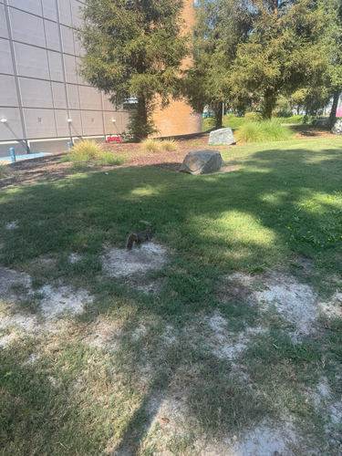
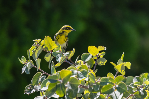
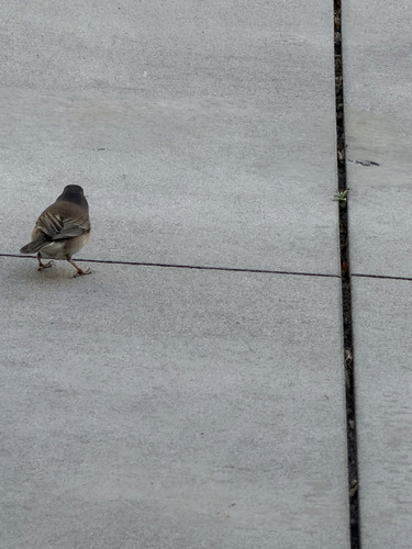
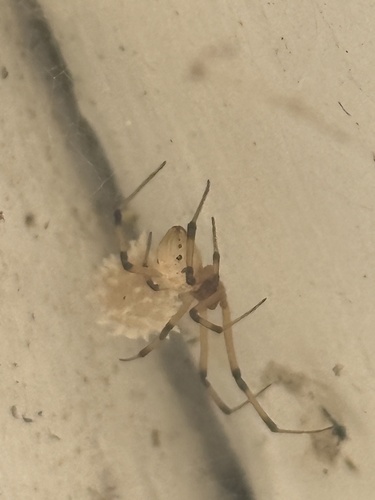
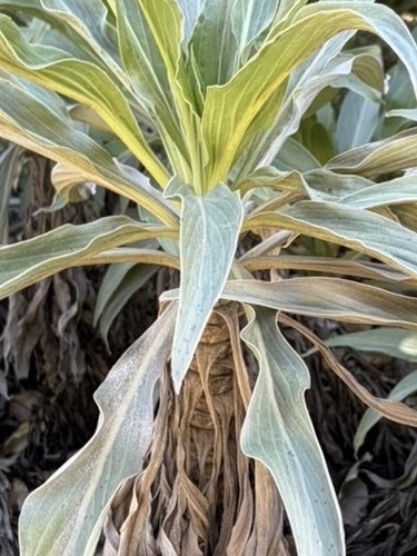
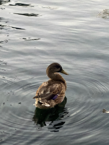
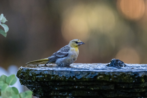
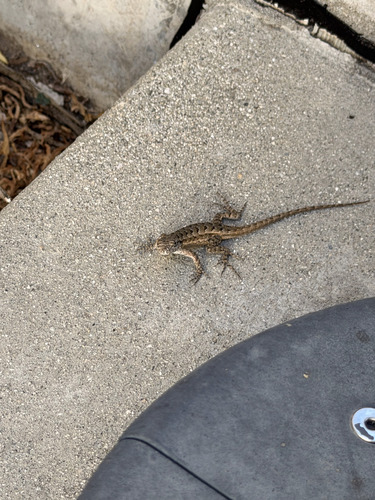
Research-grade observations from iNaturalist (within ~15 mi).
Nearest stream gauge
Events
Gallery
Sources
- • Wikipedia
- • US Census Bureau (ACS 5-year estimates)
- • Open-Meteo (ERA5 reanalysis)
- • NOAA National Weather Service
- • Wikidata
- • USGS Earthquake Catalog (global feed)
- • NCES via Urban Institute Education Data Portal
- • GBIF (Global Biodiversity Information Facility)
- • iNaturalist
- • CDC PLACES
- • Open-Meteo / sunrise-sunset.org
- • Wikipedia Pageviews API
- • Open Library
- • NASA EONET