Browse / Canada / Alberta / Fort McKay
Fort McKay
Albertavillage

Fort McKay
Total population
742
Demographic figures from Statistics Canada. Overview below cites Wikipedia and may reference a different year.
City facts
Facts from Wikidata (CC0).
Overview
Fort McKay or Fort MacKay is a community in northeast Alberta, Canada, located at the confluence of the Athabasca and MacKay rivers. It is approximately 54 km (34 mi) north of Fort McMurray via Highway 63 and Fort McKay Road. The community has an elevation of 260 m (850 ft).
Read more on WikipediaHistory & geography
History
Around 1870, the Hudson's Bay Company founded a post called Old Red River House at the confluence of the Red (now called the MacKay River) and Athabasca rivers. It was also known as the Little Red River post, although another post at the confluence of Little Red River (now the Mikkwa River) and Peace River also went by the same name. The community was renamed in 1912 after Dr. William Morrison MacKay, the first president of the Northern Alberta Medical Association. The change was recognized by the RM on January 22, 2018.
Geography
;Climate Fort McKay has a subarctic climate (Köppen climate classification Dfc). and falls into the NRC Plant Hardiness Zone 3a. Summers are mild and short, and winters can be long and cold.
Excerpted from the corresponding Wikipedia article (CC BY-SA).
Geography
Coordinates & boundaries from the US Census TIGER/Line shapefiles.
Climate
Air quality
Walkability
Amenities nearby
Wildlife & biodiversity
Most-observed species
- White-throated SparrowZonotrichia albicollis (J.F.Gmelin, 1789) · Aves393
- American RobinTurdus migratorius Linnaeus, 1766 · Aves343
- Tennessee WarblerLeiothlypis peregrina (A.Wilson, 1811) · Aves319
- Common RavenCorvus corax Linnaeus, 1758 · Aves315
- Gray JayPerisoreus canadensis (Linnaeus, 1766) · Aves314
- Chipping SparrowSpizella passerina (Bechstein, 1798) · Aves269
- Swainson's ThrushCatharus ustulatus (Nuttall, 1840) · Aves265
- OvenbirdSeiurus aurocapilla (Linnaeus, 1766) · Aves251
Citizen-science & research observations from the Global Biodiversity Information Facility (GBIF).
Earthquake history
Events from the USGS Earthquake Catalog (global) (FDSN Event Web Service).
Photos
Sights & places nearby
Notable people from here

People born within ~10 km, from Wikidata (CC0). Click any name for their Wikipedia article.
Nearby places in Alberta
- Anzac55.1 mi away · pop. 548
- Janvier South96.4 mi away · pop. 100
- Wabasca-Desmarais118.4 mi away
- Garden River133.7 mi away · pop. 706
- Amesbury148.9 mi away
- North Tallcree159.4 mi away · pop. 225
- Lac La Biche167.3 mi away
- Beaver Lake167.7 mi away
- Grassland168.1 mi away
- Dakin168.6 mi away
- Deep Creek Hutterite Colony169.6 mi away
- Marten Beach Subdivision171 mi away
Geography & sun
Elevation, sunrise/sunset and daylight from Open-Meteo. Solar climatology from NASA POWER.
Nearby airports
Public attention
Pageview totals from the Wikimedia Pageviews API.
Books about Fort McKay
Search results from Open Library.
Recent natural events nearby
Ground air-quality sensors
Recently spotted species
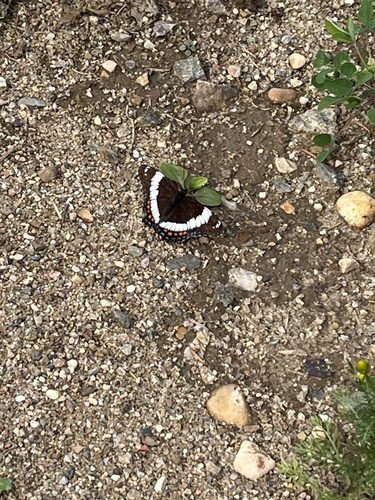
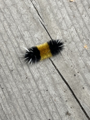
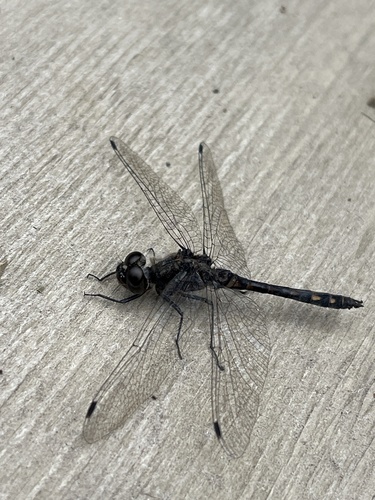
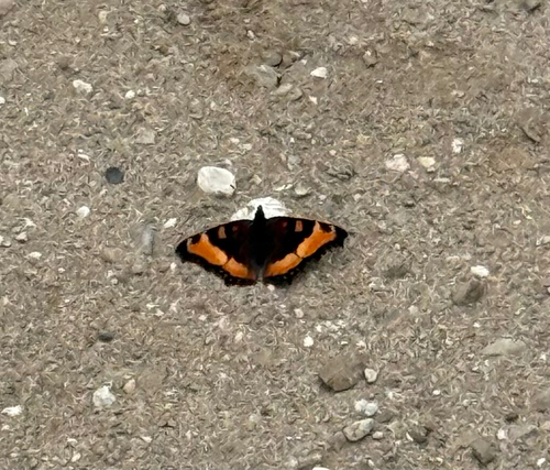
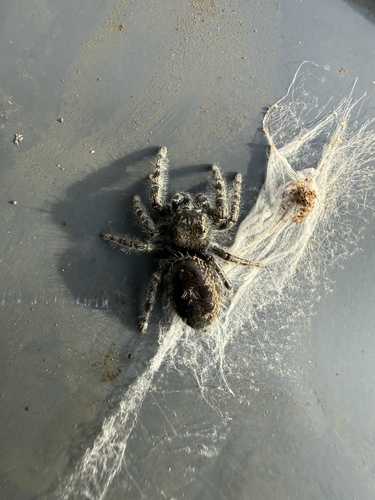
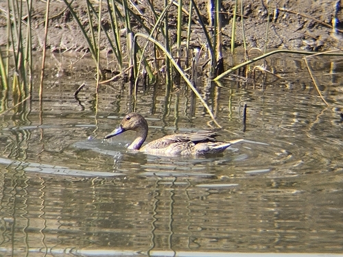
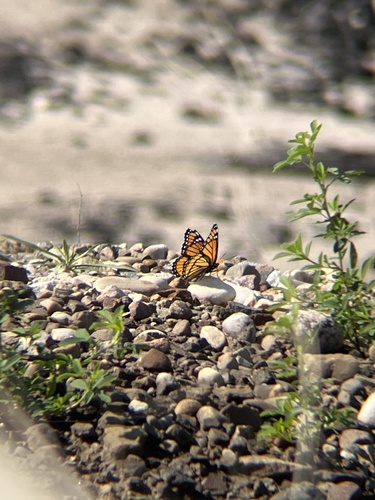
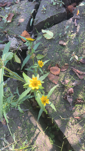
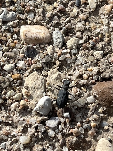
Research-grade observations from iNaturalist (within ~15 mi).
Events
Gallery
Official Identifiers
StatCan — Statistics Canada
- SGC code
- 4816859
- Population (Wikidata)
- 742
- Wikidata
- Q125867
Standard Geographical Classification (SGC) via Wikidata P3012
Sources
- • Wikipedia
- • Wikidata
- • USGS Earthquake Catalog (global feed)
- • GBIF (Global Biodiversity Information Facility)
- • iNaturalist
- • Open-Meteo / sunrise-sunset.org
- • Wikipedia Pageviews API
- • Open Library
- • StatCan — Statistics Canada — Standard Geographical Classification (SGC) via Wikidata P3012