Browse / Canada / Nunavut / ᐊᐅᔪᐃᑦᑐᖅ Grise Fiord
ᐊᐅᔪᐃᑦᑐᖅ Grise Fiord
Nunavutvillage

ᐊᐅᔪᐃᑦᑐᖅ Grise Fiord
Founded
1953
Demographic figures from Statistics Canada. Overview below cites Wikipedia and may reference a different year.
City facts
Facts from Wikidata (CC0).
Overview
Grise Fiord is an Inuit hamlet on the southern tip of Ellesmere Island, in the Qikiqtaaluk Region, Nunavut, Canada. It is one of three populated places on the island; despite its low population, it is the largest community on Ellesmere Island. Created by the Canadian Government in 1953 through a forced relocation of Inuit families from Inukjuak, Quebec, it is Canada's northernmost public community. It is also one of the coldest inhabited places in the world, with an average yearly temperature of −16.5 °C (2.3 °F).
Read more on WikipediaHistory & geography
History
This community (and that of Resolute) was created by the Canadian government in 1953, partly to assert sovereignty in the High Arctic during the Cold War. Eight Inuit families from Inukjuak, Quebec (on the Ungava Peninsula), were relocated after being promised homes and game to hunt, but the relocated people discovered no buildings and very little familiar wildlife. They were told that they would be returned home after "two or three years" if they wished. This offer was later withdrawn however, for it would have damaged Canada's claims to sovereignty in the area; the Inuit were forced to stay. Eventually, the Inuit learned the local beluga whale migration routes and were able to survive in the area, hunting over a range of each year. In 1993, the Canadian government held hearings to investigate the relocation program. The Royal Commission on Aboriginal Peoples issued a report entitled The High Arctic Relocation: A Report on the 1953–55 Relocation, recommending a settlement. The government paid CAD10 million to the survivors and their families, and gave a formal apology in 2010. In 2009, artist and Grise Fiord resident, Looty Pijamini, was commissioned by Nunavut Tunngavik Incorporated to build a monument to commemorate the Inuit who sacrificed so much as a result of the Government's forced relocation programme of 1953 and 1955. Pijamini's monument, located in Grise Fiord, depicts a woman with a young boy and a husky, with the woman sombrely looking out towards Resolute Bay towards the companion monument carved by Simeonie Amagoalik. The Resolute monument depicts a lone man looking towards Grise Fiord. This was meant to show separated families, and depict them longing to see each other again. The Grise Fiord monument was unveiled by John Duncan, at the time, Minister…
Geography
Located at the southern tip of Ellesmere Island, Grise Fiord is one of three permanently inhabited places on the island. Farther north on the island, Environment Canada has a permanent weather station at Eureka, and at Alert there is a permanent Canadian Forces Base (CFS Alert) and weather station. Grise Fiord lies north of the Arctic Circle, and is the northernmost civilian community in Canada. Grise Fiord is cradled by the Arctic Cordillera mountain range. Grise Fiord has a tundra climate (Köppen: ETf; Trewartha: Ftkd) with very short, cool summers and long, cold winters lasting almost the entire year.
Excerpted from the corresponding Wikipedia article (CC BY-SA).
Geography
Coordinates & boundaries from the US Census TIGER/Line shapefiles.
Climate
Air quality
Walkability
Amenities nearby
Wildlife & biodiversity
Earthquake history
Photos
Sights & places nearby
Notable people from here
Nearby places in Nunavut
- Craig Harbour34.2 mi away
- Dundas Harbour130.7 mi away
- ᖃᐅᓱᐃᑦᑐᖅ Resolute237 mi away · pop. 214
- ᐃᒃᐱᐊᕐᔪᒃ Arctic Bay237.6 mi away · pop. 690
- Eureka250.4 mi away · pop. 8
- ᒥᑦᑎᒪᑕᓕᒃ Pond Inlet272.5 mi away · pop. 1,617
- Milne Inlet315.5 mi away
- Shimik353.5 mi away
- Mary River359.3 mi away
- Fort Ross370.4 mi away
- Saputit380.8 mi away
- Camp Hazen401 mi away
Geography & sun
Elevation, sunrise/sunset and daylight from Open-Meteo. Solar climatology from NASA POWER.
Nearby airports
Public attention
Pageview totals from the Wikimedia Pageviews API.
Books about this place
Recent natural events nearby
Ground air-quality sensors
Recently spotted species
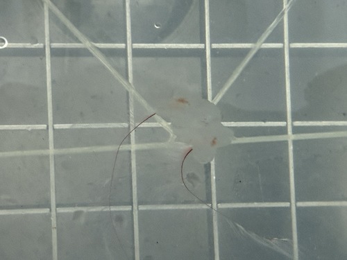
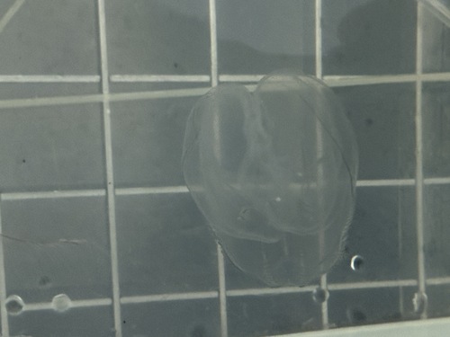
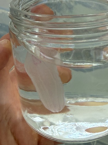
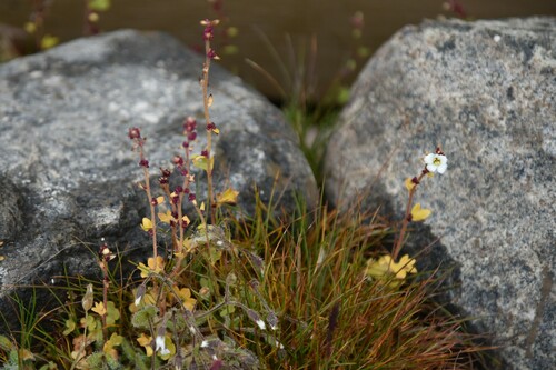
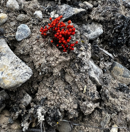
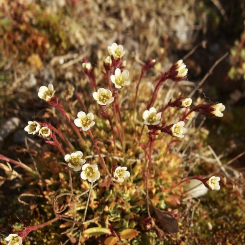
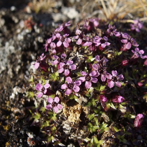
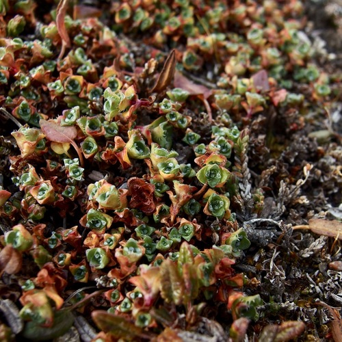
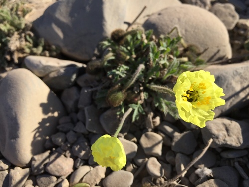
Research-grade observations from iNaturalist (within ~15 mi).
Events
Gallery
Official Identifiers
StatCan — Statistics Canada
- SGC code
- 6204025
- Population (Wikidata)
- 129
- Wikidata
- Q276115
Standard Geographical Classification (SGC) via Wikidata P3012
Sources
- • Wikipedia
- • Wikidata
- • iNaturalist
- • Open-Meteo / sunrise-sunset.org
- • Wikipedia Pageviews API
- • StatCan — Statistics Canada — Standard Geographical Classification (SGC) via Wikidata P3012