Browse / Canada / Nunavut / ᖃᐅᓱᐃᑦᑐᖅ Resolute
ᖃᐅᓱᐃᑦᑐᖅ Resolute
Nunavutvillage

ᖃᐅᓱᐃᑦᑐᖅ Resolute
Total population
214
Demographic figures from Statistics Canada. Overview below cites Wikipedia and may reference a different year.
City facts
Facts from Wikidata (CC0).
Overview
Resolute or Resolute Bay is an Inuit hamlet on Cornwallis Island in Nunavut, Canada. It is at the northern end of Resolute Bay and the Northwest Passage and is part of the Qikiqtaaluk Region.
Read more on WikipediaHistory & geography
History
The area shows evidence of being occupied sporadically by the Dorset culture (Tuniit) and later the Thule people from as early as 1500 BCE until 1000 CE. However, modern Inuit did not occupy or use the area until the 1953 High Arctic relocation. In 1947, Canada and the United States built a weather station, Resolute Weather Station, and an airstrip as part of the Joint Arctic Weather Stations: known today as the High Arctic Weather Stations. This was followed in 1949 by a Royal Canadian Air Force base, RCAF Station Resolute Bay. They also had to endure weeks of 24-hour darkness during the winter, and 24-hour sunlight during the summer: something that does not occur in northern Quebec. They were told that they would be returned home after "two or three years" if they wished. However, this offer was later withdrawn as it would have damaged Canada's claims to sovereignty in the area and the Inuit were forced to stay. Eventually, the Inuit learned the local beluga whale migration routes and were able to survive in the area, hunting over a range of each year. In 1993, the Canadian government held hearings to investigate the relocation program, and the following year the Royal Commission on Aboriginal Peoples issued a report entitled The High Arctic Relocation: A Report on the 1953–55 Relocation. The government paid $10 million CAD to the survivors and their families and gave a formal apology in 2008. The community was originally built from the base but, by the 1970s, the number of research people arriving in Resolute was causing problems. Between 1974 and 1975 the community was moved to a location allowing better municipal services, but poorly-sited for hunting purposes.
Geography
Resolute is one of Canada's northernmost communities and is second only to Grise Fiord on Ellesmere Island (Alert and Eureka are more northerly but are not considered towns; rather, military outposts and weather stations). It is also one of the coldest inhabited places in the world, with an average yearly temperature of . Between around April 30 and August 13, Resolute experiences midnight sun; whilst between around November 7 and February 4 there is polar night. Between late November and mid-January, the sun is so low that there is not even civil twilight, with the only exception from complete darkness being a deeper-blue sky called nautical twilight at noon, but there is no true experience of 24 hours of pitch black darkness around noon. For about two weeks before and after the midnight sun in Resolute, the nights are still quite bright since it does not get any darker than civil twilight (this is the twilight where surrounding objects are still visible and outdoor activities can go on without the need for artificial lighting). Resolute, however, does not experience night (the phase of day) from about March 14 to September 29.
Excerpted from the corresponding Wikipedia article (CC BY-SA).
Geography
Coordinates & boundaries from the US Census TIGER/Line shapefiles.
Climate
Air quality
Walkability
Amenities nearby
Wildlife & biodiversity
Most-observed species
- Purple SaxifrageSaxifraga oppositifolia L. · Magnoliopsida72
- Snow BuntingPlectrophenax nivalis (Linnaeus, 1758) · Aves67
- Red-throated LoonGavia stellata (Pontoppidan, 1763) · Aves52
- Common RavenCorvus corax Linnaeus, 1758 · Aves46
- Glaucous GullLarus hyperboreus Gunnerus, 1767 · Aves40
- Regel's chickweedCerastium regelii Ostenf. · Magnoliopsida37
- tufted alpine saxifrageSaxifraga cespitosa L. · Magnoliopsida33
- Arctic TernSterna paradisaea Pontoppidan, 1763 · Aves23
Citizen-science & research observations from the Global Biodiversity Information Facility (GBIF).
Earthquake history
Most recent
- M 4.5 — 2025-01-13Devon Island, Nunavut, Canada
- M 5.2 — 2017-02-10Devon Island, Nunavut, Canada
- M 4.2 — 2017-01-09Devon Island, Nunavut, Canada
- M 5.2 — 2017-01-09Devon Island, Nunavut, Canada
- M 6 — 2017-01-08Devon Island, Nunavut, Canada
- M 4.2 — 2010-05-06Cornwallis Island region, Nunavut, Canada
Events from the USGS Earthquake Catalog (global) (FDSN Event Web Service).
Photos
Sights & places nearby
Notable people from here
Nearby places in Nunavut
- Fort Ross186.1 mi away
- ᐃᒃᐱᐊᕐᔪᒃ Arctic Bay218.1 mi away · pop. 690
- Dundas Harbour228.2 mi away
- ᐊᐅᔪᐃᑦᑐᖅ Grise Fiord237 mi away
- Craig Harbour260.9 mi away
- Shimik305.6 mi away
- Saputit330.5 mi away
- Milne Inlet337.1 mi away
- ᒥᑦᑎᒪᑕᓕᒃ Pond Inlet353.9 mi away · pop. 1,617
- ᑕᓗᕐᔪᐊᕐᒃ Taloyoak357.7 mi away · pop. 500
- Eureka388.8 mi away · pop. 8
- Mary River389.5 mi away
Geography & sun
Elevation, sunrise/sunset and daylight from Open-Meteo. Solar climatology from NASA POWER.
Nearby airports
Public attention
Pageview totals from the Wikimedia Pageviews API.
Books about this place
Recent natural events nearby
Ground air-quality sensors
Recently spotted species
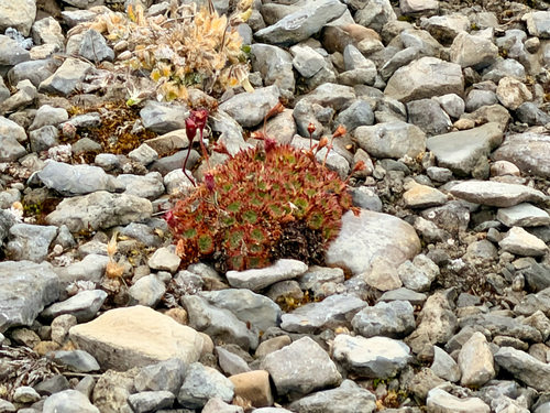
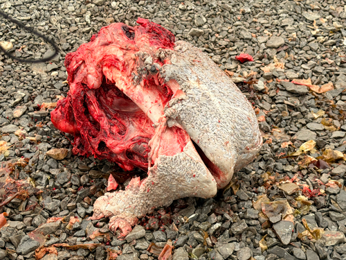
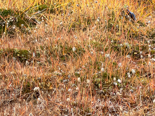
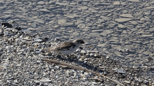
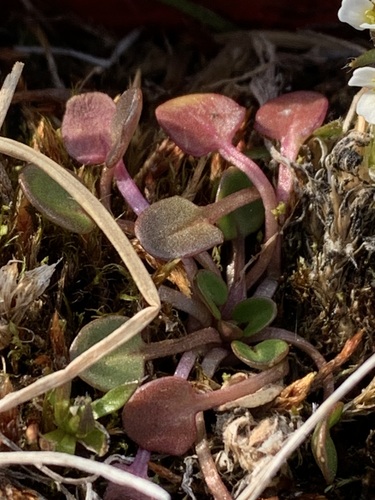
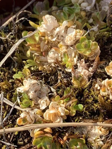
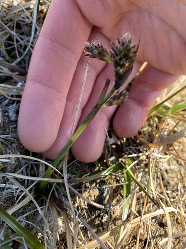
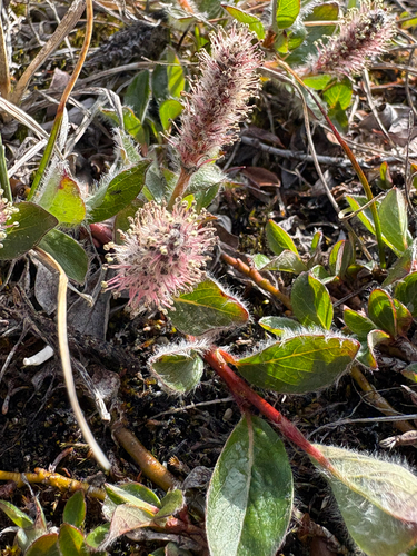
Research-grade observations from iNaturalist (within ~15 mi).
Events
Gallery
Official Identifiers
StatCan — Statistics Canada
- SGC code
- 6204022
- Wikidata
- Q606622
Standard Geographical Classification (SGC) via Wikidata P3012
Sources
- • Wikipedia
- • Wikidata
- • USGS Earthquake Catalog (global feed)
- • GBIF (Global Biodiversity Information Facility)
- • iNaturalist
- • Open-Elevation
- • Open-Meteo / sunrise-sunset.org
- • Wikipedia Pageviews API
- • StatCan — Statistics Canada — Standard Geographical Classification (SGC) via Wikidata P3012