Browse / United States / California / Murrieta
Murrieta
Californiacity

Murrieta
Total population
112,531
Median home value
$677,600
Bachelor's+
Median income
$116,547
Founded
1991
Demographic figures from US Census Bureau · ACS 5-year estimates. Overview below cites Wikipedia and may reference a different year.
- High Wind Warning · SevereHigh Wind Warning issued October 16 at 5:10AM PDT until October 17 at 8:00PM PDT by NWS San Diego CA
Source: NOAA National Weather Service.
City facts
Facts from Wikidata (CC0).
Overview
Murrieta is a city in the Inland Empire region of southwestern Riverside County, California, United States. The population of Murrieta was 110,949 as of the 2020 census. Murrieta experienced a 133.7% population increase between 2000 and 2010, making it one of the fastest-growing cities in the state during that period. Largely residential, Murrieta is typically characterized as a bedroom community. Murrieta is bordered by the city of Temecula to the south, the cities of Menifee and Wildomar to the north, and the unincorporated community of French Valley to the east. Murrieta is at the center of the Los Angeles-San Diego mega-region. Murrieta is named for Juan Murrieta, a Californio ranchero who founded the town.
Read more on WikipediaHistory & geography
History
The Luiseño people founded the village of Avaa7ax or 'Avaa'ax where Murrieta stands today. For most of its history, Murrieta was not heavily populated. On June 9, 1873, Domingo Pujol, Francisco Sanjurjo, and Juan and Ezequiel Murrieta purchased the Rancho Pauba and Rancho Temecula Mexican land grants, comprising in the area. Ezequiel returned to Spain and turned the land over to his younger brother, Juan Murrieta (1844–1936), who brought 7,000 sheep to the valley in 1873, using the meadows to feed his sheep. The partnership dissolved in 1876 and Ezequiel and Juan Murrieta retained 15,000 acres of the northern half of the Temecula Rancho. Ezequiel and Juan Murrieta granted a right-of-way, one hundred feet wide to the California Southern Railroad through the Temecula Rancho on April 28, 1882, so that the railroad could be constructed through the valley. In 1884, the Temecula Land and Water Company purchased about 14,500 acres from Juan Murrieta and mapped a townsite along the California Southern Railroad. Others discovered the valley after the construction of a depot in 1887 that connected Murrieta to the Southern California Railroad's transcontinental route. By 1890, some 800 people lived in Murrieta. Today much of the site (about 50 acres) is home to a Bible college and conference center, owned by Calvary Chapel Costa Mesa, which has invested millions of dollars into restoring and rebuilding the old resort rooms. When the trains stopped in 1935, tourists—the lifeblood of the town—were much harder to come by. The boom that Murrieta had experienced due to the train and the hot springs gradually died, leaving Murrieta as a small country town. Although US Route 395 had passed through Murrieta, it was not until Interstate 15 was built in the early 1980s that another…
Geography
According to the United States Census Bureau, the city has a total area of , of which 99.89% of it is land and 0.11% is covered by water. Murrieta Creek runs southeasterly through the Murrieta Valley. Warm Springs Creek is a tributary of Murrieta Creek that also passes through the city. Murrieta has a Mediterranean climate or dry-summer subtropical (Köppen climate classification Csa). Murrieta has an average of 263 sunshine days and 35 days with measurable precipitation annually.
Excerpted from the corresponding Wikipedia article (CC BY-SA).
Demographics & economy
Race & ethnicity
Source: US Census Bureau — American Community Survey, 5-year estimates.
Geography
Coordinates & boundaries from the US Census TIGER/Line shapefiles.
Climate
Current forecast
Forecast for Murrieta, CA from NOAA NWS API.
Air quality
Industrial & pollution facilities
Natural hazard risk
Health (adults)
Age-adjusted prevalence estimates from CDC PLACES (latest release).
Walkability
Amenities nearby
Wildlife & biodiversity
Most-observed species
- House FinchHaemorhous mexicanus (P.L.Statius Müller, 1776) · Aves6,926
- American CrowCorvus brachyrhynchos C.L.Brehm, 1822 · Aves5,881
- Mourning DoveZenaida macroura (Linnaeus, 1758) · Aves4,946
- Anna's HummingbirdCalypte anna (R.Lesson, 1829) · Aves4,905
- Lesser GoldfinchSpinus psaltria (Say, 1822) · Aves4,761
- Black PhoebeSayornis nigricans (Swainson, 1827) · Aves4,723
- California TowheeMelozone crissalis (Vigors, 1839) · Aves4,018
- White-crowned SparrowZonotrichia leucophrys (J.R.Forster, 1772) · Aves3,716
Citizen-science & research observations from the Global Biodiversity Information Facility (GBIF).
Schools
Largest nearby schools
- River Springs CharterOther · Temecula · 6,886 students · 26.4:1 ratio
- Vista Murrieta HighHigh · Murrieta · 3,493 students · 24.6:1 ratio
- Chaparral HighHigh · Temecula · 3,030 students · 25.7:1 ratio
- Temecula Valley HighHigh · Temecula · 2,864 students · 25.1:1 ratio
- Paloma Valley HighHigh · Menifee · 2,761 students · 24.4:1 ratio
- Murrieta Valley HighHigh · Murrieta · 2,230 students · 23.5:1 ratio
- Murrieta Mesa HighHigh · Murrieta · 2,178 students · 22.9:1 ratio
- Elsinore HighHigh · Wildomar · 2,122 students · 25:1 ratio
Public K–12 schools within ~10 mi from Urban Institute Education Data Portal (NCES Common Core of Data, 2022).
Earthquake history
Most recent
- M 2.77 — 2026-10-153 km NNW of San Jacinto, CA
- M 2.71 — 2026-10-114 km E of San Jacinto, CA
- M 3.16 — 2026-10-092 km SW of Signal Hill, CA
- M 2.7 — 2026-10-082 km WNW of Fontana, CA
- M 2.6 — 2026-10-064 km NNW of Big Bear City, CA
- M 2.51 — 2026-10-0531 km SW of Dana Point, CA
Events from the USGS Earthquake Catalog (global) (FDSN Event Web Service).
Photos
Sights & places nearby
Notable people from here


People born within ~10 km, from Wikidata (CC0). Click any name for their Wikipedia article.
Nearby places in California
- Rainbow11.6 mi away · pop. 2,029
- Fallbrook13.8 mi away · pop. 32,112
- Las Flores25 mi away · pop. 5,513
- Modjeska27 mi away · pop. 714
- Dana Point29.7 mi away · pop. 32,790
- Banning30.8 mi away · pop. 31,093
- Laguna Woods31.2 mi away · pop. 17,289
- Grand Terrace32.5 mi away · pop. 13,078
- Harmony Grove32.7 mi away · pop. 2,585
- Loma Linda32.7 mi away · pop. 25,122
- Cabazon33.2 mi away · pop. 1,887
- Mentone34 mi away · pop. 9,514
Geography & sun
Elevation, sunrise/sunset and daylight from Open-Meteo. Solar climatology from NASA POWER.
Nearby airports
Public attention
Pageview totals from the Wikimedia Pageviews API.
Books about Murrieta
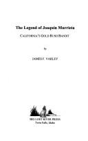
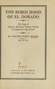
Search results from Open Library.
Recent natural events nearby
- Wildfire BOUQUET, Los Angeles, CaliforniaWildfires · 2026-10-03 · 97 mi
- Cyclone RachelSevere Storms · 2026-10-11 · 105 mi
- Wildfire RIDGE, Los Angeles, CaliforniaWildfires · 2026-08-07 · 126 mi
- Wildfire BUZZARD, Kern, CaliforniaWildfires · 2026-08-05 · 135 mi
- Wildfire CYRUS, Kern, CaliforniaWildfires · 2026-10-09 · 163 mi
- Wildfire PLAINS, San Luis Obispo, CaliforniaWildfires · 2026-08-12 · 205 mi
- Prescribed Fire CRAWFORD CORRAL RX, Tulare, CaliforniaWildfires · 2026-09-19 · 232 mi
- Wildfire Campwood, Yavapai, ArizonaWildfires · 2026-08-23 · 245 mi
Wildfires, storms and other events from NASA EONET (last 12 months, within 250 mi).
Ground air-quality sensors
Recently spotted species
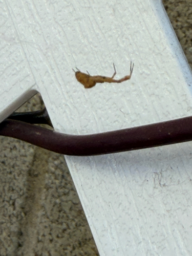
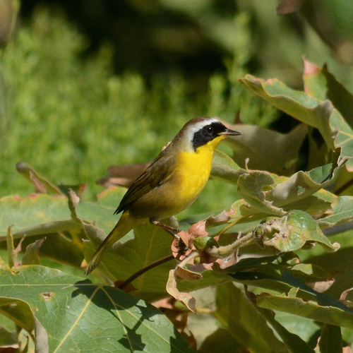
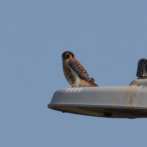
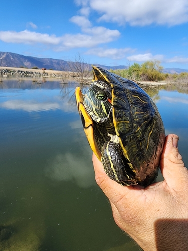
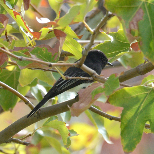
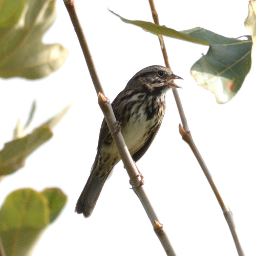
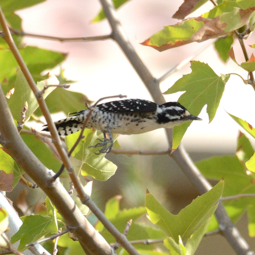
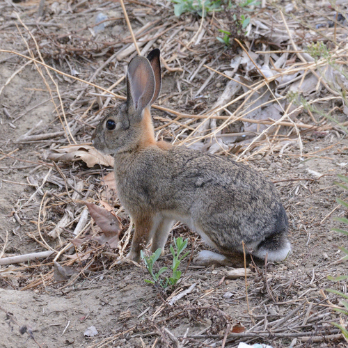
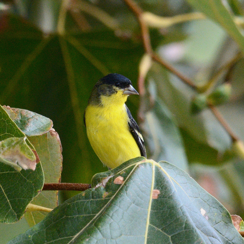
Research-grade observations from iNaturalist (within ~15 mi).
Nearest stream gauge
Live readings from USGS NWIS · measured 2026-09-17 13:00 UTC.
Events
Gallery
Sources
- • Wikipedia
- • US Census Bureau (ACS 5-year estimates)
- • NOAA National Weather Service
- • Wikidata
- • USGS Earthquake Catalog (global feed)
- • USGS NWIS (water data)
- • NCES via Urban Institute Education Data Portal
- • GBIF (Global Biodiversity Information Facility)
- • iNaturalist
- • CDC PLACES
- • Open-Meteo / sunrise-sunset.org
- • Wikipedia Pageviews API
- • Open Library
- • NASA EONET