Browse / Central African Republic / Nana-Mambéré / Bouar
Bouar
Nana-Mambérécity

Bouar
Total population
40,353
Demographic figures from ICASEES (CAR). Overview below cites Wikipedia and may reference a different year.
City facts
Overview
Bouar is a market town in the western Central African Republic, lying on the main road from Bangui (437 km) to the frontier with Cameroon (210 km). The city is the capital of Nana-Mambéré prefecture, has a population of 40,353, while the whole sous-préfecture has a population of 96,595. Bouar lies on a plateau almost 1000m above sea level and is known as the site of Camp Leclerc, a French military base.
History & geography
Geography
Coordinates & boundaries from the US Census TIGER/Line shapefiles.
Climate
Air quality
Walkability
Amenities nearby
Wildlife & biodiversity
Most-observed species
- Northern Gray-headed SparrowPasser griseus (Vieillot, 1817) · Aves18
- Speckled MousebirdColius striatus J.F.Gmelin, 1789 · Aves16
- Pied CrowCorvus albus Statius Muller, 1776 · Aves15
- Black KiteMilvus migrans (Boddaert, 1783) · Aves14
- Yellow-fronted CanaryCrithagra mozambica (P.L.Statius Müller, 1776) · Aves14
- Common BulbulPycnonotus barbatus (Desfontaines, 1789) · Aves13
- Northern Black-FlycatcherMelaenornis edolioides (Swainson, 1837) · Aves11
- Red-cheeked CordonbleuUraeginthus bengalus (Linnaeus, 1766) · Aves11
Citizen-science & research observations from the Global Biodiversity Information Facility (GBIF).
Earthquake history
Events from the USGS Earthquake Catalog (global) (FDSN Event Web Service).
Photos
Sights & places nearby
Notable people from here
Nearby places in Nana-Mambéré
Geography & sun
Elevation, sunrise/sunset and daylight from Open-Meteo. Solar climatology from NASA POWER.
Nearby airports
Public attention
Pageview totals from the Wikimedia Pageviews API.
Books about this place
Recent natural events nearby
Ground air-quality sensors
Recently spotted species
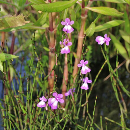
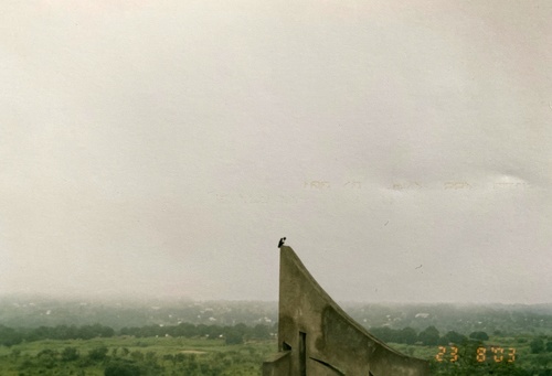
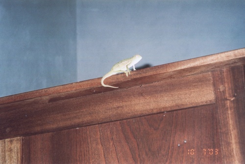
Research-grade observations from iNaturalist (within ~15 mi).
Events
Gallery
Sources
- • Wikipedia
- • Wikidata
- • USGS Earthquake Catalog (global feed)
- • GBIF (Global Biodiversity Information Facility)
- • iNaturalist
- • Open-Meteo / sunrise-sunset.org
- • Wikipedia Pageviews API