Browse / Switzerland / Ticino / Porza
Porza
Ticinovillage

Porza
Total population
1,595
Demographic figures from Swiss Federal Statistical Office. Overview below cites Wikipedia and may reference a different year.
City facts
Facts from Wikidata (CC0).
Overview
Porza is a municipality in the district of Lugano in the canton of Ticino in Switzerland.
Read more on WikipediaHistory & geography
History
Porza is first mentioned around 1297−99 as Porza. 1907-08 several cremation graves along with grave goods from the Iron Age were discovered. During the Middle Ages the Benedictine abbey of San Pietro in Ciel d'Oro owned land in Porza. On a hill northeast of Porza was Trevano castle, which was probably built in the 12th century by the Bishop of Como. It was owned by the Brocchi family, from Como and later by the Trevano and Quadri families. On the castle's foundations a villa was built in 1871. During the Belle Époque the glamorous and wealthy met here, and musicians from across Europe presented themselves to give concerts. In 1934, the district purchased the villa. It was demolished in 1961 and replaced with a school, which is now part of the Scuola universitaria professionale della Svizzera italiana (university of Italian Switzerland). Porza's church was under the parish church S. Lorenzo in Lugano until 1468, followed by the parish of Comano. It became an independent parish in 1647. The Church of SS. Bernardino e Martino dates from the 16th century and was restored 1974. Historically, the local economy relied on farming as well as craftsmen (Maestranze) emigrating to other countries. At the beginning of the 21st century, it has become a residential community for the agglomeration of Lugano. Since the 1960s, a substantial proportion of the population comes from abroad or the rest of Switzerland. In the valley along the Cassarate river, an industrial and trade development zone has grown up. In 1992−95, a skating rink was built in Resega near the river. In 2000, about three-quarters of the workforce commutes.
Geography
Porza has an area, , of . Of this area, or 43.0% is used for agricultural purposes, while or 41.8% is forested. Of the rest of the land, or 43.0% is settled (buildings or roads) and or 1.9% is unproductive land. Of the built up area, industrial buildings made up 2.5% of the total area while housing and buildings made up 29.1% and transportation infrastructure made up 8.2%. Power and water infrastructure as well as other special developed areas made up 2.5% of the area Out of the forested land, 38.6% of the total land area is heavily forested and 3.2% is covered with orchards or small clusters of trees. Of the agricultural land, 10.8% is used for growing crops, while 3.2% is used for orchards or vine crops and 29.1% is used for alpine pastures. The municipality is located in the Lugano district, north-west of Lugano. It consists of the village of Porza and the hamlets of Vira, Trevano and Belvedere in along the hills, as well as Cornaredo and Resega in the valley.
Excerpted from the corresponding Wikipedia article (CC BY-SA).
Geography
Coordinates & boundaries from the US Census TIGER/Line shapefiles.
Climate
Air quality
Walkability
Amenities nearby
Wildlife & biodiversity
Earthquake history
Photos
Sights & places nearby
Notable people from here


People born within ~10 km, from Wikidata (CC0). Click any name for their Wikipedia article.
Nearby places in Ticino
- Vezia0.8 mi away · pop. 1,966
- Comano0.8 mi away · pop. 2,061
- Canobbio0.9 mi away · pop. 2,065
- Savosa0.9 mi away · pop. 2,276
- Cadempino1.1 mi away · pop. 1,512
- Massagno1.1 mi away · pop. 6,119
- Lugano1.6 mi away · pop. 67,000
- Lamone1.6 mi away · pop. 1,766
- Manno1.7 mi away · pop. 1,270
- Origlio1.7 mi away · pop. 1,435
- Cadro1.9 mi away · pop. 2,114
- Gravesano1.9 mi away · pop. 1,243
Geography & sun
Nearby airports
Public attention
Books about this place
Recent natural events nearby
Ground air-quality sensors
Recently spotted species
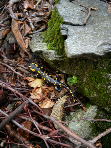
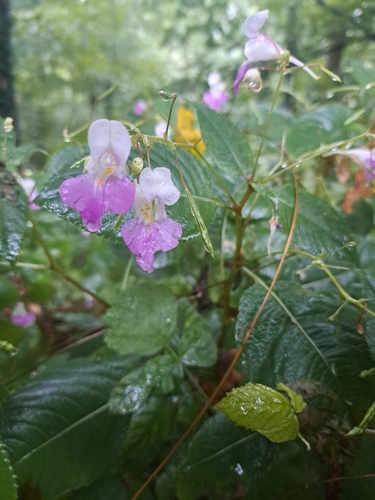
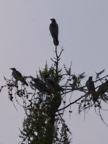
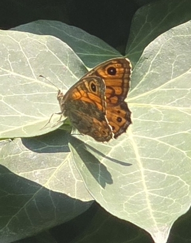
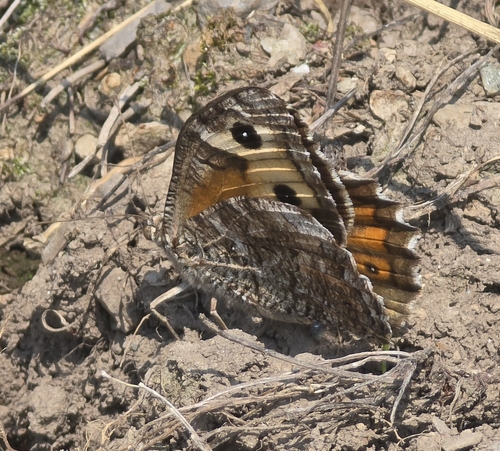
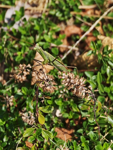
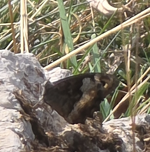
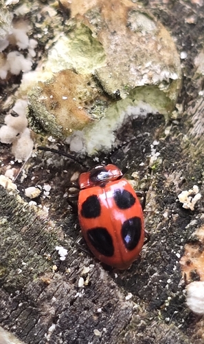
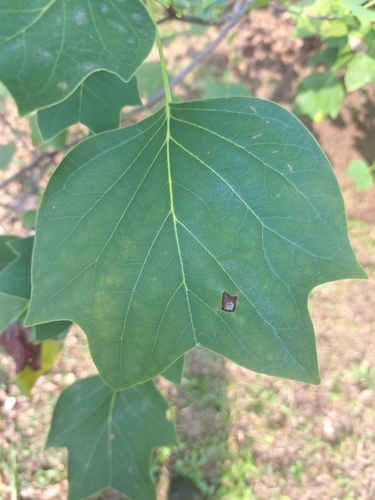
Research-grade observations from iNaturalist (within ~15 mi).
Events
Gallery
Official Identifiers
BFS — Swiss Federal Statistical Office
- BFS-Nr
- 5214
- Population (Wikidata)
- 1,580
- Wikidata
- Q68808
Gemeindenummer via Wikidata P771
Sources
- • Wikipedia
- • Wikidata
- • iNaturalist
- • Wikidata SPARQL (CC0) — population, area, elevation, inception, head of government, Commons image
- • BFS — Swiss Federal Statistical Office — Gemeindenummer via Wikidata P771