Browse / Switzerland / Bern / Wileroltigen
Wileroltigen
Bernvillage

Wileroltigen
Total population
385
Demographic figures from Swiss Federal Statistical Office. Overview below cites Wikipedia and may reference a different year.
City facts
Facts from Wikidata (CC0).
Overview
Wileroltigen is a municipality in the Bern-Mittelland administrative district in the canton of Bern in Switzerland.
Read more on WikipediaHistory & geography
History
Wileroltigen is first mentioned in 1263 as Wiler sita prope Oltingen. The municipality was formerly known by its French name Ostranges, however, that name is no longer used. During the Early Middle Ages the region around Wileroltigen belonged to St. Maurice's Abbey. In 962, the Abbey donated the land to Payerne Priory, which held it until the 13th century when the Herrschaft of Oltigen acquired the land. In 1412 the entire Herrschaft, including Wileroltigen, was absorbed by Bern. It was eventually combined with the villages of Gurbrü and Golaten to form a court in the bailiwick of Laupen. The village shared a bridge over the Saane/Sarine River with the village of Marfeldingen (part of the Mühleberg municipality) by 1325. During the 15th century, it was replaced with a ferry. After the Act of Mediation, in 1803, Wileroltigen was assigned to the Canton of Bern despite the protests of the Canton of Fribourg. In 1528 both Wileroltigen and the parish church at Kerzers converted to the new faith of the Protestant Reformation and the village remained part of the parish of Kerzers. However, the village St. Mary Magdalene chapel was abandoned after the Reformation. A village school opened in 1659.
Geography
Wileroltigen has an area of . As of 2012, a total of or 61.3% is used for agricultural purposes, while or 28.4% is forested. Of the rest of the land, or 6.5% is settled (buildings or roads), or 2.6% is either rivers or lakes. During the same year, housing and buildings made up 3.1% and transportation infrastructure made up 3.1%. Out of the forested land, 26.7% of the total land area is heavily forested and 1.7% is covered with orchards or small clusters of trees. Of the agricultural land, 47.6% is used for growing crops and 12.5% is pastures, while 1.2% is used for orchards or vine crops. All the water in the municipality is flowing water.
Excerpted from the corresponding Wikipedia article (CC BY-SA).
Geography
Coordinates & boundaries from the US Census TIGER/Line shapefiles.
Climate
Air quality
Walkability
Amenities nearby
Wildlife & biodiversity
Earthquake history
Photos
Sights & places nearby
Notable people from here


People born within ~10 km, from Wikidata (CC0). Click any name for their Wikipedia article.
Nearby places in Bern
- Gurbrü1.1 mi away · pop. 254
- Ferenbalm2 mi away · pop. 1,243
- Biberen2.4 mi away
- Kallnach3.4 mi away · pop. 1,611
- Kriechenwil4.2 mi away · pop. 414
- Frauenkappelen4.7 mi away · pop. 1,234
- Bargen BE4.8 mi away · pop. 1,096
- Müntschemier4.8 mi away · pop. 1,307
- Aarberg5.4 mi away · pop. 4,648
- Neuenegg6 mi away · pop. 4,881
- Walperswil6.2 mi away
- Hagneck6.4 mi away · pop. 424
Geography & sun
Elevation, sunrise/sunset and daylight from Open-Meteo. Solar climatology from NASA POWER.
Nearby airports
Public attention
Pageview totals from the Wikimedia Pageviews API.
Books about this place
Recent natural events nearby
Ground air-quality sensors
Recently spotted species
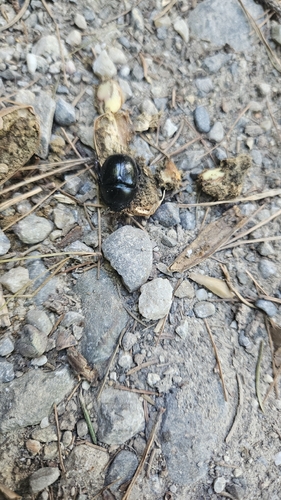
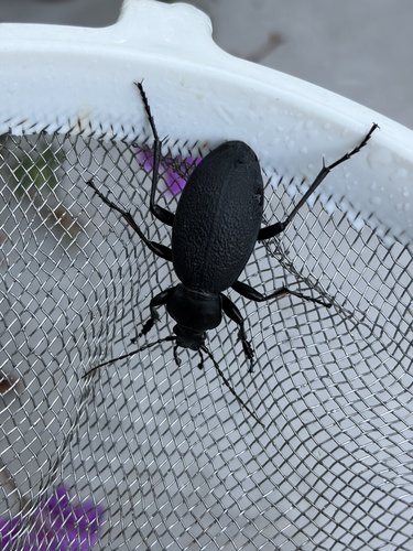
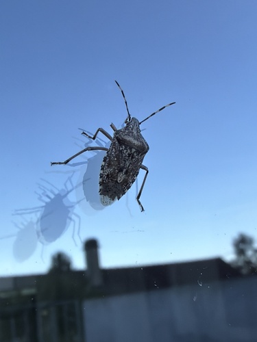
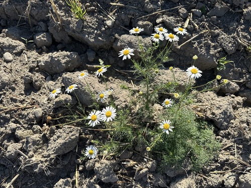
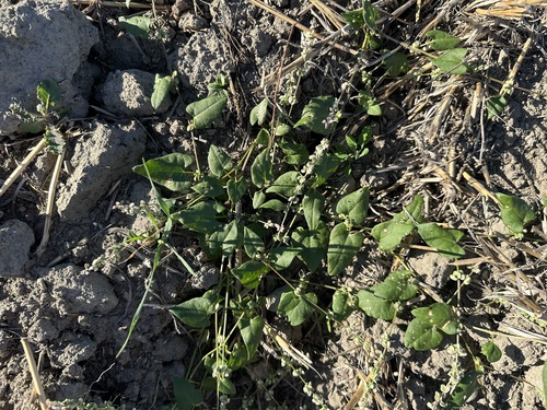
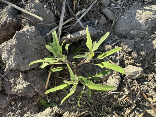
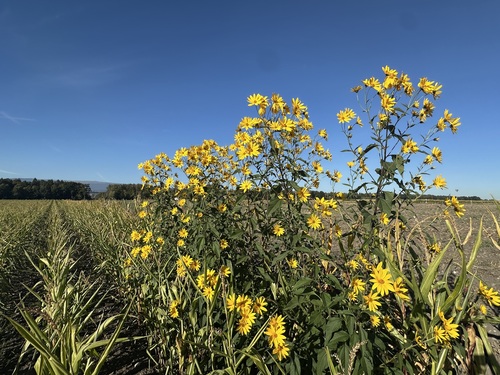
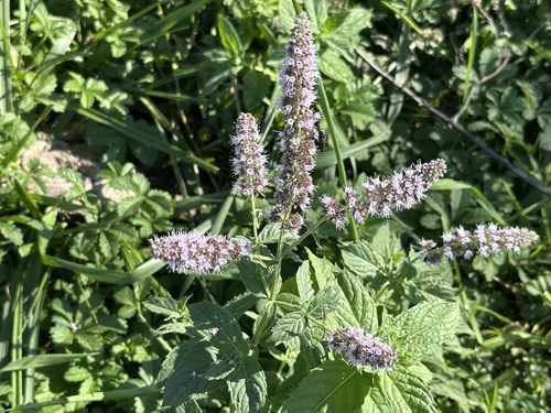
Research-grade observations from iNaturalist (within ~15 mi).
Events
Gallery
Official Identifiers
BFS — Swiss Federal Statistical Office
- BFS-Nr
- 671
- Population (Wikidata)
- 360
- Wikidata
- Q66919
Gemeindenummer via Wikidata P771
Sources
- • Wikipedia
- • Wikidata
- • iNaturalist
- • Open-Meteo / sunrise-sunset.org
- • Wikipedia Pageviews API
- • BFS — Swiss Federal Statistical Office — Gemeindenummer via Wikidata P771