Browse / Ireland / Meath / Nobber
Nobber
Meathvillage

Nobber
Demographic figures from Central Statistics Office (Ireland). Overview below cites Wikipedia and may reference a different year.
City facts
Overview
Nobber is a village in north County Meath, Ireland. It is on the Navan–Kingscourt road (R162), about 19 kilometres (12 mi) north of Navan. The village is in a townland and civil parish of the same name.
Read more on WikipediaHistory & geography
History
The Normans were the first known people to settle at Nobber. The site acted as a strong-point on the road from the ports of Drogheda and Dundalk to the midlands. The Lordship of Meath was granted to Hugh de Lacy by King Henry II of England in 1172 in his capacity as Lord of Ireland. De Lacy granted the Barony of Morgallion to Gilbert de Angulo, who constructed a motte and bailey there. By the middle of the 15th century, Nobber was described by the English King Henry VI as being of key strategic importance to the control of the region. Around 2005, several high crosses were discovered in the village's old cemetery (St Johns) dating from possibly the 10th century. These are smaller and less ornate than typical Celtic high crosses. This find is significant because it suggests that a hitherto unrecorded monastic settlement once existed on the site of the village. Moynagh Lake, to the west of the village, is the site of a multi-period crannóg which dates to Mesolithic times. In the Medieval period, Nobber was the chief town of the Barony of Morgallion. By the time of the Act of Union, the local population was large enough to return a Member of Parliament. Nobber was once a key town in the Kingdom of Meath, and an ancient Rectory of Nobber was united to the ecclesiastical dignity of the Archdeacon of Kells; thus the holder was styled "Rector of Nobber", "Parson of Nobber", or more often "Archdeacon of Nobber". Confusingly, the Archdeacon of Kells held the Rectory of Nobber, while the Archdeacon of Meath held the Rectory of Kells.
Excerpted from the corresponding Wikipedia article (CC BY-SA).
Geography
Coordinates & boundaries from the US Census TIGER/Line shapefiles.
Climate
Air quality
Walkability
Amenities nearby
Wildlife & biodiversity
Earthquake history
Photos
Sights & places nearby
Notable people from here
Nearby places in Meath
Geography & sun
Elevation, sunrise/sunset and daylight from Open-Meteo. Solar climatology from NASA POWER.
Nearby airports
Public attention
Pageview totals from the Wikimedia Pageviews API.
Books about Nobber
Search results from Open Library.
Recent natural events nearby
Ground air-quality sensors
Recently spotted species
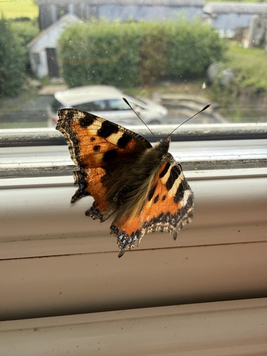
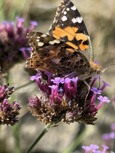
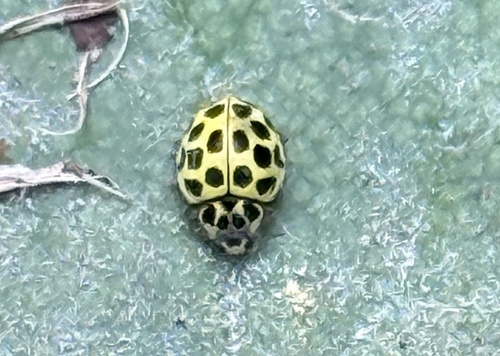
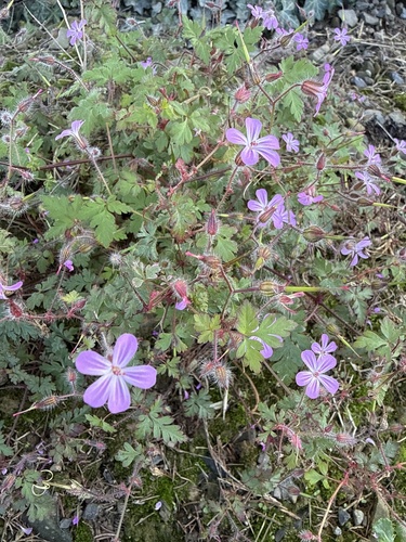
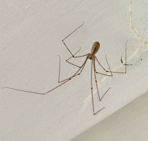
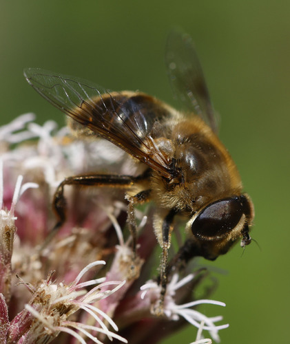
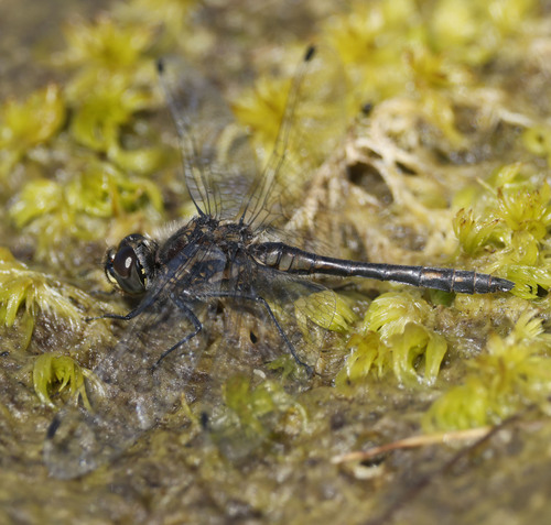
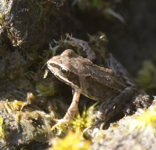
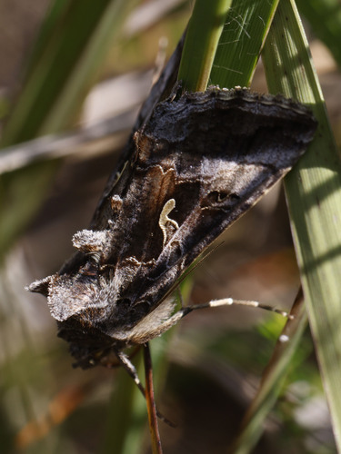
Research-grade observations from iNaturalist (within ~15 mi).
Events
Gallery
Sources
- • Wikipedia
- • iNaturalist
- • Open-Meteo / sunrise-sunset.org
- • Wikipedia Pageviews API
- • Open Library