Browse / Ireland / Meath / Duleek
Duleek
Meathvillage

Duleek
Total population
4,899
Demographic figures from Central Statistics Office (Ireland). Overview below cites Wikipedia and may reference a different year.
City facts
Facts from Wikidata (CC0).
Overview
Duleek is a small town in County Meath, Ireland.
Read more on WikipediaHistory & geography
History
Duleek began as an early Christian monastic settlement. Saint Patrick established a bishopric here about 450 AD, which he placed in the care of Saint Cianán on 24 November 489. The place was sacked several times by the Norsemen between 830 and 1149 and was also pillaged by the Normans in 1171. In April 1014, the bodies of Brian Ború and his son lay in state in Duleek on their way to Armagh. The original monastery settlement is reputed to be the place where Saint Patrick and several contemporaries spent the winter period while compiling the Seanchas Mór, the first written compiled form of the ancient Brehon Laws of Ireland, in the fifth century. The 12th century saw the reconstitution of the original monastery as Saint Mary's Abbey and the subsumption of the Diocese of Duleek by the Diocese of Meath. The first Anglo-Norman Lord of Meath, Hugh de Lacy, established a manor and constructed a motte castle at Duleek. In 1180, he granted Saint Cianán's Church, together with certain lands, to the Augustinians. The churchyard of the now disused Church of Ireland church occupies part of the site of the early monastery. On the opposite side of the village, in the townland of Abbeyland, close to the River Nanny and Duleek House there are ruins of the Grange of Saint Michael. This grange was established in about 1172 by Augustinian monks from Llanthony in Monmouthshire; the lands were granted to them by the De Lacy family. The village's four crosses and the lime tree on the village green are reminders of Duleek's links to the struggle between William III and James II and to wider European unrest at the time of Louis XIV. A 10th century high cross is located just north of the church. Scenes from the New Testament are located on its west side this cross, another segment of a cross…
Excerpted from the corresponding Wikipedia article (CC BY-SA).
Geography
Coordinates & boundaries from the US Census TIGER/Line shapefiles.
Climate
Air quality
Walkability
Amenities nearby
Wildlife & biodiversity
Earthquake history
Photos
Sights & places nearby
Notable people from here
Nearby places in Meath
Geography & sun
Elevation, sunrise/sunset and daylight from Open-Meteo. Solar climatology from NASA POWER.
Nearby airports
Public attention
Pageview totals from the Wikimedia Pageviews API.
Books about Duleek
Search results from Open Library.
Recent natural events nearby
Ground air-quality sensors
Recently spotted species
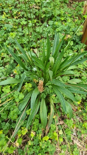
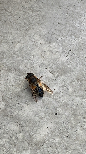
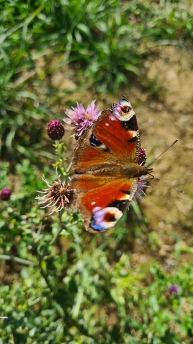
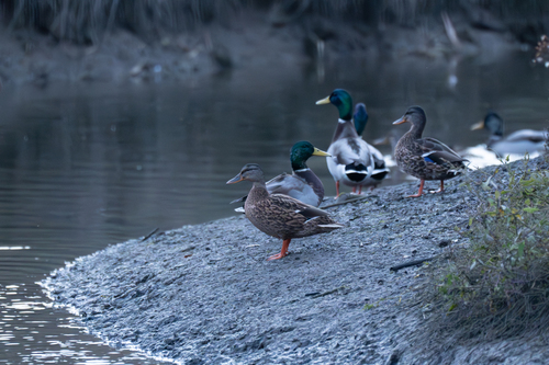
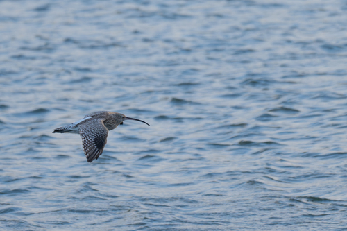
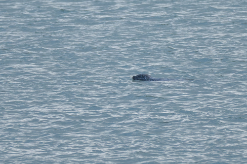
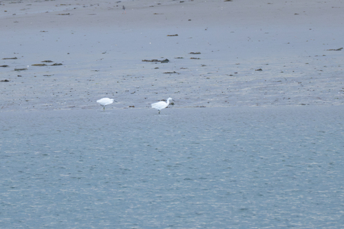
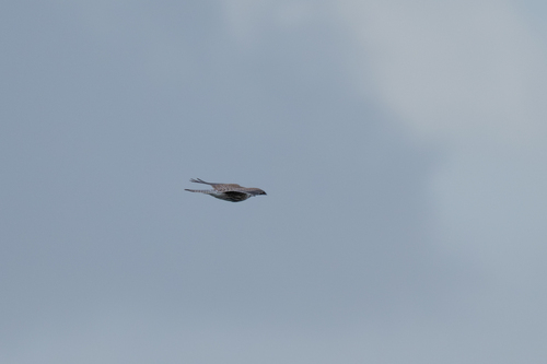
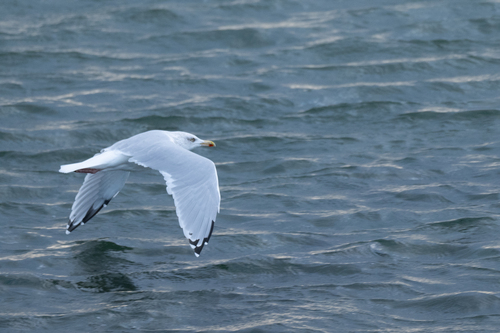
Research-grade observations from iNaturalist (within ~15 mi).
Events
Gallery
Sources
- • Wikipedia
- • Wikidata
- • iNaturalist
- • Open-Meteo / sunrise-sunset.org
- • Wikipedia Pageviews API
- • Open Library