Browse / United States / Massachusetts / Middlesex County / Lexington
Lexington
Middlesex County, Massachusettstown

Lexington
Total population
34,454
Median home value
$1,085,000
Bachelor's+
Median income
$206,323

Founded
1640
Air quality index
Demographic figures from US Census Bureau · ACS 5-year estimates. Overview below cites Wikipedia and may reference a different year.
- Heat Advisory · ModerateHeat Advisory issued June 11 at 3:27PM EDT until June 12 at 8:00PM EDT by NWS Boston/Norton MA
Source: NOAA National Weather Service.
City facts
Facts from Wikidata (CC0).
Overview
Lexington is a suburban town in Middlesex County, Massachusetts, United States, located 10 miles (16 km) from Downtown Boston. The population was 34,454 as of the 2020 census. The area was originally inhabited by Native Americans, and was first settled by Europeans c. 1642 as a farming community. Lexington is well known as the site of the first shots of the American Revolutionary War, in the Battle of Lexington on April 19, 1775, where the "Shot heard 'round the world" took place. It is home to Minute Man National Historical Park.
Read more on WikipediaHistory & geography
History
Native Americans inhabited the area that would become Lexington for thousands of years prior to European colonization of the Americas, as attested by a woodland-era archaeological site near Loring Hill south of the town center. At the time of European contact, the area may have been a border region between Naumkeag or Pawtucket to the northeast, Massachusett to the south, and Nipmuc to the west, though the land was eventually purchased from the Naumkeag. The contact period introduced a number of European infectious diseases which would decimate native populations in virgin soil epidemics, leaving the area largely uncontested upon the arrival of large groups of English settlers in the Puritan Great Migration. In 1639, the Massachusetts General Court purchased the land that would become present-day Lexington, then within the boundaries of Cambridge, from the Naumkeag Squaw Sachem of Mistick. as part of Cambridge, Massachusetts. How the town received its name is the subject of some controversy. One view is that it was named in honor of Lord Lexington, an English peer. Another view is that it was named after Lexington (which was pronounced and is today spelled Laxton) in Nottinghamshire, England. In the early colonial days, Vine Brook, which runs through Lexington, Burlington, and Bedford, and then empties into the Shawsheen River, was a focal point of the farming and industry of the town. It provided water for many types of mills, and in the 20th century, for farm irrigation. On April 19, 1775, the first battle of the American Revolutionary War, the Battle at Lexington, took place. On the night of April 18, the British Army sent out 800 grenadiers and light infantry soldiers on foot from Boston, with the intention of destroying Colonial gunpowder and cannons that were…
Geography
Lexington is located at (42.444345, −71.226928). According to the United States Census Bureau, the town has a total area of 16.5 square miles (42.8 km2), of which 16.4 square miles (42.5 km2) is land and 0.1 square miles (0.4 km2), or 0.85%, is water. Lexington is bordered by Burlington, Woburn, Winchester, Arlington, Belmont, Waltham, Lincoln, and Bedford. It has more area than all other municipalities that it borders.
Excerpted from the corresponding Wikipedia article (CC BY-SA).
Demographics & economy
Race & ethnicity
Source: US Census Bureau — American Community Survey, 5-year estimates.
Geography
Coordinates & boundaries from the US Census TIGER/Line shapefiles.
Climate
10-year averages from ERA5 reanalysis (Open-Meteo).
Current forecast
Forecast for Lexington, MA from NOAA NWS API.
Air quality
Current readings from Open-Meteo Air Quality API (Copernicus CAMS European reanalysis).
Industrial & pollution facilities
Natural hazard risk
Health (adults)
Age-adjusted prevalence estimates from CDC PLACES (latest release).
Walkability
Amenities nearby
Wildlife & biodiversity
Most-observed species
- American RobinTurdus migratorius Linnaeus, 1766 · Aves155,879
- Blue JayCyanocitta cristata (Linnaeus, 1758) · Aves148,758
- Northern CardinalCardinalis cardinalis (Linnaeus, 1758) · Aves130,502
- Black-capped ChickadeePoecile atricapillus (Linnaeus, 1766) · Aves126,746
- Mourning DoveZenaida macroura (Linnaeus, 1758) · Aves117,833
- House SparrowPasser domesticus (Linnaeus, 1758) · Aves114,668
- Song SparrowMelospiza melodia (A.Wilson, 1810) · Aves110,990
- Downy WoodpeckerDryobates pubescens (Linnaeus, 1766) · Aves106,961
Citizen-science & research observations from the Global Biodiversity Information Facility (GBIF).
Schools
Largest nearby schools
- Lexington HighHigh · Lexington · 2,303 students · 12.3:1 ratio
- Everett HighHigh · Everett · 2,231 students · 13.4:1 ratio
- Newton North HighHigh · Newtonville · 2,099 students · 10.9:1 ratio
- Cambridge Rindge and LatinHigh · Cambridge · 1,867 students · 8.7:1 ratio
- Malden HighHigh · Malden · 1,856 students · 16:1 ratio
- Newton South HighHigh · Newton Centre · 1,837 students · 11.8:1 ratio
- Waltham Sr HighHigh · Waltham · 1,751 students · 10.9:1 ratio
- Billerica Memorial High SchoolHigh · Billerica · 1,726 students · 13.5:1 ratio
Public K–12 schools within ~10 mi from Urban Institute Education Data Portal (NCES Common Core of Data, 2022).
Earthquake history
Most recent
- M 3.8 — 2025-01-279 km SE of York Harbor, Maine
- M 2.7 — 2023-12-235 km SW of Chichester, New Hampshire
- M 2.7 — 2018-02-150 km SE of East Kingston, New Hampshire
- M 2.6 — 2015-01-132 km E of Wauregan, Connecticut
- M 3.3 — 2015-01-120 km NE of Wauregan, Connecticut
- M 2.61 — 2013-10-11New Hampshire
Events from the USGS Earthquake Catalog (global) (FDSN Event Web Service).
Photos

Memorialbricks

Welcome-Mat
.jpg)
Great Dome at MIT in Boston (8223265158)

Lexington Venue at Night

Lexington Depot at night

Lexington Center on Christmas Eve

W. G. Constable and Sir Herbert Read

Lexington Depot trainshed, May 2017

Lexington Depot from the northwest, May 2017

Lexington Depot from the southeast, May 2017

Lexpress bus at Depot Square, May 2017

Lexpress buses and Lexington Depot, May 2017
Geo-tagged photos from Wikimedia Commons (CC-licensed; click any photo for license details).
Sights & places nearby
Notable people from here


People born within ~10 km, from Wikidata (CC0). Click any name for their Wikipedia article.
Nearby places in Massachusetts
- Watertown Town5.9 mi away
- Medford6.1 mi away · pop. 59,659
- West Concord9.1 mi away · pop. 6,320
- Cochituate10.5 mi away
- Peabody14.3 mi away · pop. 54,481
- Danvers16.5 mi away
- Boxford19.3 mi away · pop. 8,203
- Cordaville19.5 mi away
- Ayer20 mi away · pop. 8,479
- Braintree Town20.2 mi away
- Methuen Town20.5 mi away
- Randolph Town20.5 mi away
Geography & sun
Elevation, sunrise/sunset and daylight from Open-Meteo. Solar climatology from NASA POWER.
Nearby airports
Public attention
Pageview totals from the Wikimedia Pageviews API.
Books about Lexington





Search results from Open Library.
Recent natural events nearby
Ground air-quality sensors
Recently spotted species
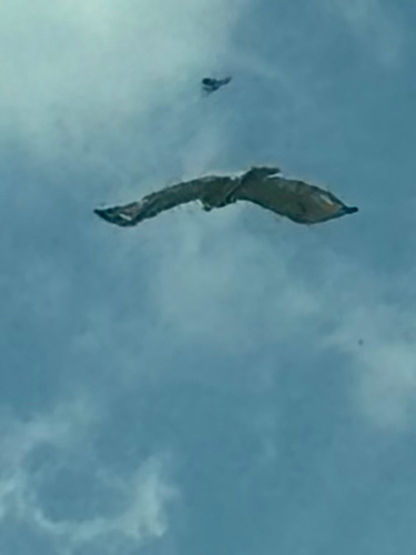
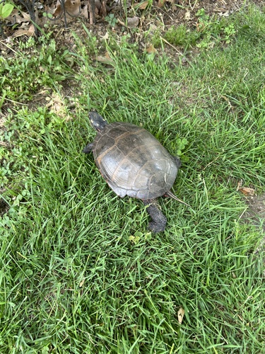
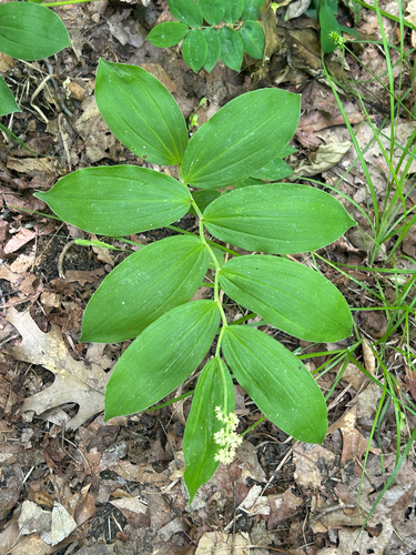
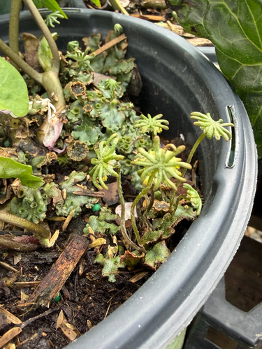
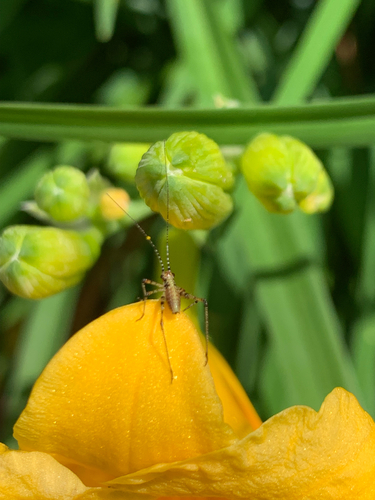
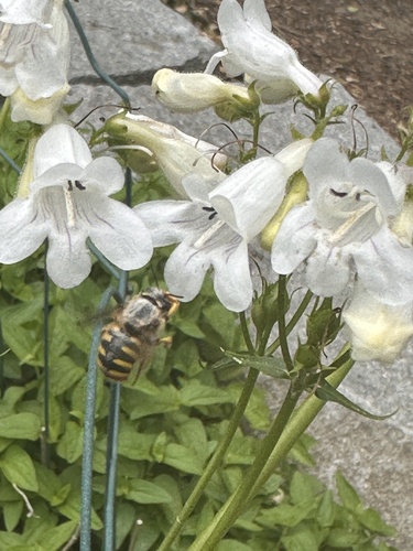
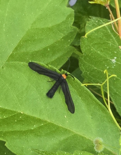
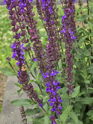
Research-grade observations from iNaturalist (within ~15 mi).
Nearest stream gauge
Live readings from USGS NWIS · measured 2026-06-08 21:40 UTC.
Events
Gallery
Geotagged photos within ~6 miles of Lexington, from Wikimedia Commons contributors.
0 mi0 mi.jpg) 0 mi
0 mi.jpg) 0 mi0.1 mi0.2 mi0.2 mi0.2 mi0.2 mi0.2 mi0.2 mi0.2 mi0.2 mi0.2 mi
0 mi0.1 mi0.2 mi0.2 mi0.2 mi0.2 mi0.2 mi0.2 mi0.2 mi0.2 mi0.2 mi 0.2 mi
 0.2 mi
 0.2 mi
_Lexington_Police_Department_Ford_Police_Interceptor_Utility_MA-Official-Police_E885_2024-06-12.jpg) 0.2 mi
0.2 mi 0.2 mi
 0.3 mi
 0.3 mi
 0.3 mi
 0.3 mi
 0.3 mi
Photos via Wikimedia Commons — see each image page for license & attribution.
Sources
- • Wikipedia
- • US Census Bureau (ACS 5-year estimates)
- • Open-Meteo (ERA5 reanalysis)
- • NOAA National Weather Service
- • Wikimedia Commons
- • Wikidata
- • Open-Meteo Air Quality (CAMS)
- • USGS Earthquake Catalog (global feed)
- • USGS NWIS (water data)
- • NCES via Urban Institute Education Data Portal
- • GBIF (Global Biodiversity Information Facility)
- • iNaturalist
- • CDC PLACES
- • Open-Elevation
- • Open-Meteo / sunrise-sunset.org
- • Wikipedia Pageviews API
- • Open Library
- • Wikidata SPARQL (CC0) — population, area, elevation, inception, head of government, Commons image
Notes: Census ACS data unavailable; Nearby POIs unavailable; Photos unavailable; Notable people unavailable; Walkability unavailable; EPA pollution data unavailable; Livability counts unavailable; FEMA NRI data unavailable; Wikidata facts unavailable