Browse / United States / North Carolina / Manteo
Manteo
North Carolinatown

Manteo
Total population
2,020
Median home value
$444,400
Bachelor's+
Median income
$83,777
Demographic figures from US Census Bureau · ACS 5-year estimates. Overview below cites Wikipedia and may reference a different year.
City facts
Overview
Manteo is a town in Dare County, North Carolina, United States, located on Roanoke Island. The population was 1,602 at the 2020 census. It is the county seat of Dare County.
Read more on WikipediaHistory & geography
History
The town is named for an American Indian named Manteo, a Croatan. Manteo traveled with the English to London in 1584 where he and another Indian, Wanchese, learned to become the liaisons between the Roanoke Colony settlers and the Indians. He also had favorable interaction with British colonist John White. In fact, Manteo was christened and given the name Lord of Roanoke, making him the first American Indian to receive a title of nobility. Eventually, John White's daughter Eleanor married Ananias Dare, and they had the first American-born English child, Virginia Dare. In 1587, Manteo was friendly to White when he returned to find what the final stage of the Roanoke Colony became. When the colonists disappeared after supplies from England were delayed for three years, the ongoing mystery of "The Lost Colony" began. Manteo was named the seat of government for Dare County in 1870, and was incorporated in 1899. Dare County is named for Virginia Dare. In 1999, North Carolina public radio (NPR), WUNC, began broadcasting in Manteo as part of an effort to bring public radio to one of the largest areas on the East Coast of the United States without such service. In 2005, Manteo restored its coastal warning display tower, and it is now operated by the Manteo branch of the North Carolina Maritime Museum. The George Washington Creef House, John T. Daniels House, Fort Raleigh National Historic Site, and Theodore S. Meekins House are listed on the National Register of Historic Places. The Flag of Manteo is the Saint George's Cross.
Geography
Manteo is located at (35.904595, −75.669385), on the north central area of Roanoke Island. It is located off the exit at the South 16 mile post on US Hwy 158 at Whalebone Junction, the junction of NC Highways 158, 64, and 12, known as the Beach Road. According to the United States Census Bureau, the town has a total area of , of which is land and , or 3.09%, is water. Manteo has a humid subtropical climate (Cfa) like most of North Carolina with long, hot summers and short, cool winters. Precipitation is very heavy year round and falls on around 87 days. Snow is a rare sight.
Excerpted from the corresponding Wikipedia article (CC BY-SA).
Demographics & economy
Race & ethnicity
Source: US Census Bureau — American Community Survey, 5-year estimates.
Geography
Coordinates & boundaries from the US Census TIGER/Line shapefiles.
Climate
Current forecast
Forecast for Manteo, NC from NOAA NWS API.
Air quality
Industrial & pollution facilities
Natural hazard risk
Health (adults)
Walkability
Amenities nearby
Wildlife & biodiversity
Schools
Earthquake history
Photos
Sights & places nearby
Notable people from here


People born within ~10 km, from Wikidata (CC0). Click any name for their Wikipedia article.
Nearby places in North Carolina
- Nags Head3.7 mi away · pop. 3,160
- Wanchese4.1 mi away · pop. 1,956
- Salvo26.3 mi away · pop. 220
- Coinjock35.5 mi away · pop. 543
- Frisco45.1 mi away
- Hatteras46.9 mi away
- Swan Quarter50.3 mi away · pop. 458
- Cape Colony52.8 mi away
- Ocracoke60.3 mi away
- Pantego60.5 mi away
- Chowan Beach63.2 mi away
- Jamesville70.2 mi away
Geography & sun
Elevation, sunrise/sunset and daylight from Open-Meteo. Solar climatology from NASA POWER.
Nearby airports
Public attention
Pageview totals from the Wikimedia Pageviews API.
Books about Manteo

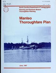
Search results from Open Library.
Recent natural events nearby
Ground air-quality sensors
Recently spotted species
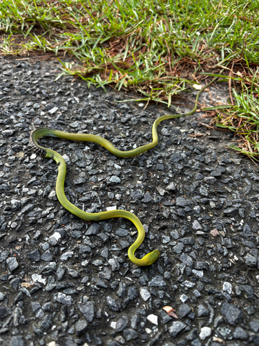
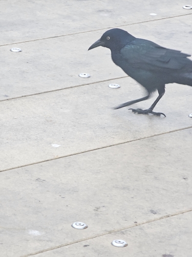
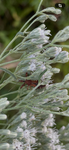
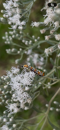
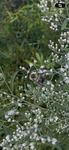
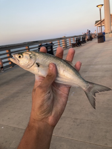
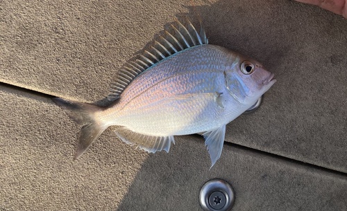
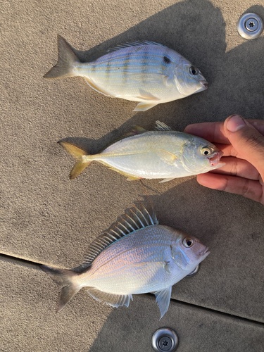
Research-grade observations from iNaturalist (within ~15 mi).
Nearest stream gauge
Events
Gallery
Sources
- • Wikipedia
- • US Census Bureau (ACS 5-year estimates)
- • NOAA National Weather Service
- • Wikidata
- • iNaturalist
- • Open-Meteo / sunrise-sunset.org
- • Wikipedia Pageviews API
- • Open Library