Browse / United States / North Carolina / Nags Head
Nags Head
North Carolinatown

Nags Head
Total population
3,160
Median home value
$490,800
Bachelor's+
Median income
$91,264
Demographic figures from US Census Bureau · ACS 5-year estimates. Overview below cites Wikipedia and may reference a different year.
- High Surf Advisory · MinorHigh Surf Advisory issued October 16 at 2:51AM EDT until October 19 at 8:00PM EDT by NWS Newport/Morehead City NC
Source: NOAA National Weather Service.
City facts
Facts from Wikidata (CC0).
Overview
Nags Head is a town in Dare County, North Carolina, United States. It is a busy vacation spot because of its beaches and sand dunes of Jockey's Ridge. The population was 3,146 at the 2020 census.
Read more on WikipediaHistory & geography
History
Early maps of the area show Nags Head as a promontory of land characterized by high sand dunes visible from miles at sea. The origin of the town's name is obscure but it is likely to have been named after any one of the places called Nag's Head on the English coast. A folkloric explanation claims that mules or horses (nags) would have lights hung on their heads by nefarious wreckers in order to trick ships into running aground and then loot the ships of their valuables. The town's emblem depicts one such equine accomplice from the tale. Around 1830, Nags Head became known as a resort area. This direction was accelerated in 1855 when Dr. W. G. Pool bought 50 acres of oceanfront land which he separated into plots and sold to friends, increasing the number of homes in the area. Jockey's Ridge is the last vestige of the sand dunes seen by the first explorers, as the area is now highly developed. The town incorporated in 1961. In May 2021, Nags Head was one of 11 communities (along with nearby Ocracoke, North Carolina) chosen by the United States Department of Energy to participate in the Energy Transitions Initiative Partnership Project, a program to provide federal aid for remote communities to modernize their electric infrastructure and resiliency through natural disasters and outages. Nags Head's grant is used to secure 48–72 hours of backup energy for emergency services due to the community's vulnerability to severe weather and rising sea levels and to investigate renewable and energy efficiency options. According to Nag's Head's Director of Planning and Development Michael Zehner, the project will take 12–18 months to complete and the town will receive assistance from National Renewable Energy Laboratory and the Sandia National Laboratories. Nags Head received a…
Geography
Nags Head is located at (35.932004, −75.615085). According to the United States Census Bureau, the town has a total area of , of which is land and , or 1.15%, is water. According to the A. W. Kuchler U.S. potential natural vegetation types, Nags Head, North Carolina would have a dominant vegetation type of Live oak/Sea Oats Uniola paniculata (90) with a dominant vegetation form of Coastal Prairie (20). According to the Trewartha climate classification system, Nags Head, North Carolina has a humid subtropical climate with hot and humid summers, cool winters and year-around precipitation (Cfak). Cfak climates are characterized by all months having an average mean temperature > 32.0 °F (> 0.0 °C), at least eight months with an average mean temperature ≥ 50.0 °F (≥ 10.0 °C), at least one month with an average mean temperature ≥ 71.6 °F (≥ 22.0 °C) and no significant precipitation difference between seasons. During the summer months in Nags Head, a cooling afternoon sea breeze is present on most days, but episodes of extreme heat and humidity can occur with heat index values ≥ 100 °F (≥ 38 °C). Nags Head is prone to hurricane strikes, particularly during the Atlantic hurricane season which extends from June 1 through November 30, sharply peaking from late August through September. During the winter months, episodes of cold and wind can occur with wind chill values < 10 °F (< −12 °C). The plant hardiness zone in Nags Head is 8b with an average annual extreme minimum air temperature of 16.9 °F (−8.4 °C). The average seasonal (Dec–Mar) snowfall total is < 2 inches (< 5 cm), and the average annual peak in nor'easter activity is in February.
Excerpted from the corresponding Wikipedia article (CC BY-SA).
Demographics & economy
Race & ethnicity
Source: US Census Bureau — American Community Survey, 5-year estimates.
Geography
Coordinates & boundaries from the US Census TIGER/Line shapefiles.
Climate
Current forecast
Forecast for Nags Head, NC from NOAA NWS API.
Air quality
Industrial & pollution facilities
Natural hazard risk
Health (adults)
Age-adjusted prevalence estimates from CDC PLACES (latest release).
Walkability
Amenities nearby
Wildlife & biodiversity
Most-observed species
- Carolina WrenThryothorus ludovicianus (Latham, 1790) · Aves8,437
- Carolina ChickadeePoecile carolinensis (Audubon, 1834) · Aves7,752
- Northern CardinalCardinalis cardinalis (Linnaeus, 1758) · Aves7,675
- Yellow-rumped WarblerSetophaga coronata (Linnaeus, 1766) · Aves7,210
- Brown PelicanPelecanus occidentalis Linnaeus, 1766 · Aves6,934
- Laughing GullLeucophaeus atricilla (Linnaeus, 1758) · Aves6,914
- Boat-tailed GrackleQuiscalus major Vieillot, 1819 · Aves6,336
- Mourning DoveZenaida macroura (Linnaeus, 1758) · Aves6,225
Citizen-science & research observations from the Global Biodiversity Information Facility (GBIF).
Schools
Largest nearby schools
- First Flight High SchoolHigh · Kill Devil Hills · 956 students · 18:1 ratio
- Manteo Elementary SchoolElementary · Manteo · 660 students · 12.2:1 ratio
- First Flight Middle SchoolMiddle · Kill Devil Hills · 612 students · 13.3:1 ratio
- Manteo High SchoolHigh · Manteo · 578 students · 15.2:1 ratio
- Nags Head Elementary SchoolElementary · Nags Head · 538 students · 12.8:1 ratio
- Manteo Middle SchoolMiddle · Manteo · 369 students · 12.3:1 ratio
- First Flight Elementary SchoolElementary · Kill Devil Hills · 320 students · 10.7:1 ratio
- Dare Learning AcademyHigh · Nags Head · 20 students · 10:1 ratio
Public K–12 schools within ~10 mi from Urban Institute Education Data Portal (NCES Common Core of Data, 2022).
Earthquake history
Events from the USGS Earthquake Catalog (global) (FDSN Event Web Service).
Photos
Sights & places nearby
Notable people from here


People born within ~10 km, from Wikidata (CC0). Click any name for their Wikipedia article.
Nearby places in North Carolina
- Manteo3.7 mi away · pop. 2,020
- Wanchese7.5 mi away · pop. 1,956
- Salvo28.9 mi away · pop. 220
- Frisco48.4 mi away · pop. 664
- Hatteras50.4 mi away · pop. 152
- Swan Quarter53.7 mi away · pop. 458
- Pantego63.1 mi away
- Ocracoke63.9 mi away · pop. 723
- Jamesville72 mi away · pop. 457
- Windsor73.6 mi away · pop. 3,269
- Bath74.2 mi away · pop. 391
- Askewville74.4 mi away · pop. 155
Geography & sun
Elevation, sunrise/sunset and daylight from Open-Meteo. Solar climatology from NASA POWER.
Nearby airports
Public attention
Pageview totals from the Wikimedia Pageviews API.
Books about Nags Head



Search results from Open Library.
Recent natural events nearby
Ground air-quality sensors
Recently spotted species
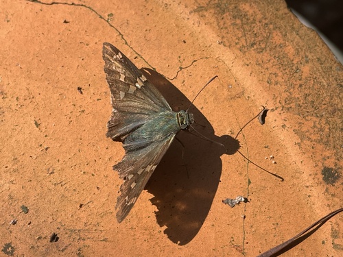

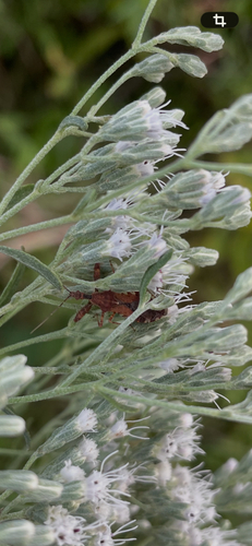
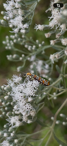
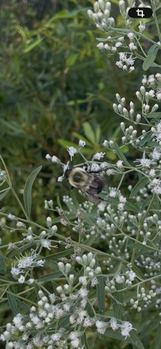
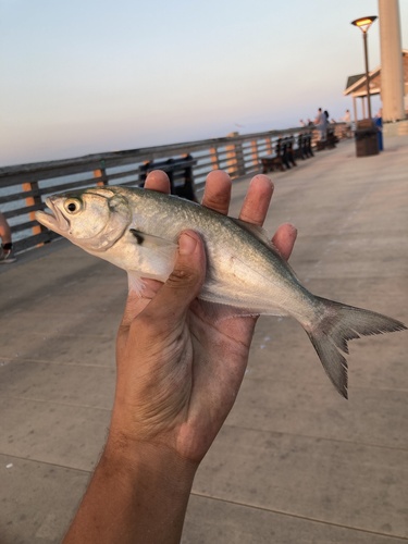
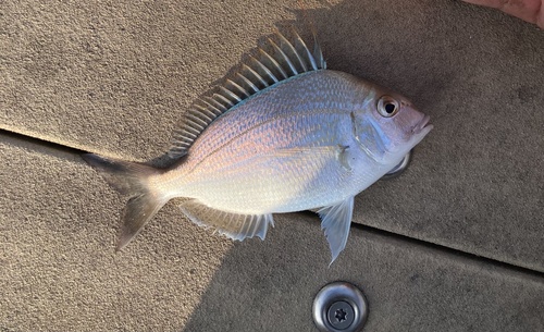
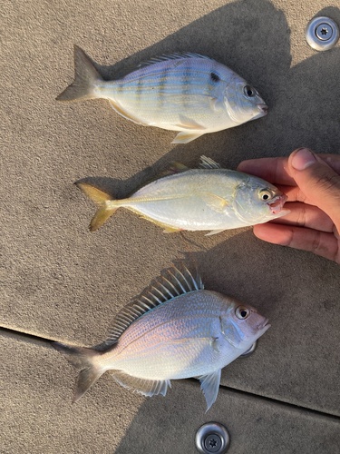
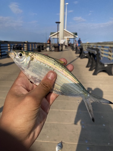
Research-grade observations from iNaturalist (within ~15 mi).
Nearest stream gauge
Events
Gallery
Sources
- • Wikipedia
- • US Census Bureau (ACS 5-year estimates)
- • NOAA National Weather Service
- • Wikidata
- • USGS Earthquake Catalog (global feed)
- • NCES via Urban Institute Education Data Portal
- • GBIF (Global Biodiversity Information Facility)
- • iNaturalist
- • CDC PLACES
- • Open-Meteo / sunrise-sunset.org
- • Wikipedia Pageviews API
- • Open Library