Browse / Portugal / Setúbal / Costa da Caparica
Costa da Caparica
Setúbalcity
Total population
7,632
Demographic figures from INE Portugal. Overview below cites Wikipedia and may reference a different year.
City facts
Overview
Within Setúbal, Portugal, Costa da Caparica stands as a small city. The population stands at approximately 7,632. On the world map it falls within the Western Hemisphere, specifically at 38.645°, -9.234°. Its latitude implies a climate characterised by warm summers and cool winters. At 750 people per km², the city shows a moderate population density. Clocks here are set to Q843589. Solar-resource estimates put the area at about 1,751 kWh/m² of solar irradiance per year with sunshine for roughly 69% of daylight hours. It covers about 10.18 km² of land area. Continue scrolling for population, climate, environmental and points-of-interest data drawn from public sources.
Summary composed automatically from structured open data on this page. See our Terms for details.
History & geography
Geography
Coordinates & boundaries from the US Census TIGER/Line shapefiles.
Climate
Air quality
Walkability
Amenities nearby
Wildlife & biodiversity
Most-observed species
- Eurasian BlackbirdTurdus merula Linnaeus, 1758 · Aves37,440
- House SparrowPasser domesticus (Linnaeus, 1758) · Aves33,492
- Rock PigeonColumba livia J.F.Gmelin, 1789 · Aves32,442
- Spotless StarlingSturnus unicolor Temminck, 1820 · Aves24,196
- Black RedstartPhoenicurus ochruros (S.G.Gmelin, 1774) · Aves23,203
- Eurasian Collared-DoveStreptopelia decaocto (Frivaldszky, 1838) · Aves20,738
- White WagtailMotacilla alba Linnaeus, 1758 · Aves19,059
- Common Wood-PigeonColumba palumbus Linnaeus, 1758 · Aves19,010
Citizen-science & research observations from the Global Biodiversity Information Facility (GBIF).
Earthquake history
Most recent
- M 3.5 — 2026-02-194 km ENE of Sobral de Monte Agraço, Portugal
- M 4.8 — 2025-02-171 km NE of Charneca de Caparica, Portugal
- M 5 — 2024-08-2656 km W of Sines, Portugal
- M 3.3 — 2021-03-180 km SSW of Santa Iria da Azóia, Portugal
- M 4.2 — 2017-08-175 km N of Arruda dos Vinhos, Portugal
- M 3.2 — 2015-07-182 km ESE of Colares, Portugal
Events from the USGS Earthquake Catalog (global) (FDSN Event Web Service).
Photos
Sights & places nearby
Notable people from here
Nearby places in Setúbal
- Trafaria1.9 mi away · pop. 3,742
- Charneca de Caparica2.2 mi away
- Monte de Caparica2.3 mi away
- Sobreda2.4 mi away · pop. 5,242
- Corroios4.4 mi away · pop. 9,460
- Amora6.4 mi away · pop. 8,884
- Seixal6.8 mi away · pop. 6,128
- Alto do Seixalinho9.3 mi away
- Palhais10 mi away · pop. 2,036
- Baixa da Banheira10.3 mi away · pop. 20,905
- Coina10.9 mi away · pop. 765
- Alhos Vedros11.3 mi away · pop. 4,433
Geography & sun
Elevation, sunrise/sunset and daylight from Open-Meteo. Solar climatology from NASA POWER.
Nearby airports
Public attention
Pageview totals from the Wikimedia Pageviews API.
Books about this place
Recent natural events nearby
Ground air-quality sensors
Recently spotted species
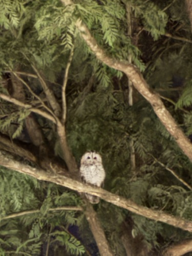
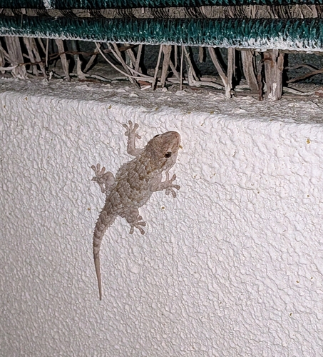
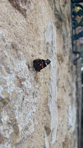
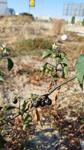
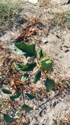
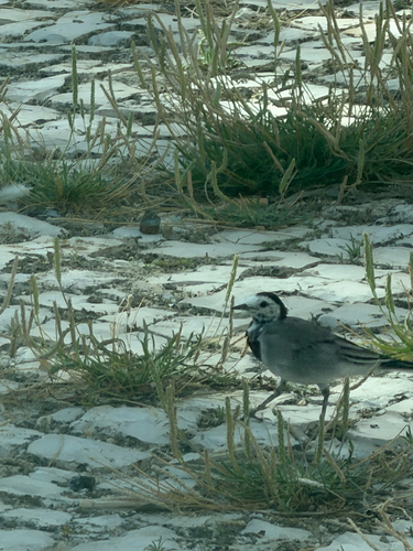
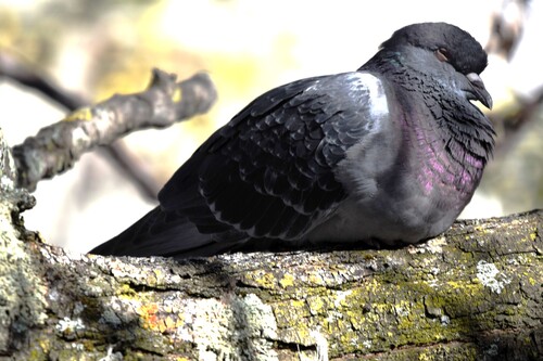
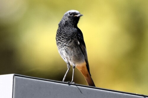
Research-grade observations from iNaturalist (within ~15 mi).
Events
Gallery
Official Identifiers
INE Portugal
- INE ID
- 150303
- Population (Wikidata)
- 11,707
- Wikidata
- Q598662
INE ID via Wikidata P6324
Sources
- • USGS Earthquake Catalog (global feed)
- • GBIF (Global Biodiversity Information Facility)
- • iNaturalist
- • Open-Meteo / sunrise-sunset.org
- • Wikipedia Pageviews API
- • Wikidata SPARQL (CC0) — population, area, elevation, inception, head of government, Commons image
- • INE Portugal — INE ID via Wikidata P6324