Browse / Portugal / Setúbal / Seixal
Seixal
Setúbalcity

Seixal
Total population
6,128
Founded
1836
Demographic figures from INE Portugal. Overview below cites Wikipedia and may reference a different year.
City facts
Facts from Wikidata (CC0).
Overview
Seixal is a Portuguese city and municipality, located in the district of Setúbal, in the metropolitan area of Lisbon. Its population includes 184,269 inhabitants (2011), in an area of 93.58 square kilometres (36.13 mi2) that includes six parishes. It is situated across the Tagus River estuary from Lisbon. Its seat is the city of Seixal, a centre of 31,600 inhabitants situated along the Rio Judeu.
Read more on WikipediaHistory & geography
History
The toponymy Seixal comes from a type of smooth stone (seixo) that is found in rivers; the name evolving from the name used to describe the geomorphology of the region. Since the Roman era, the Tagus bay has been a region of human settlement, from many of the archaeological discoveries at Quinta do Rouxinol, in Corroios, and Quinta de S. João, in Arrentela (beginning in the period of the Portuguese Age of Discovery). A land of fishermen and signeurial holdings, the municipality of Seixal evolved over the centuries, always with the connection to the river. It was across the Tagus that many of the region's products (fish, cereals, salt, olive oil, wine and fruits) were exported to the regional capital. In the 15th century, due to its prime location, various dockyards and shipbuilders began constructing river boats and trans-Atlantic ships. At the same time, the tides of the region were used to develop mills, such as the tidal mill in Corroios in 1403, fostering various the millers, caulkers and carpenters along the river. It was in Seixal that the brothers Vasco da Gama and Paulo da Gama built vessels for the trip to India. While Vasco da Gama was in Lisbon to prepare the trip, Paulo da Gama commanded carpenters and caulkers in the construction of the ships. Estevão da Gama, the father of the brothers, was commander of Seixal. The construction of the ships was the beginning of what is known as the Portuguese Discoveries. The settlement at this time was actually a part of the parish of Arrentela, then a division of Almada. At the beginning of the 16th century, the population of the territory numbers three dozen homes, and by the 18th century there was a population of 400 inhabitants. After the Liberal revolution, during the administrative reforms of 1836, during the…
Geography
{| border="0" cellpadding="20" cellspacing="0" style="float:right;" | |} Seixal is situated on the peninsula of Setúbal and is part of the metropolitan area of Lisbon. The municipality is bordered to the east by the municipality of Barreiro, south by Sesimbra, west by Almada (with which it has a strong affinity) and the north by the Tagus estuary, through which connects to Lisbon. The Bay of Seixal is part of the Tagus River Estuary, that is fed by several rivers and confluents that extend to the sea; classified as a Reserva Ecológica Nacional (National Ecological Reserve), the bay and small tributaries are part of one of the most important humid zones in Portugal, supporting an elevated biodiversity and exceptional landscape. Seixal is one of the eight municipalities with the most inhabitants in Portugal, and is composed of four parishes occupying a territory of : * Amora * Corroios * Fernão Ferro * Seixal, Arrentela e Aldeia de Paio Pires Although the municipal population continued to grow with development, after the 1970s there was a boom in the population, due to improvements in accessibility and mobility, principally due to public transport, its location to Lisbon and installation of economic activities within the territory. This growth transformed, in a short time, from a territory predominantly rural into an urban municipality, consisting of agglomerations of large dimensions focusing on various establishments and social centres. This growth resulted in the 1993 elevation of Seixal and Amora into cities, and the establishment of Corroios into the status of town.
Excerpted from the corresponding Wikipedia article (CC BY-SA).
Geography
Coordinates & boundaries from the US Census TIGER/Line shapefiles.
Climate
Air quality
Walkability
Amenities nearby
Wildlife & biodiversity
Earthquake history
Photos
Sights & places nearby
Notable people from here
Nearby places in Setúbal
- Amora1 mi away · pop. 8,884
- Corroios2.4 mi away · pop. 9,460
- Alto do Seixalinho2.6 mi away
- Palhais3.3 mi away · pop. 2,036
- Baixa da Banheira3.6 mi away · pop. 20,905
- Sobreda4.5 mi away · pop. 5,242
- Alhos Vedros4.6 mi away · pop. 4,433
- Coina4.9 mi away · pop. 765
- Charneca de Caparica5 mi away
- Monte de Caparica5.1 mi away
- Gaio-Rosário5.9 mi away
- Moita6.2 mi away · pop. 13,735
Geography & sun
Elevation, sunrise/sunset and daylight from Open-Meteo. Solar climatology from NASA POWER.
Nearby airports
Public attention
Pageview totals from the Wikimedia Pageviews API.
Books about Seixal
Search results from Open Library.
Recent natural events nearby
Ground air-quality sensors
Recently spotted species
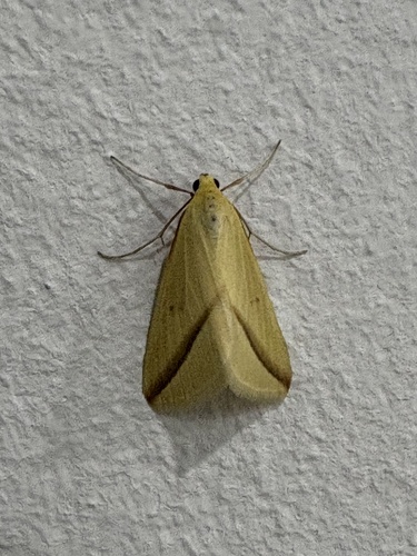
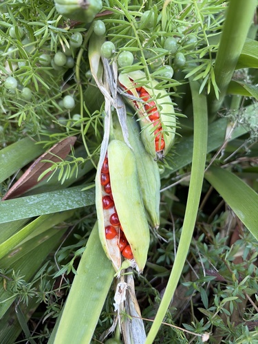
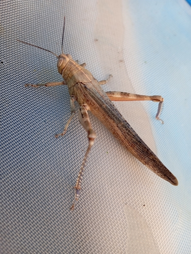
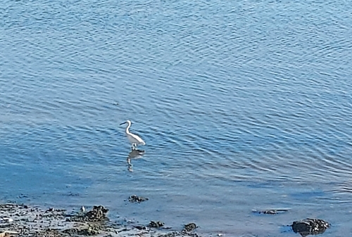
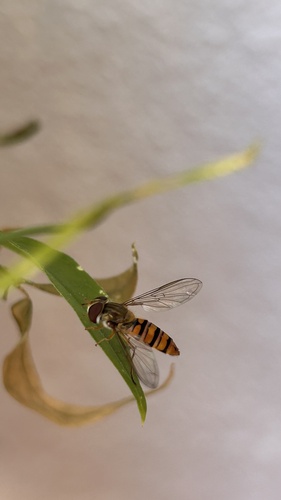
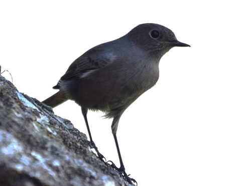
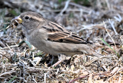
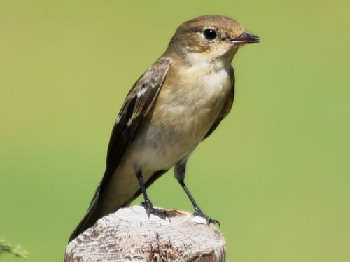
Research-grade observations from iNaturalist (within ~15 mi).
Events
Gallery
Sources
- • Wikipedia
- • Wikidata
- • iNaturalist
- • Open-Meteo / sunrise-sunset.org
- • Wikipedia Pageviews API
- • Open Library
- • Wikidata SPARQL (CC0) — population, area, elevation, inception, head of government, Commons image