Browse / Portugal / Leiria / Leiria
Leiria
Leiriacity

Leiria
Total population
55,074
Founded
1142
Air quality index
Demographic figures from INE Portugal. Overview below cites Wikipedia and may reference a different year.
City facts
Sister cities
Facts from Wikidata (CC0).
Overview
Leiria is a city and municipality in the Central Region of Portugal. It is the second largest city in that same region, after Coimbra, with a municipality population of 128,640 in an area of 565.09 square kilometres (218.18 sq mi). It is the seat of its own district and the Roman Catholic Diocese of Leiria-Fátima. The city is part of the historical province of Beira Litoral.
Read more on WikipediaHistory & geography
History
The region around Leiria has long been inhabited although its early history is uncertain. The first evident inhabitants were the Turduli Oppidani, a Celtici tribe (akin to the Lusitanians), who established a settlement near (around 7 km) present-day Leiria. This settlement was later occupied by the Romans, who expanded it under the original Celtiberian name Collippo. The stones of the ancient Roman town were used in the Middle Ages to build much of Leiria. The name "Leiria" in Portuguese derives from 'leira' (from the medieval Galician-Portuguese form 'laria', from proto-Celtic *ɸlār-yo-, akin to English 'floor(ing)', Old Irish 'làr' 'ground, floor', Breton 'leur' 'ground', Welsh 'llawr' 'floor') meaning an area with small farming plots. It was occupied by the Suebi in 414 until they were forced by the Romans to retreat to Galicia and later incorporated by Leovigild into the Visigoths kingdom in 585 A.D. Later the Moors occupied the area until it was re-captured by the first King of Portugal, Afonso Henriques in 1135, during the Reconquista. South of Leiria in that period was the so-called no-man's land, until regions further south (like Santarém and Lisbon) were permanently taken and re-populated by the Christians. In 1142 King Afonso Henriques gave Leiria its first foral (compilation of feudal rights) to stimulate the colonisation of the region. Both Afonso I of Portugal and Sancho I rebuilt the walls and the Leiria Castle to avoid new enemy incursions. Most of the population lived inside the protective city walls, but already in the 12th century part of the population lived outside the walls. The oldest church of Leiria, the Church of Saint Peter (Igreja de São Pedro), built in romanesque style in the last quarter of the 12th century, served the parish…
Geography
Leiria is located in western Central Portugal. The municipality borders the Atlantic Ocean to the northwest, Marinha Grande to the west, Alcobaça to the southwest, Batalha to the south, Ourém to the southeast, and Pombal to the north and northeast. The city is located about halfway between Lisbon and Porto. The distance to Lisbon is , to Coimbra and to Porto . The historic city centre spreads between the castle hill and the river Lis. Leiria is also the seat of its own sub-region, Região de Leiria, which includes the cities of Marinha Grande, Pombal as well the municipalities/town seats of Batalha, Alcobaça and Porto de Mós located nearby. The city of Leiria has a Mediterranean climate (Köppen: Csb) with warm, dry summers and mild, wet winters. Its location near the Atlantic coast keeps temperature variation relatively minimal. The average annual temperature is around , varying between in January, to in August. Winters are mild and wet. On average, around 50% of the days receive some form of precipitation in this season. Average temperatures range between during the day and at night and can go below on colder days, with an average of 15 days with frost per year. Springs are pleasant, but usually rainy during the month of April. This season, though wet, is slightly drier than winter, with the majority of days receiving no precipitation. Average temperatures range between at day and at night. Summers bring high temperatures and sunshine. Precipitation, when present, mostly occurs in the form of drizzle, and accounts for only around 20% of days between June and September. Sunshine hours reach their maximum in August (which is sunny 70% of the time). Average temperatures range between at day and at night, the maximum can exceed on hotter days. Autumn,…
Excerpted from the corresponding Wikipedia article (CC BY-SA).
Geography
Coordinates & boundaries from the US Census TIGER/Line shapefiles.
Climate
Air quality
Current readings from Open-Meteo Air Quality API (Copernicus CAMS European reanalysis).
Walkability
Amenities nearby
Wildlife & biodiversity
Most-observed species
- House SparrowPasser domesticus (Linnaeus, 1758) · Aves1,043
- Eurasian BlackbirdTurdus merula Linnaeus, 1758 · Aves1,017
- European RobinErithacus rubecula (Linnaeus, 1758) · Aves882
- Carrion CrowCorvus corone Linnaeus, 1758 · Aves800
- European GreenfinchChloris chloris (Linnaeus, 1758) · Aves730
- European GoldfinchCarduelis carduelis (Linnaeus, 1758) · Aves704
- Eurasian BlackcapSylvia atricapilla (Linnaeus, 1758) · Aves692
- White WagtailMotacilla alba Linnaeus, 1758 · Aves684
Citizen-science & research observations from the Global Biodiversity Information Facility (GBIF).
Earthquake history
Most recent
- M 3.5 — 2026-02-194 km ENE of Sobral de Monte Agraço, Portugal
- M 2.6 — 2020-04-1911 km ENE of Pombal, Portugal
- M 4.2 — 2017-08-175 km N of Arruda dos Vinhos, Portugal
- M 3.6 — 2017-02-014 km WSW of Porto de Mós, Portugal
- M 2.8 — 2013-09-015 km SSE of Benavente, Portugal
- M 3 — 2007-08-274 km WNW of Rio Maior, Portugal
Events from the USGS Earthquake Catalog (global) (FDSN Event Web Service).
Photos
Sights & places nearby
Notable people from here
Nearby places in Leiria
- Mala Črešnjevica1375.4 mi away · pop. 199
- Grabrovnica1376.8 mi away · pop. 405
- Velika Črešnjevica1376.8 mi away · pop. 515
- Sedlarica1377.5 mi away · pop. 363
- Kladare1378.3 mi away · pop. 467
- Otrovanec1378.5 mi away · pop. 624
- Turnašica1378.5 mi away · pop. 333
- Vukosavljevica1379.1 mi away · pop. 679
- Lozan1381.9 mi away · pop. 440
- Stari Gradac1382.4 mi away · pop. 674
- Novi Antunovac1382.5 mi away · pop. 103
- Bušetina1385.3 mi away · pop. 815
Geography & sun
Elevation, sunrise/sunset and daylight from Open-Meteo. Solar climatology from NASA POWER.
Nearby airports
Public attention
Pageview totals from the Wikimedia Pageviews API.
Books about Leiria
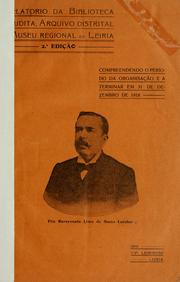
Search results from Open Library.
Recent natural events nearby
Ground air-quality sensors
Recently spotted species
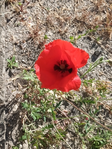
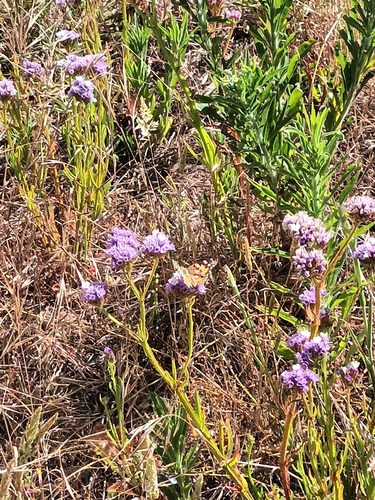
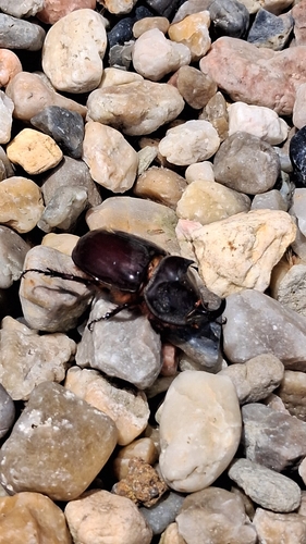
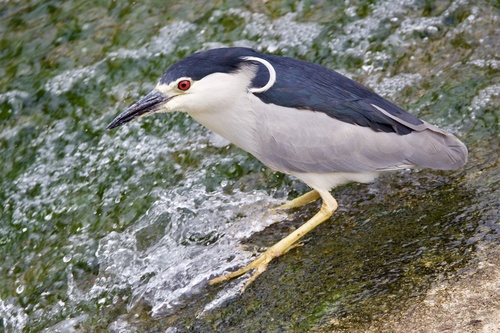
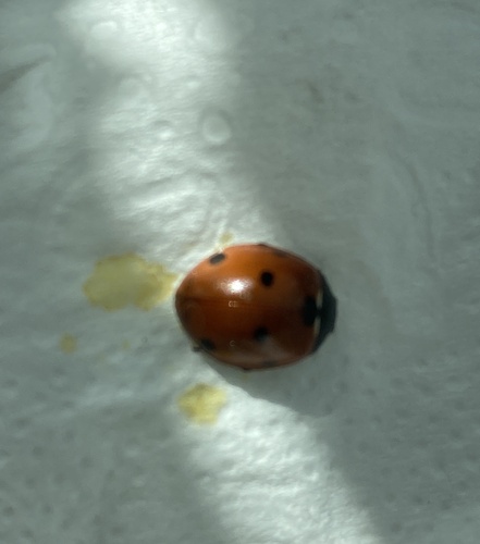
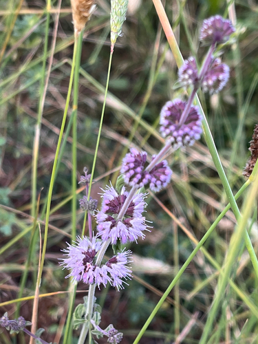
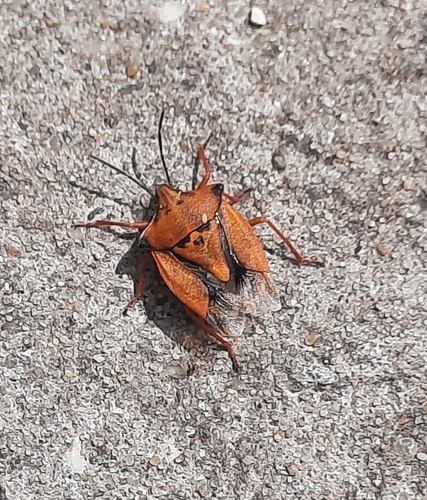
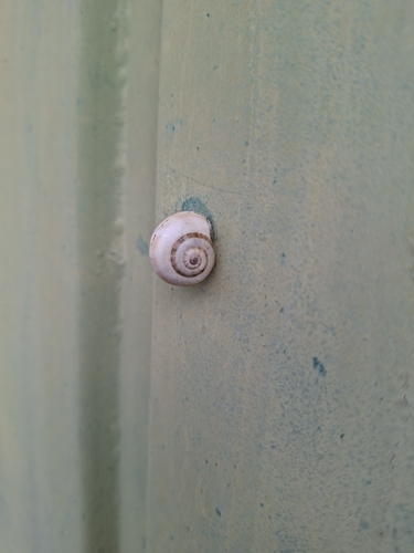
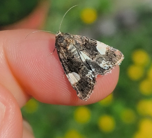
Research-grade observations from iNaturalist (within ~15 mi).
Events
Gallery
Geotagged photos within ~6 miles of Leiria, from Wikimedia Commons contributors.


.jpg)
.jpg)
.jpg)
.jpg)
.jpg)
.jpg)
.jpg)
.jpg)
.jpg)
.jpg)
.jpg)
.jpg)
.jpg)
.jpg)
.jpg)
.jpg)
.jpg)
.jpg)
.jpg)
.jpg)
.jpg)
.jpg)
Photos via Wikimedia Commons — see each image page for license & attribution.
Sources
- • Wikipedia
- • Wikimedia Commons
- • Wikidata
- • Open-Meteo Air Quality (CAMS)
- • USGS Earthquake Catalog (global feed)
- • GBIF (Global Biodiversity Information Facility)
- • iNaturalist
- • Open-Meteo / sunrise-sunset.org
- • Wikipedia Pageviews API
- • Open Library
- • Wikidata SPARQL (CC0) — population, area, elevation, inception, head of government, Commons image